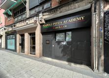
Opportunity to continue with a business already in place
Transfer: 90,000€ negotiable
Verified Listing
The content of this page has been verified by the Belbex Research team – CoStar Group
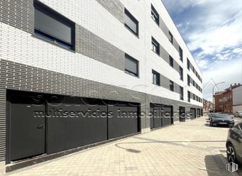
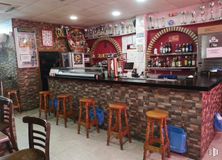
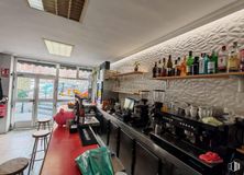
Magnificent bar-restaurant with a long history with a large outdoor terrace. It is located in one of the busiest areas because it is surrounded by residential buildings, as well as all kinds of services around it.
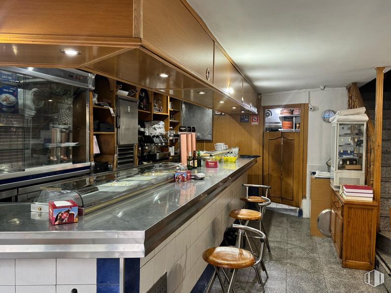
It has approx. 54 m2 street floor where the kitchen with smoke outlet is located.
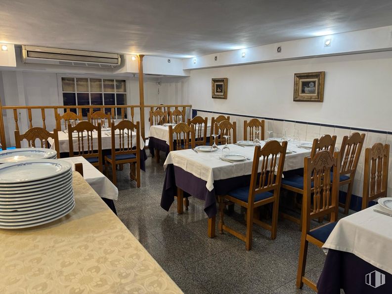
Large living room upstairs with 7 tables.
It has an interior capacity of 42 people.
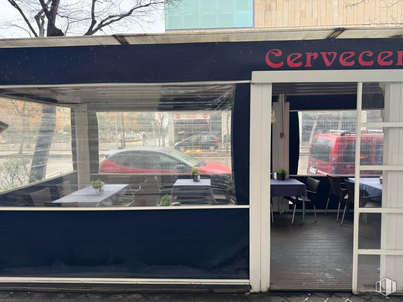
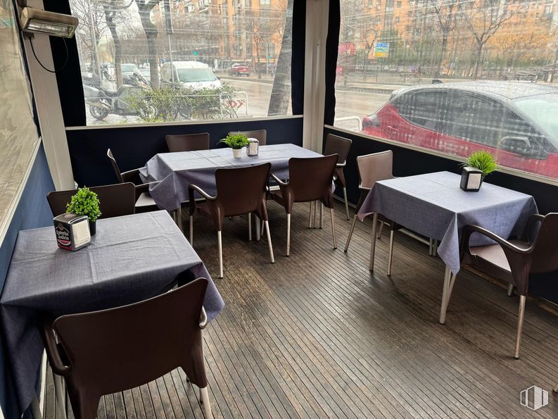
It has a large closed terrace for all seasons of the year with 16 tables.
Economic conditions:
-Contract guarantees.
-Two month bail.
-Four months of guarantees.
Spaces
Floor
Use
m2
€/mo
€/m2/mo
Space layout
Availability
Ground
Retail
54
2,850
52.78
Open Plan
Available now
New
Building info
Total Floor: 9Construction year: 1978
Amenities
Toilets
Full equiped Kitchen
On the street
Terrace
Business for sale
Parking
Bus stop
Public Transportation
Natural Light - Good
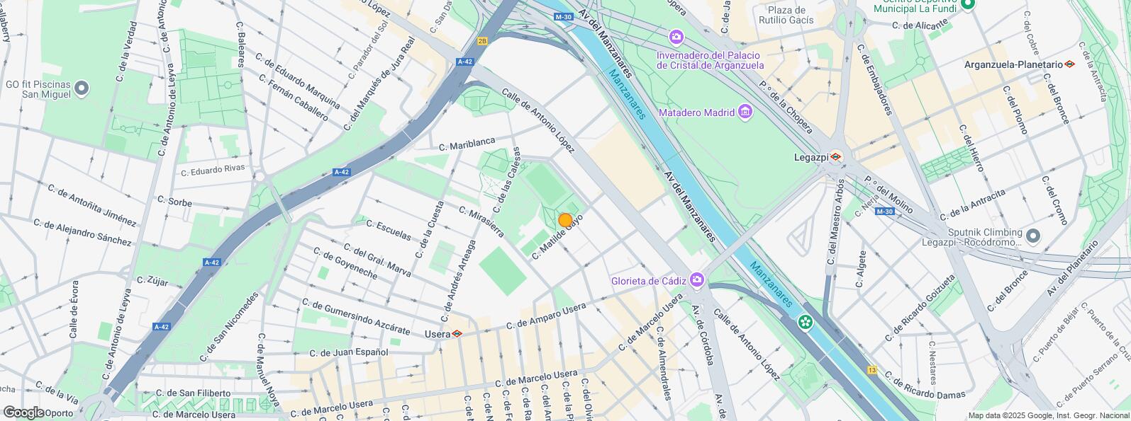
Location map
Map loading...
Contact
Transport
Bus
Line
Distance
Antonio Lopez-Mariblanca
23, N15
73 m
Antonio Lopez-Matilde Gayo
23
142 m
Antonio Lopez-Amparo Usera
23, N15
319 m
Pº Sta.Mª Cabeza-Mariblanca
55, 60, N17
389 m
Underground
Line
Distance
Usera
6
420 m
Legazpi
3, 6
638 m
Almendrales
3
862 m
Commuter train
Line
Distance
Delicias
C1, C7, C10
1 km
Doce de Octubre
C5
1 km
Pirámides
C1, C7, C10
1 km
Embajadores
C5
2 km
Transport Node
Distance
Área Intermodal de Legazpi
675 m
Estación de Atocha Renfe
2 km
Estación de Madrid-Chamartín
9 km
Aeropuerto Adolfo Suárez-Madrid Barajas
14 km
Taxi
Stop
Distance
Calle de Antonio Lopez, 174
12.05
399 m
Points of interest
Commercial areas
Distance
C.C. Plaza Río 2
115 m
Alcampo Madrid Río
141 m
Mercado Municipal de Usera
504 m
Mercado Municipal de Jesús del Gran Poder
541 m
Hotels
Distance
Hotel Praga ****
528 m
Hotel Carlton ****
2 km
Hotel NH Palacio de Tepa *****
3 km
Public Administration
Distance
Junta Municipal de Distrito. Arganzuela
404 m
Oficinas de empleo de Usera
453 m
Administración de la Agencia Tributaria Villaverde-Usera
634 m
Oficinas de empleo de Legazpi
1 km
Ayuntamiento de Madrid
3 km
Health
Distance
Centro de Salud Las Calesas
247 m
Consultorio de Antonio Leyva
2 km
Protection and security
Distance
Parque de Bomberos de Madrid Nº 5. Usera
310 m
Policía Municipal (OAC) Arganzuela
547 m
SEPRONA/I.C.A.E./Zona de Madrid
1 km
Centro de Inserción Social Victoria Kent
1 km
Comisaría tramitación de DNI y pasaporte - Madrid - Usera - Villaverde 2
1 km
Other points of interest
Distance
Farmacia Calle de Antonio López 109, Madrid
115 m
Farmacia Calle Hermenegildo Bielsa 0, Madrid
141 m
Gasolinera Calle Mirasierra, s/n
306 m
Invernadero del Palacio de Cristal de la Arganzuela
Usera District is one of Madrid’s 21 districts, administratively arranged in the following quarters: Orcasitas, Orcasur, San Fermín, Almendrales, Moscardó, Zofío and Pradolongo. It covers a surface of 770.28 hectares and it is delimited by the River Manzanares, Puente de Praga, Paseo de Santa María de la Cabeza, Plaza de Fernández Ladreda, roads A-42 and M-40. It borders to the west and nothwest with Carabanchel, to the northeast with Arganzuela, to the east with Puente de Vallecas, and to the south with Villaverde District.