The content of this page has been verified by the Belbex Research team – CoStar Group
Reference: JARG23-88
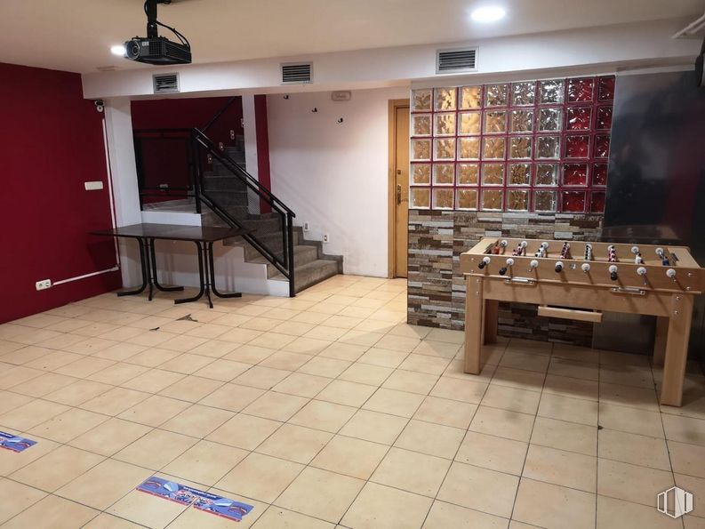
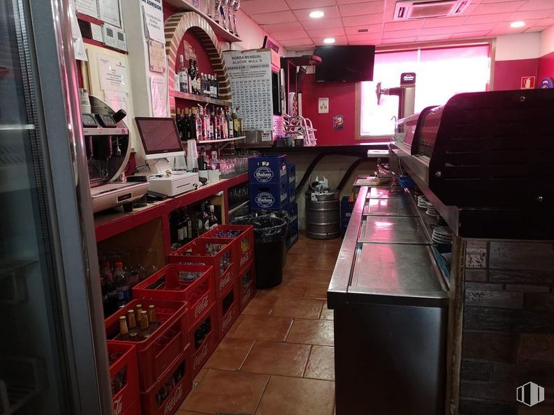
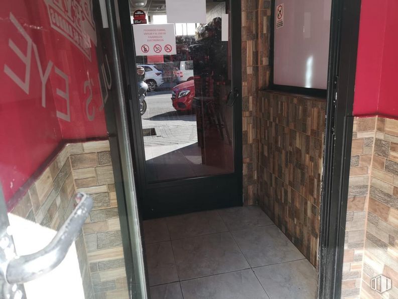
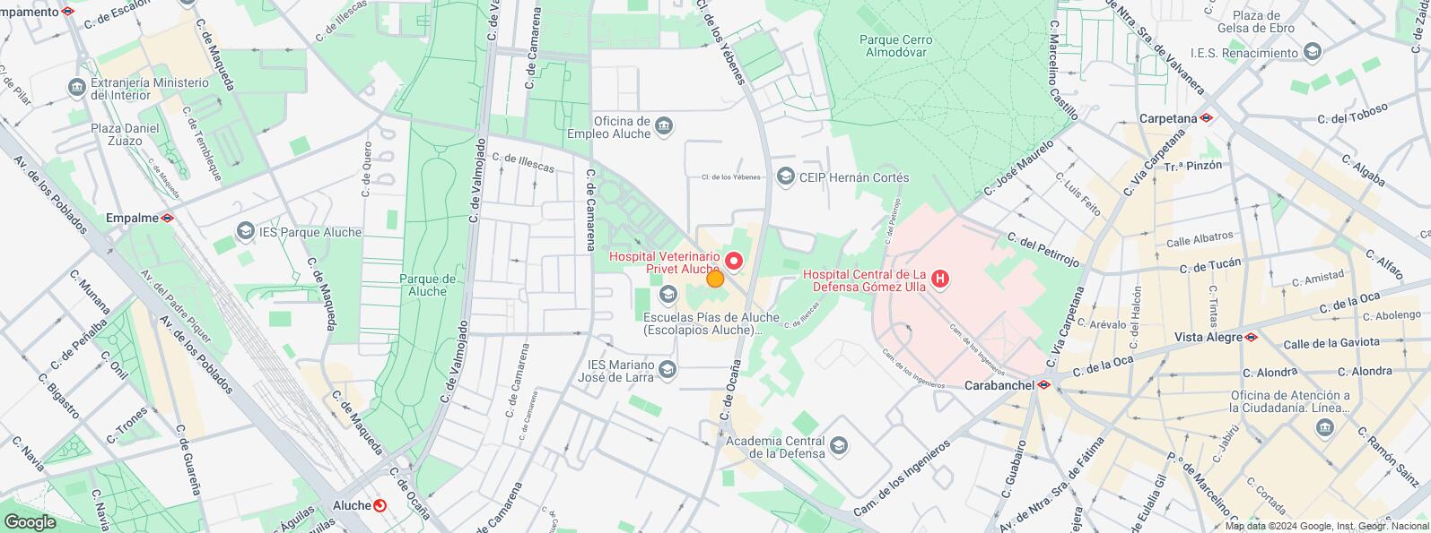
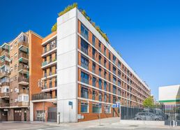
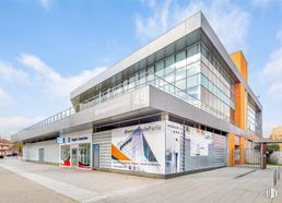
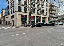
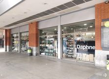
Great investment opportunity in the heart of the Aluche neighborhood, in a very dynamic area with high pedestrian traffic and very good connections by public and private transport.
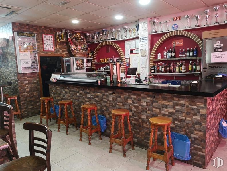
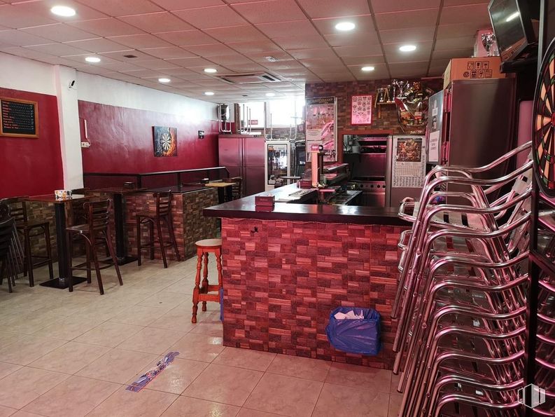
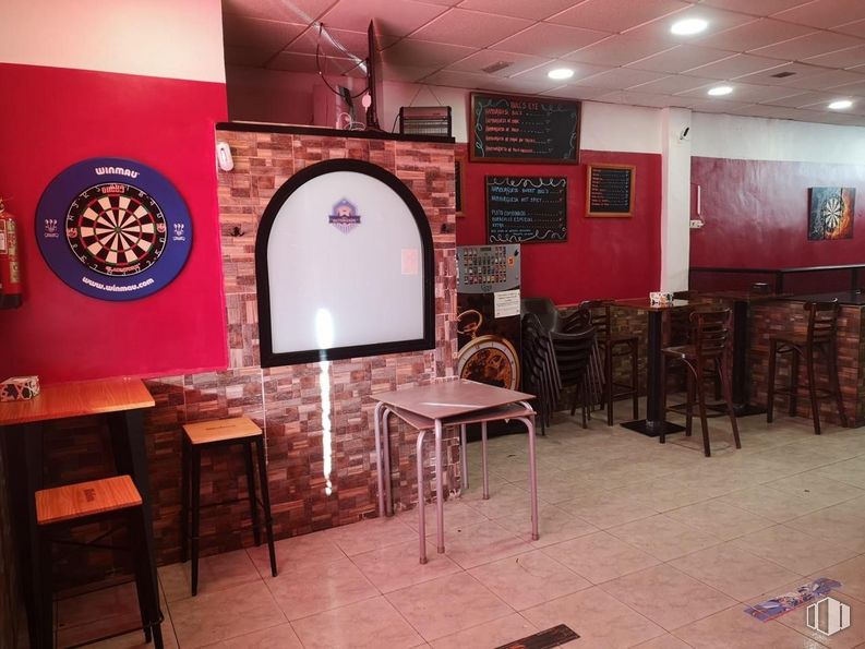
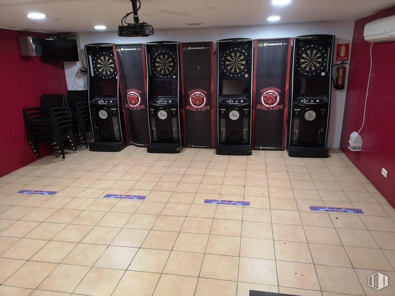
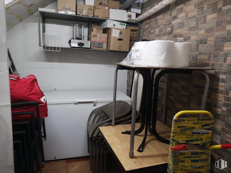
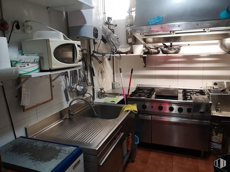
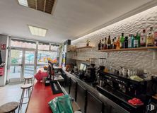
The property has a total built area of 125 m2, of which 115 are useful. For family reasons, it is transferred actively and with regular clientele.
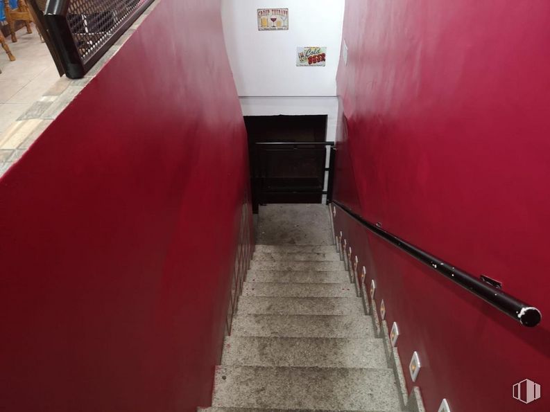
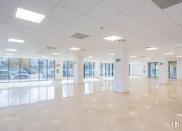
It consists of four large areas, a kitchen equipped with a smoke outlet and three bathrooms, offering a versatile and functional space. It also has a terrace.
Last updated 1 day ago
Building info
Total Floor: 1Construction year: 1972
Location map
Map loading...
Rent history
Floor
Use
m2
Date
Ground
Retail
125
Oct. 2024
Ground
Retail
125
Jun. 2024
Ground
Retail
125
Jan. 2024
Note: This table contains the listings added and the listings that were modified according to their type, use, m2 or price
Transport
Bus
Line
Distance
Illescas-Los Yebenes
31
11 m
Los Yebenes-Illescas
31
32 m
Illescas Nº 82
31
110 m
Camarena Nº 125
31, 121, N18
302 m
Underground
Line
Distance
Carabanchel
5
591 m
Eugenia de Montijo
5
605 m
Aluche
5
869 m
Commuter train
Line
Distance
Aluche
C5
889 m
Laguna
C5
1 km
Fanjul
C5
2 km
Las Águilas
C5
3 km
Transport Node
Distance
Intercambiador de Aluche
838 m
Estación de Atocha Renfe
6 km
Estación de Madrid-Chamartín
11 km
Aeropuerto Adolfo Suárez-Madrid Barajas
17 km
Taxi
Stop
Distance
Calle de Illescas, S/N
10.02
352 m
Points of interest
Commercial areas
Distance
C.C. Plaza Aluche
1 km
Carrefour Aluche
1 km
Hipercor Vista Alegre
1 km
Mercado Municipal de Puerta Bonita
1 km
Public Administration
Distance
Oficinas de empleo de Aluche
317 m
Junta Municipal de Distrito. La Latina
1 km
Servicio Común Actos Comunicación y Ejecución
1 km
Oficinas de empleo de Agueda Díez
2 km
Ayuntamiento de Madrid
6 km
Health
Distance
Hospital Central de la Defensa Gómez Ulla
606 m
Centro de Salud Los Yébenes
643 m
Protection and security
Distance
Comisaría tramitación de DNI y pasaporte, Oficina de extranjeros - Madrid - Latina
924 m
Parque de Bomberos de Madrid Nº 12. Latina
1 km
Policía Municipal (OAC) Latina
2 km
Other points of interest
Distance
Farmacia Calle de Illescas 203, Madrid
175 m
Farmacia Calle de los Yébenes 110, Madrid
242 m
Parque Cerro Almodóvar
643 m
Gasolinera Avenida Nuestra Señora de Fátima, 22
722 m
Parque Cuña Verde
2 km
La Latina
La Latina
La Latina District covers an area of 2,542.97 hectares and runs parallel to the Extremadura road to the southwest of the capital. It borders with the districts of Carabanchel, Arganzuela, Centro and Moncloa - Aravaca and includes the quarters of Los Cármenes, Puerta del Ángel, Lucero, Aluche, Campamento, Cuatro Vientos and Las Águilas. Latina District must not be confused with La Latina Quarter, which is located inside the Central District. They share the same name because both of them are named after Beatriz Galindo, La Latina, a humanist who was a friend of Isabella I of Castile, and hence her nickname La Latina. The Bridge of Segovia, which joins the historical centre with the southeast of Madrid was built in 1574 during the reign of Felipe I. It is the work of the architects Gaspar de Vega and Juan de Herrera.