
199 m2
| Floor Ground
300,000 €
| 1,508 €/m2
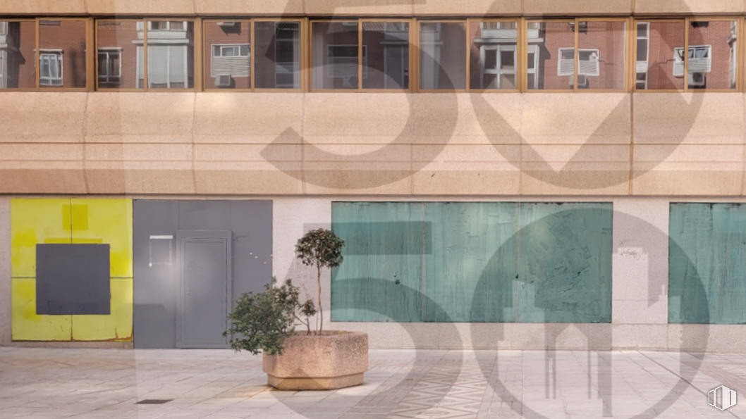


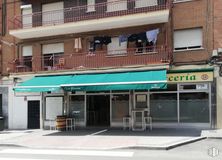
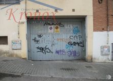
Fantastic commercial space of 140 m2 located in the Nueva Numancia neighborhood.
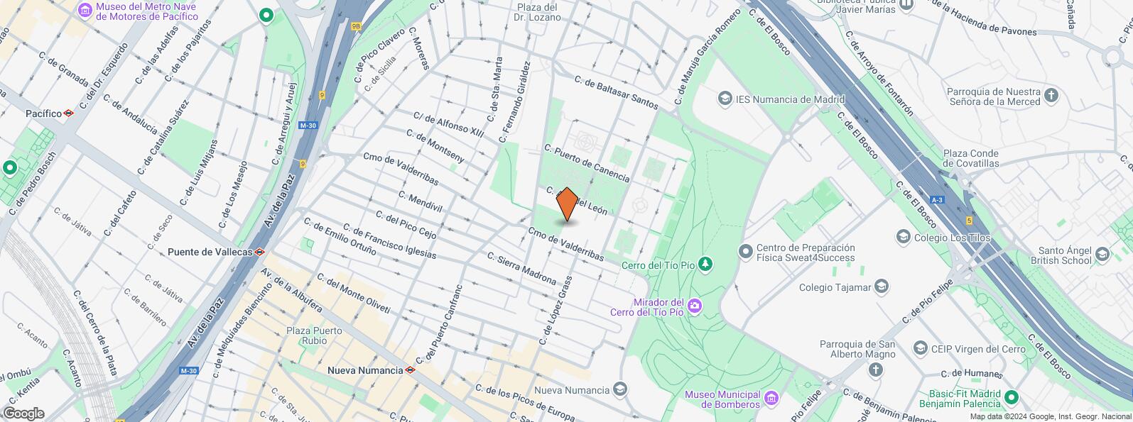
Location next to Avenida de la Albufera, in a consolidated area of Puente de Vallecas with all kinds of services surrounding it. Good communication by public transport via metro and a nearby bus stop with direct line (141) to Atocha.
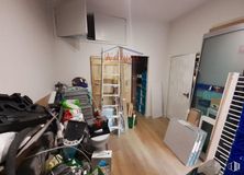
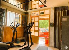
The space is distributed in two different rooms: one larger and the other consisting of a distributor where the bathrooms are located (one of them adapted for people with reduced mobility). It also has an office area and an accounting room.
| Floor | Use | m2 | € | €/m2 | Space layout | Availability |
|---|---|---|---|---|---|---|
| Ground | Retail | 140 | 460,000 | 3,286 | Partitioned | Available now |
| Bus | Line | Distance |
|---|---|---|
| Sierra Toledana | 141 | 127 m |
| Sierra Toledana-Cº Valderribas | 141 | 135 m |
| Cº Valderribas-Dr.Salgado | 141 | 303 m |
| Mendivil-Doctor Salgado | 141 | 341 m |
| Underground | Line | Distance |
|---|---|---|
| Nueva Numancia | 1 | 544 m |
| Portazgo | 1 | 696 m |
| Puente de Vallecas | 1 | 800 m |
| Commuter train | Line | Distance |
|---|---|---|
| Méndez Alvaro | C1, C5, C7, C10 | 2 km |
| Asamblea de Madrid-Entrevías | C1, C2, C7 | 2 km |
| El Pozo | C1, C2, C7 | 3 km |
| Atocha | C1, C2, C3, C4, C5, C7, C8, C8a, C8b, C10 | 3 km |
| Transport Node | Distance |
|---|---|
| Área Intermodal de Conde de Casal | 1 km |
| Estación de Atocha Renfe | 3 km |
| Estación de Madrid-Chamartín | 8 km |
| Aeropuerto Adolfo Suárez-Madrid Barajas | 10 km |
| Taxi | Stop | Distance |
|---|---|---|
| Calle de la Sierra Toledana, 13 | 13.05 | 208 m |
| Commercial areas | Distance |
|---|---|
| Mercado Municipal de Doña Carlota | 480 m |
| Mercado Municipal de Numancia | 637 m |
| Alcampo Vallecas | 813 m |
| C.C. Albufera | 838 m |
| Hotels | Distance |
|---|---|
| Hotel Ibis Budget Madrid 30 * | 993 m |
| Hotel Claridge **** | 1 km |
| Hotel Ayre Gran Hotel Colón **** | 2 km |
| Public Administration | Distance |
|---|---|
| Oficinas de empleo de Nueva Numancia | 492 m |
| Junta Municipal de Distrito. Puente de Vallecas | 644 m |
| Administración de la Agencia Tributaria Vinateros | 1 km |
| Asamblea de Madrid | 2 km |
| Ayuntamiento de Madrid | 4 km |
| Health | Distance |
|---|---|
| Centro de Salud Numancia | 347 m |
| C.E. Peña Prieta - Hermanos Sangró | 755 m |
| Protection and security | Distance |
|---|---|
| I.Armas y Explosivos - Madrid | 462 m |
| Comisaría - Madrid - Puente de Vallecas | 711 m |
| Parque de Bomberos de Madrid Nº 8. Puente de Vallecas | 728 m |
| Base de socorro de la Cruz Roja de Madrid. Avda. Moratalaz 50-52 | 848 m |
| Policía Municipal (OAC) Puente de Vallecas | 1 km |
| Other points of interest | Distance |
|---|---|
| Farmacia Calle de San Valero 1, Madrid | 46 m |
| Farmacia Calle del Puerto de Cotos 9, Madrid | 224 m |
| Parque Cerro del Tío Pío | 427 m |
| Gasolinera Avenida Albufera, 89 | 521 m |
| Parking mixto. Pza. del Encuentro | 1 km |
| Parking mixto. Calle Fernández Shaw | 1 km |
| Parking mixto. Pza. del Conde de Casal | 1 km |
Puente de Vallecas


