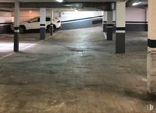

25 m2
| Floor Ground
10,000 €
| 400 €/m2
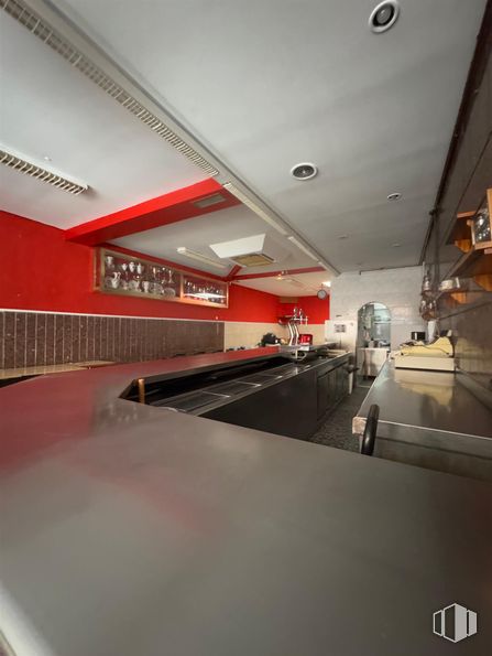
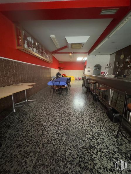
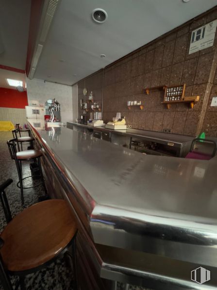
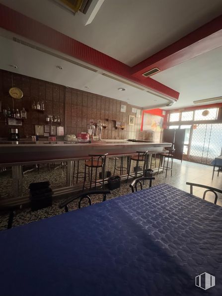
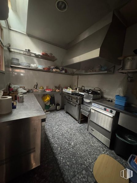
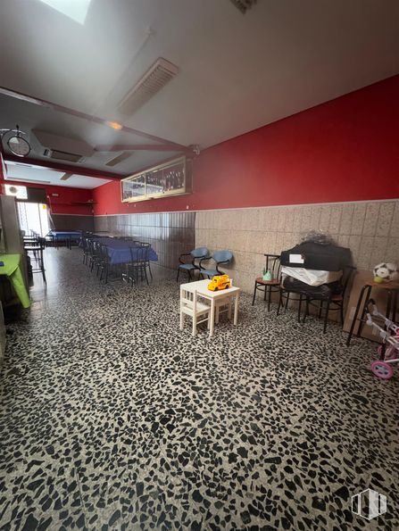
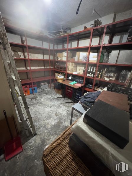
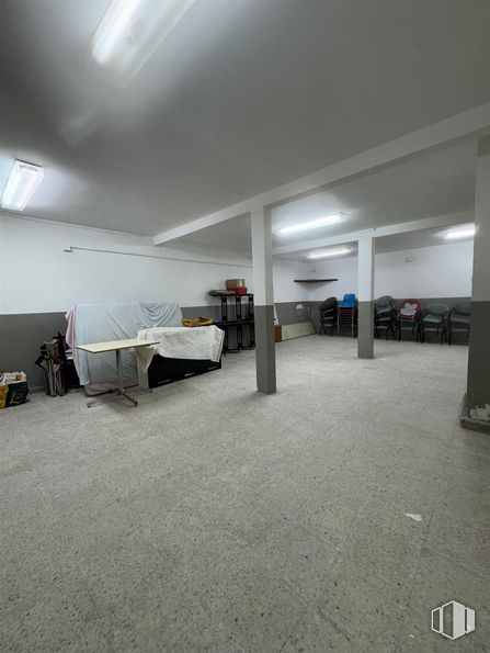
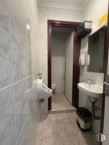
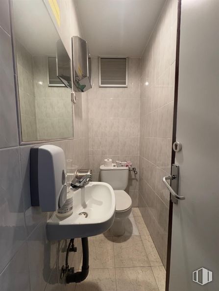
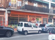
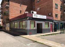
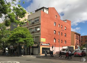
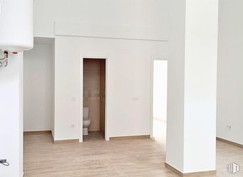
Commercial space of 212 m2, distributed over two floors of about 106 m2 each.
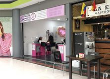
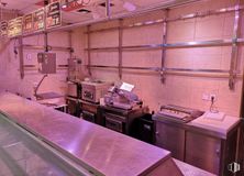
It is currently fully equipped as a bar-restaurant and has a valid license. It has a fully equipped kitchen with dishwasher, fryer, iron, coffee maker, 6-meter-long stainless steel bar, ice maker, refrigerated chambers, etc. It is ready to start the activity tomorrow.
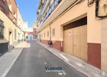
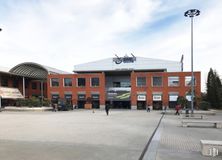
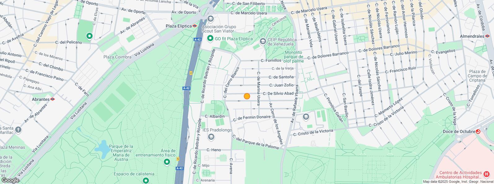
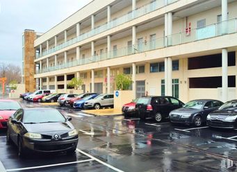
Located near the Elliptical Square, it has easy access to the A-42 road.
| Floor | Use | m2 | € | €/m2 | Space layout | Availability |
|---|---|---|---|---|---|---|
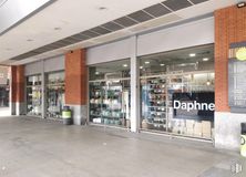
| Ground | Retail | 212 | 194,000 | 915 | Partitioned | Available now |
| Bus | Line | Distance |
|---|---|---|
| Parque de la Paloma-Heno | 78 | 298 m |
| Av.Rafaela Ybarra-Marina Vega | 6, 60, 81 | 386 m |
| Parque de la Paloma-Cerro Angeles | 78 | 400 m |
| Underground | Line | Distance |
|---|---|---|
| Plaza Elíptica | 6, 11 | 512 m |
| Opañel | 6 | 945 m |
| Abrantes | 11 | 991 m |
| Interurban bus | Line | Distance |
|---|---|---|
| Madrid - Intercambiador de Plaza Elíptica | 441, 442, 443, 444, 446, 460, 461, 463, 464, 469, 480 | 447 m |
| Getafe - Intercambiador de Plaza Elíptica | 441, 442, 443, 444, 446 | 464 m |
| Commuter train | Line | Distance |
|---|---|---|
| Doce de Octubre | C5 | 1 km |
| Orcasitas | C5 | 2 km |
| Pirámides | C1, C7, C10 | 2 km |
| Delicias | C1, C7, C10 | 3 km |
| Transport Node | Distance |
|---|---|
| Intercambiador de Plaza Elíptica | 463 m |
| Estación de Atocha Renfe | 4 km |
| Estación de Madrid-Chamartín | 11 km |
| Aeropuerto Adolfo Suárez-Madrid Barajas | 15 km |
| Commercial areas | Distance |
|---|---|
| Mercado Municipal de Usera | 1 km |
| Mercado Municipal de Orcasitas | 1 km |
| C.C. Plaza Río 2 | 2 km |
| Alcampo Madrid Río | 2 km |
| Hotels | Distance |
|---|---|
| Hotel Praga **** | 2 km |
| Hotel NH Ribera del Manzanares **** | 3 km |
| Public Administration | Distance |
|---|---|
| Junta Municipal de Distrito. Usera | 483 m |
| INSS - Centros Urbanos - Nº 15 | 1 km |
| Oficinas de empleo de Usera | 1 km |
| Oficinas de empleo de Agueda Díez | 2 km |
| Ayuntamiento de Madrid | 5 km |
| Health | Distance |
|---|---|
| Centro de Salud Joaquín Rodrigo | 534 m |
| C.E. Orcasitas | 896 m |
| Protection and security | Distance |
|---|---|
| Comisaría tramitación de DNI y pasaporte - Madrid - Usera - Villaverde 2 | 564 m |
| Policía Municipal (OAC) Usera | 1 km |
| Parque de Bomberos de Madrid Nº 5. Usera | 1 km |
| SEPRONA/I.C.A.E./Zona de Madrid | 3 km |
| Centro de Inserción Social Victoria Kent | 3 km |
| Other points of interest | Distance |
|---|---|
| Farmacia Calle de Juan Zofio 4, Madrid | 55 m |
| Farmacia Calle Fermín Donaire 33, Madrid | 208 m |
| Gasolinera Avenida Princesa Juana de Austria, km. 4'700 (A-42 Carretera Toledo) | 338 m |
| Parque Sur | 348 m |
| Parking mixto. Calle Ortiz Campos | 881 m |
| Parque de Pradolongo | 930 m |

Usera