
150 m2
| Floor Ground
145,000 €
| 967 €/m2
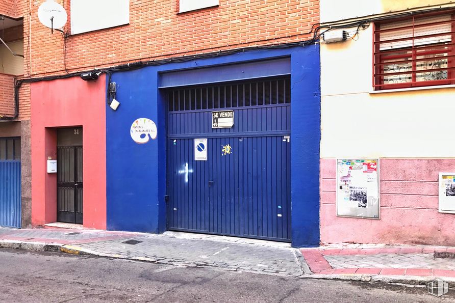


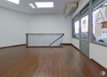
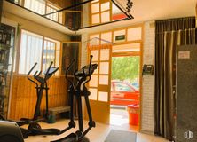
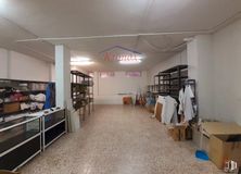
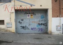
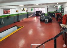
Diaphanous place very well equipped for workshop activities. It consists of 134 m2 and its distribution offers multiple deployment options. It has a wide entrance by means of a metal gate.
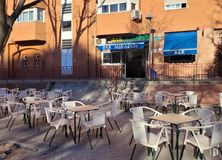
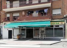
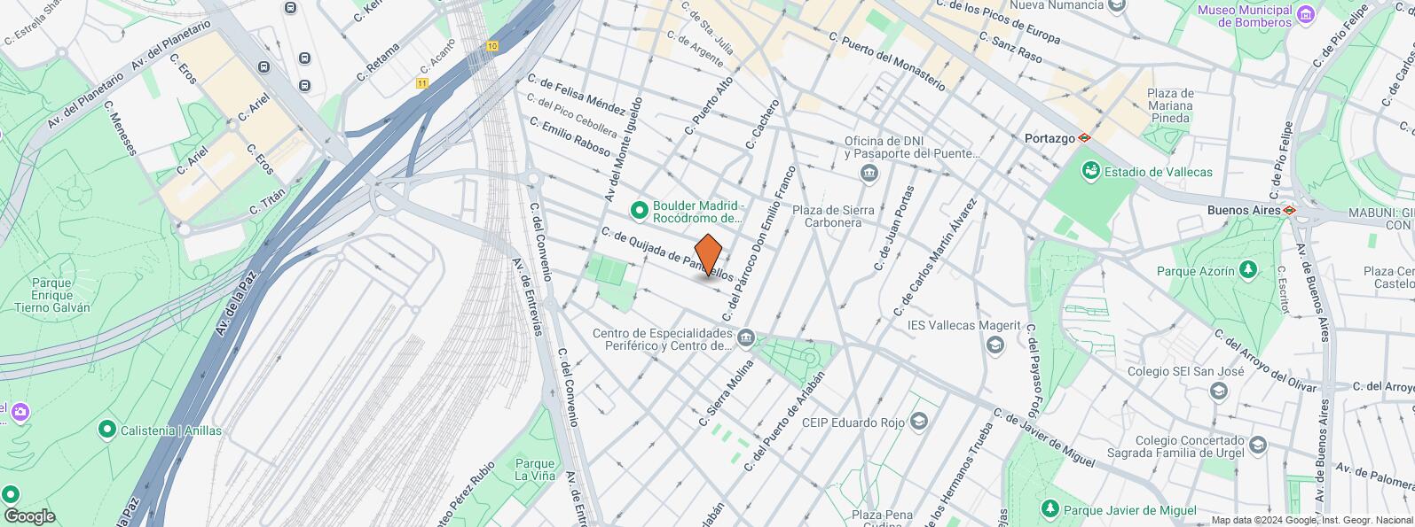
It is located in the area of Puente de Vallecas, well connected by public transport, with a bus stop a few meters from the property.
| Floor | Use | m2 | € | €/m2 | Space layout | Availability |
|---|---|---|---|---|---|---|
| Ground | Retail | 134 | 130,000 | 970 | Open Plan | Available now |
| Bus | Line | Distance |
|---|---|---|
| Pco.Emilio Franco-Palomeras | 24 | 81 m |
| Sierra Molina-Palomeras | 24 | 165 m |
| Pco.Emilio Franco-Martinez Riva | 24 | 207 m |
| Martinez de la Riva-Sierra Carbonera | 24, 111, 310 | 245 m |
| Underground | Line | Distance |
|---|---|---|
| Nueva Numancia | 1 | 689 m |
| Portazgo | 1 | 840 m |
| Puente de Vallecas | 1 | 886 m |
| Commuter train | Line | Distance |
|---|---|---|
| Asamblea de Madrid-Entrevías | C1, C2, C7 | 1 km |
| Méndez Alvaro | C1, C5, C7, C10 | 1 km |
| El Pozo | C1, C2, C7 | 2 km |
| Delicias | C1, C7, C10 | 2 km |
| Transport Node | Distance |
|---|---|
| Estación de Autobuses de Méndez Álvaro | 972 m |
| Estación de Atocha Renfe | 3 km |
| Estación de Madrid-Chamartín | 9 km |
| Aeropuerto Adolfo Suárez-Madrid Barajas | 11 km |
| Commercial areas | Distance |
|---|---|
| Mercado Municipal de Puente de Vallecas | 560 m |
| C.C. Méndez Álvaro - Tiendas El Corte Inglés | 839 m |
| Hipercor Méndez Álvaro | 861 m |
| Mercado Municipal de Numancia | 925 m |
| Hotels | Distance |
|---|---|
| Hotel Ibis Budget Madrid 30 * | 694 m |
| Hotel Claridge **** | 2 km |
| Rafael Hoteles Atocha **** | 2 km |
| Public Administration | Distance |
|---|---|
| Administración de Aduanas Madrid - Ferrocarril | 590 m |
| Junta Municipal de Distrito. Puente de Vallecas | 718 m |
| Asamblea de Madrid | 996 m |
| Oficinas de empleo de Nueva Numancia | 1 km |
| Ayuntamiento de Madrid | 4 km |
| Health | Distance |
|---|---|
| C.E. Vicente Soldevilla | 157 m |
| Centro de Salud Vicente Soldevilla | 158 m |
| Protection and security | Distance |
|---|---|
| Tramitación de DNI y pasaporte - Madrid - Puente de Vallecas | 391 m |
| Sección Aduanas de Abroñigal | 662 m |
| Policía Municipal (OAC) Puente de Vallecas | 1 km |
| Parque de Bomberos de Madrid Nº 8. Puente de Vallecas | 1 km |
| Unidad de Madres Jaime Garralda | 2 km |
| Other points of interest | Distance |
|---|---|
| Farmacia Calle del Párroco Don Emilio Franco 66, Madrid | 74 m |
| Farmacia Calle de Sierra Molina 9, Madrid | 202 m |
| Gasolinera Avenida Monte Igueldo, 108 | 273 m |
| Parque Palomeras Bajas | 857 m |
| Parque Cerro del Tío Pío | 1 km |
| Parking mixto. Calle Fernández Shaw | 2 km |
| Parking mixto. Pza. del Conde de Casal | 2 km |
Puente de Vallecas


