Industrial for sale  270 m2 | Floor 4 
400,000 € | 1,481 €/m2 

  • Communicated via public transport, M-30 and A-4
  • Opportunity for investors
Verified Listing

The content of this page has been verified by the Belbex Research team – CoStar Group

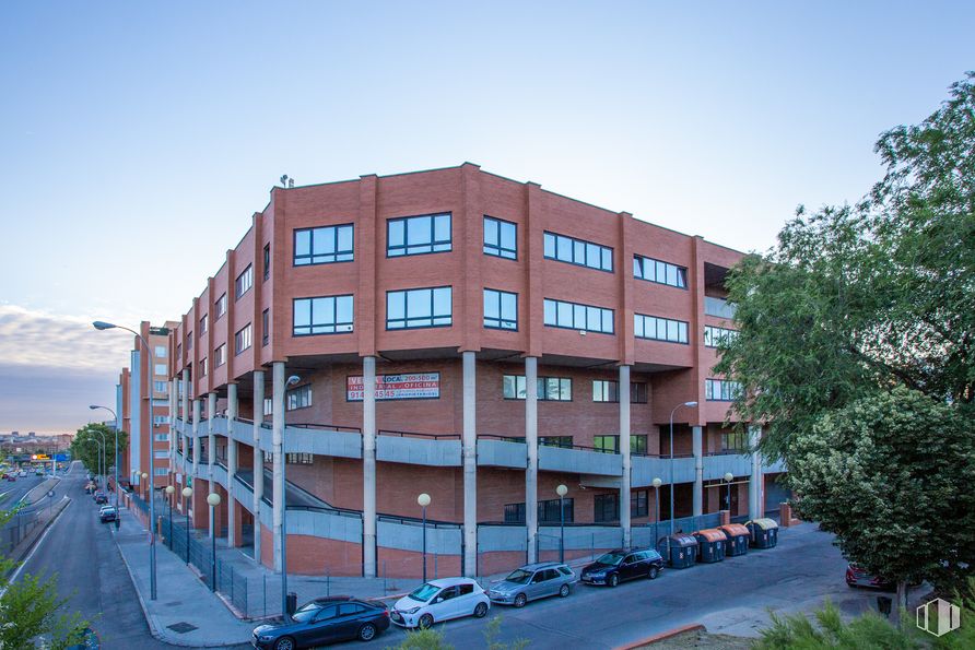
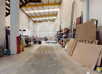
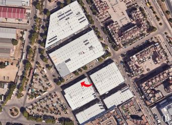
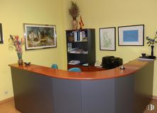
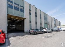
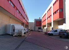
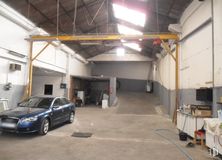
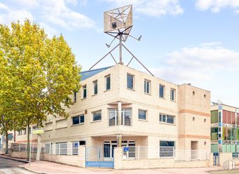
Profitable industrial building, in a mixed-use building. It has 270 m2 of total area respectively, on the 4th floor, distributed between an area for industrial use and an area for office use.

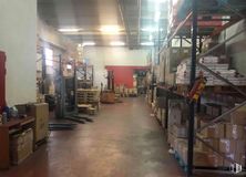
It has a ramp for direct access to vehicles, two loading and unloading docks, three forklifts, concierge and 24-hour security, etc.

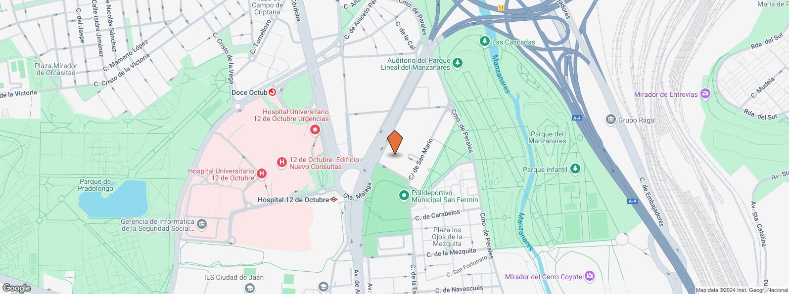
With an excellent location, it has good connections by private transport, since it is located 50 meters from the M-30 and the A-4; as well as by public transport (5 minutes from the 12 de Octubre metro and bus lines).

Spaces

FloorUsem2€/m2Space layoutAvailability
4Industrial270 400,000 1,481 Open Plan Available now
Last updated 2 weeks ago

Building info

Office
Total Floor: 5
Construction year: 1991

Amenities

  • Height
  • Toilets
  • Natural lighting
  • Lifts
  • Commissionaire service
  • Climate control
  • 24 hour security
  • Fire detection system
  • Security System
  • Metro station
  • Full equiped bathrooms
  • Access control
  • Concrete floor

Location map

Map loading...
Contact

Transport

BusLineDistance
San Mario,823, 78, 123, N12129 m
San Mario23, 78, 123, N12150 m
Av.Andalucia-Gta.Malaga18, 22, 59, 76, 79, 81, 85, 86206 m
Av. Cordoba-Hospital 12 de Octubre18, 22, 59, 76, 79, 81, 85, 86, N13, N14216 m
UndergroundLineDistance
Hospital 12 de Octubre3205 m
San Fermín - Orcasur3622 m
Almendrales3928 m
Interurban busLineDistance
Aranjuez - Av. Cordoba - Hospital 12 de Octubre423, 429, N402216 m
Commuter trainLineDistance
Doce de OctubreC5551 m
OrcasitasC51 km
Asamblea de Madrid-EntrevíasC1, C2, C72 km
Méndez AlvaroC1, C5, C7, C102 km
Transport NodeDistance
Área Intermodal de Legazpi2 km
Estación de Atocha Renfe3 km
Estación de Madrid-Chamartín11 km
Aeropuerto Adolfo Suárez-Madrid Barajas14 km
TaxiStopDistance
Calle de San Maximo, 3312.1267 m

Points of interest

Commercial areasDistance
Mercado Municipal de Orcasur1 km
Mercado Municipal de Jesús del Gran Poder1 km
C.C. Los Ángeles1 km
Carrefour Los Ángeles2 km
HotelsDistance
Hotel Praga ****2 km
Rafael Hoteles Atocha ****3 km
Public AdministrationDistance
Administración de la Agencia Tributaria Villaverde-Usera1 km
INSS - Centros Urbanos - Nº 151 km
Oficinas de empleo de Usera1 km
Junta Municipal de Distrito. Usera2 km
Ayuntamiento de Madrid5 km
HealthDistance
Hospital Universitario 12 de Octubre308 m
Centro de Salud San Fermín592 m
Protection and securityDistance
Policía Municipal (OAC) Usera921 m
Comisaría tramitación de DNI y pasaporte - Madrid - Usera - Villaverde 21 km
Parque de Bomberos de Madrid Nº 5. Usera2 km
Sección Aduanas de Abroñigal2 km
Centro de Inserción Social Victoria Kent2 km
Other points of interestDistance
Farmacia Calle de Carabelos 41, Madrid271 m
Farmacia Calle de Taconera 16, Madrid443 m
Gasolinera Calle Antonio López, 244710 m
Parque de Pradolongo1 km
Parking mixto. Calle Ortiz Campos2 km
Invernadero del Palacio de Cristal de la Arganzuela2 km

Usera

Usera

Usera

Usera District is one of Madrid’s 21 districts, administratively arranged in the following quarters: Orcasitas, Orcasur, San Fermín, Almendrales, Moscardó, Zofío and Pradolongo. It covers a surface of 770.28 hectares and it is delimited by the River Manzanares, Puente de Praga, Paseo de Santa María de la Cabeza, Plaza de Fernández Ladreda, roads A-42 and M-40. It borders to the west and nothwest with Carabanchel, to the northeast with Arganzuela, to the east with Puente de Vallecas, and to the south with Villaverde District.
Recommended industrial units for sale
See more industrial spaces for sale in Usera