
199 m2
| Floor Ground
300,000 €
| 1,508 €/m2
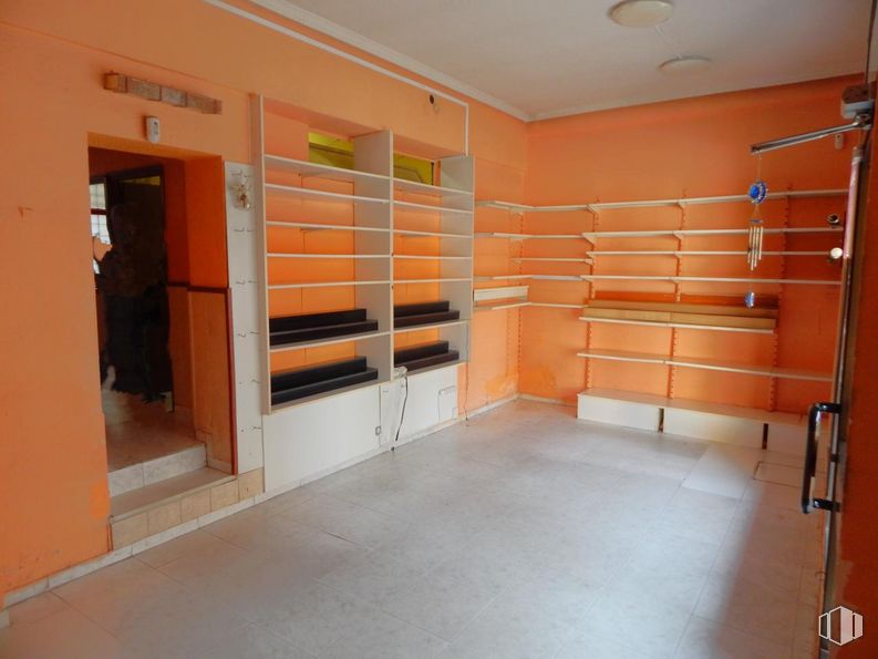


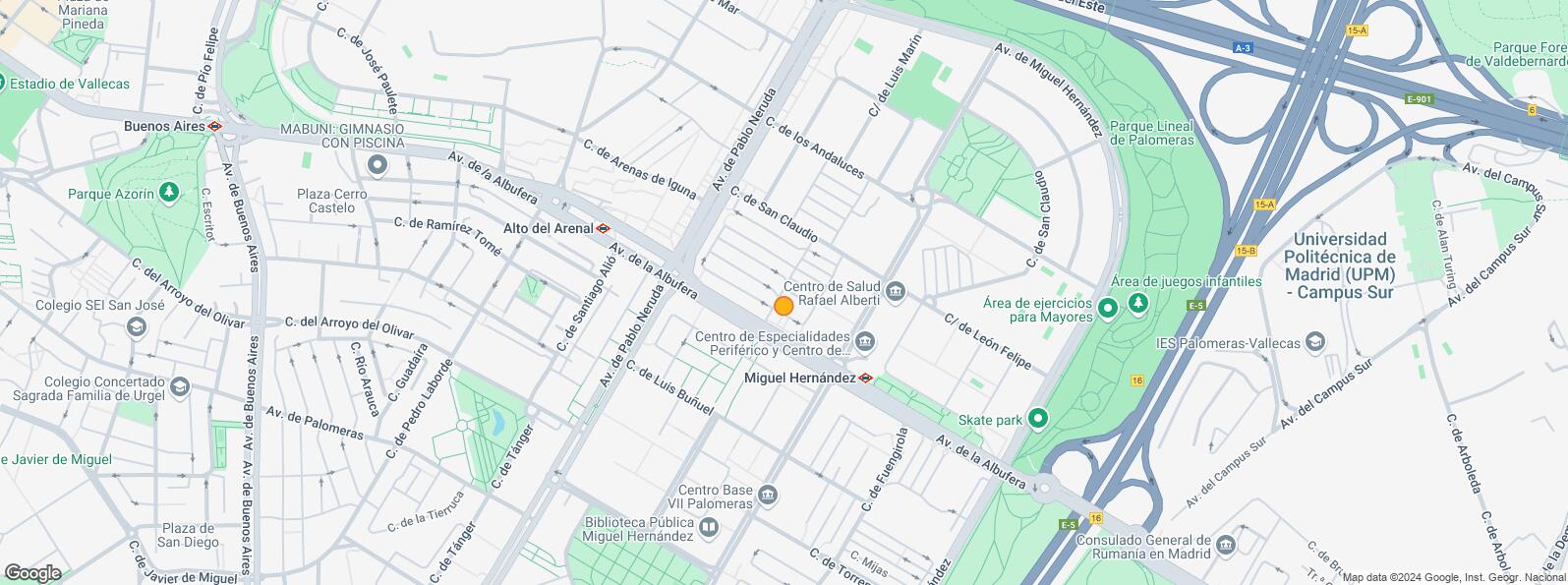
Commercial space located in the San Claudio area very close to the Miguel Hernández metro line 1, with all the services in the area, schools, health center, banks, library, shopping area, market, leisure, restaurants, supermarkets, parks, etc.
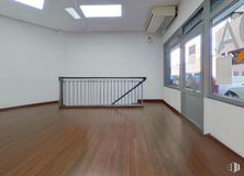
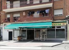
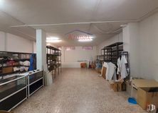
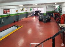
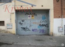
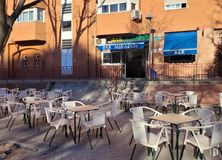
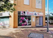
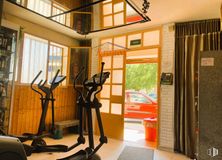
The premises have 46 m2 distributed on a ground floor with direct access at street level. Good state of conservation, very good corner with a lot of visibility, sunny facing south, it has 3 large windows, metal closure and bathroom. Possibility to convert into housing.
| Floor | Use | m2 | € | €/m2 | Space layout | Availability |
|---|---|---|---|---|---|---|
| Ground | Retail | 46 | 74,000 | 1,609 | Partitioned | Available now |
| Bus | Line | Distance |
|---|---|---|
| Andaluces-Av.Rafael Alberti | 54, 144, N10 | 147 m |
| Rafael Alberti-San Claudio | 54, 144, N10 | 164 m |
| Av.Pablo Neruda-Av.Albufera | 142 | 205 m |
| Andaluces-Av.Pablo Neruda | 54, 144 | 206 m |
| Underground | Line | Distance |
|---|---|---|
| Miguel Hernández | 1 | 344 m |
| Alto del Arenal | 1 | 385 m |
| Commuter train | Line | Distance |
|---|---|---|
| Vallecas | C1, C2, C7 | 2 km |
| El Pozo | C1, C2, C7 | 2 km |
| Asamblea de Madrid-Entrevías | C1, C2, C7 | 2 km |
| Santa Eugenia | C1, C2, C7 | 3 km |
| Transport Node | Distance |
|---|---|
| Área Intermodal de Conde de Casal | 3 km |
| Estación de Atocha Renfe | 5 km |
| Aeropuerto Adolfo Suárez-Madrid Barajas | 10 km |
| Estación de Madrid-Chamartín | 10 km |
| Taxi | Stop | Distance |
|---|---|---|
| Calle de San Claudio, 154 | 13.16 | 191 m |
| Commercial areas | Distance |
|---|---|
| Alcampo Vallecas | 1 km |
| C.C. Albufera | 1 km |
| Mercado Municipal de Numancia | 2 km |
| Mercado Municipal de Moratalaz | 2 km |
| Public Administration | Distance |
|---|---|
| Junta Municipal de Distrito. Moratalaz | 1 km |
| Oficinas de empleo de Moratalaz | 1 km |
| INSS - Centros Urbanos - Nº 3 | 1 km |
| Administración de la Agencia Tributaria Vinateros | 3 km |
| Ayuntamiento de Madrid | 5 km |
| Health | Distance |
|---|---|
| Centro de Salud Rafael Alberti | 170 m |
| C.E. Federica Montseny | 270 m |
| Protection and security | Distance |
|---|---|
| Comisaría - Madrid - Moratalaz | 730 m |
| Policía Municipal (OAC) Moratalaz | 1 km |
| Parque de Bomberos de Madrid Nº 8. Puente de Vallecas | 1 km |
| I.Armas y Explosivos - Madrid | 2 km |
| Base de socorro de la Cruz Roja de Madrid. Avda. Moratalaz 50-52 | 2 km |
| Other points of interest | Distance |
|---|---|
| Farmacia Calle de San Claudio 48, Madrid | 71 m |
| Farmacia Calle de San Claudio 53, Madrid | 103 m |
| Parking público. Metro de Madrid Miguel Hernández | 355 m |
| Gasolinera Avenida Albufera, 319 | 907 m |
| Parque Cerro del Tío Pío | 1 km |
| Parque Palomeras Bajas | 2 km |
Puente de Vallecas


