
25 m2
| Floor Ground
10,000 €
| 400 €/m2
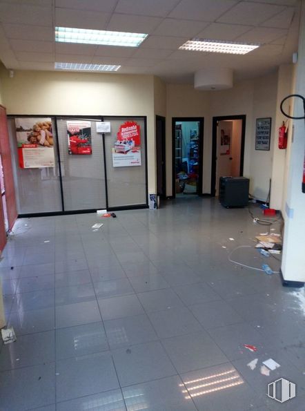
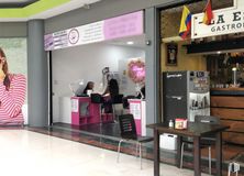
Property conditioned as a commercial space but given its characteristics it can be conditioned as an office.
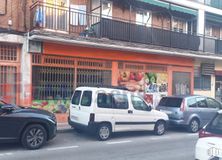
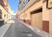
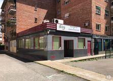
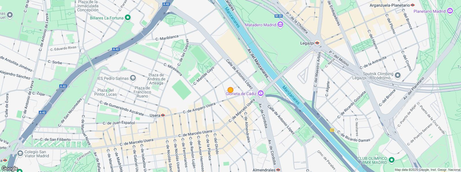
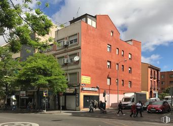
It is located on the ground floor of a residential building, in the Usera neighborhood, a short distance from several bus stops and the metro station (line 6).
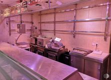
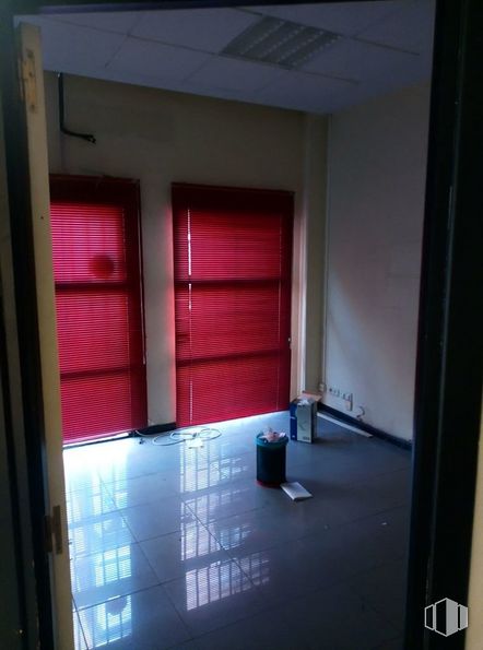
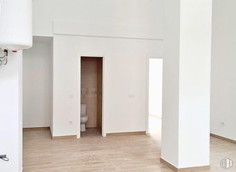
It has an area of 63 m2 distributed in an open area for public service, an office, warehouse or archive and a toilet. It has a false ceiling with built-in lighting, tile floors and large windows that provide visibility and natural light.
| Floor | Use | m2 | € | €/m2 | Space layout | Availability |
|---|---|---|---|---|---|---|
| Ground | Retail | 63 | 135,000 | 2,143 | Partitioned | Available now |
| Bus | Line | Distance |
|---|---|---|
| San Antonio Padua-A.Salvador | 6, 78 | 66 m |
| Marcelo Usera-Olvido | 47, 247, N15 | 78 m |
| Marcelo Usera-Almendrales | 47, 247 | 163 m |
| Marcelo Usera-Gta. de Cadiz | 6, 47, 78, 247 | 264 m |
| Underground | Line | Distance |
|---|---|---|
| Usera | 6 | 284 m |
| Almendrales | 3 | 456 m |
| Legazpi | 3, 6 | 746 m |
| Interurban bus | Line | Distance |
|---|---|---|
| Valdemoro - Av. Cordoba - Gta. Cadiz | 422, 424, N401 | 281 m |
| Commuter train | Line | Distance |
|---|---|---|
| Doce de Octubre | C5 | 897 m |
| Delicias | C1, C7, C10 | 2 km |
| Pirámides | C1, C7, C10 | 2 km |
| Embajadores | C5 | 2 km |
| Transport Node | Distance |
|---|---|
| Área Intermodal de Legazpi | 745 m |
| Estación de Atocha Renfe | 2 km |
| Estación de Madrid-Chamartín | 10 km |
| Aeropuerto Adolfo Suárez-Madrid Barajas | 14 km |
| Taxi | Stop | Distance |
|---|---|---|
| Calle de Antonio Lopez, 174 | 12.05 | 282 m |
| Commercial areas | Distance |
|---|---|
| Mercado Municipal de Jesús del Gran Poder | 116 m |
| Mercado Municipal de Usera | 324 m |
| C.C. Plaza Río 2 | 432 m |
| Alcampo Madrid Río | 449 m |
| Hotels | Distance |
|---|---|
| Hotel Isis ** | 269 m |
| Hotel Praga **** | 941 m |
| Rafael Hoteles Atocha **** | 2 km |
| Public Administration | Distance |
|---|---|
| Administración de la Agencia Tributaria Villaverde-Usera | 219 m |
| Junta Municipal de Distrito. Arganzuela | 749 m |
| Consejería de Economía, Empleo y Hacienda | 2 km |
| Oficinas de empleo de San Isidro | 2 km |
| Ayuntamiento de Madrid | 4 km |
| Health | Distance |
|---|---|
| Centro de Salud Las Calesas | 449 m |
| Hospital Universitario 12 de Octubre | 1 km |
| Protection and security | Distance |
|---|---|
| Parque de Bomberos de Madrid Nº 5. Usera | 667 m |
| Comisaría tramitación de DNI y pasaporte - Madrid - Usera - Villaverde 2 | 913 m |
| Policía Municipal (OAC) Arganzuela | 1 km |
| SEPRONA/I.C.A.E./Zona de Madrid | 2 km |
| Centro de Inserción Social Victoria Kent | 2 km |
| Other points of interest | Distance |
|---|---|
| Farmacia Calle de Marcelo Usera 36, Madrid | 43 m |
| Farmacia Calle de Jesús del Gran Poder 11, Madrid | 161 m |
| Parking mixto. Calle Ortiz Campos | 453 m |
| Gasolinera Calle Mirasierra, s/n | 477 m |
| Invernadero del Palacio de Cristal de la Arganzuela | 731 m |
| Parque de Pradolongo | 1 km |

Usera