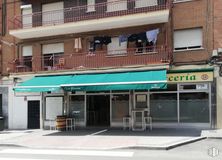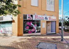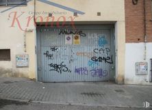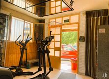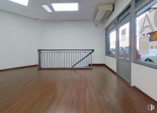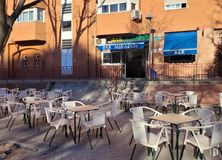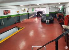

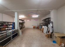
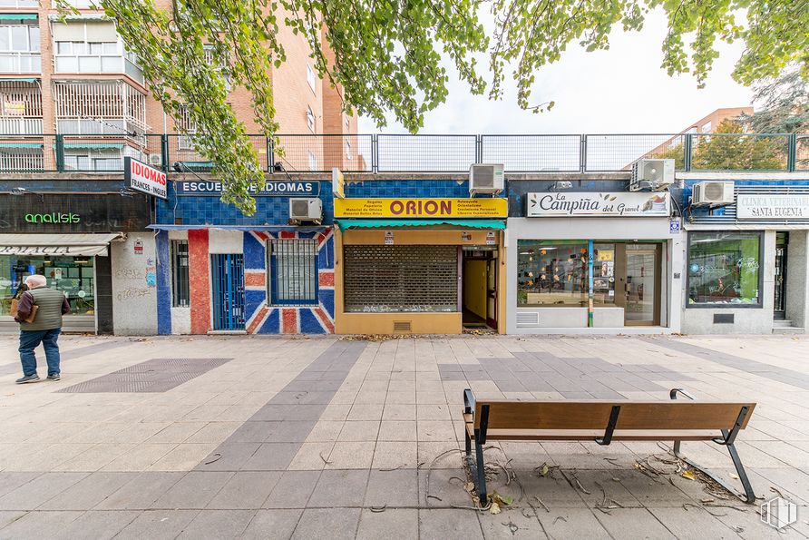


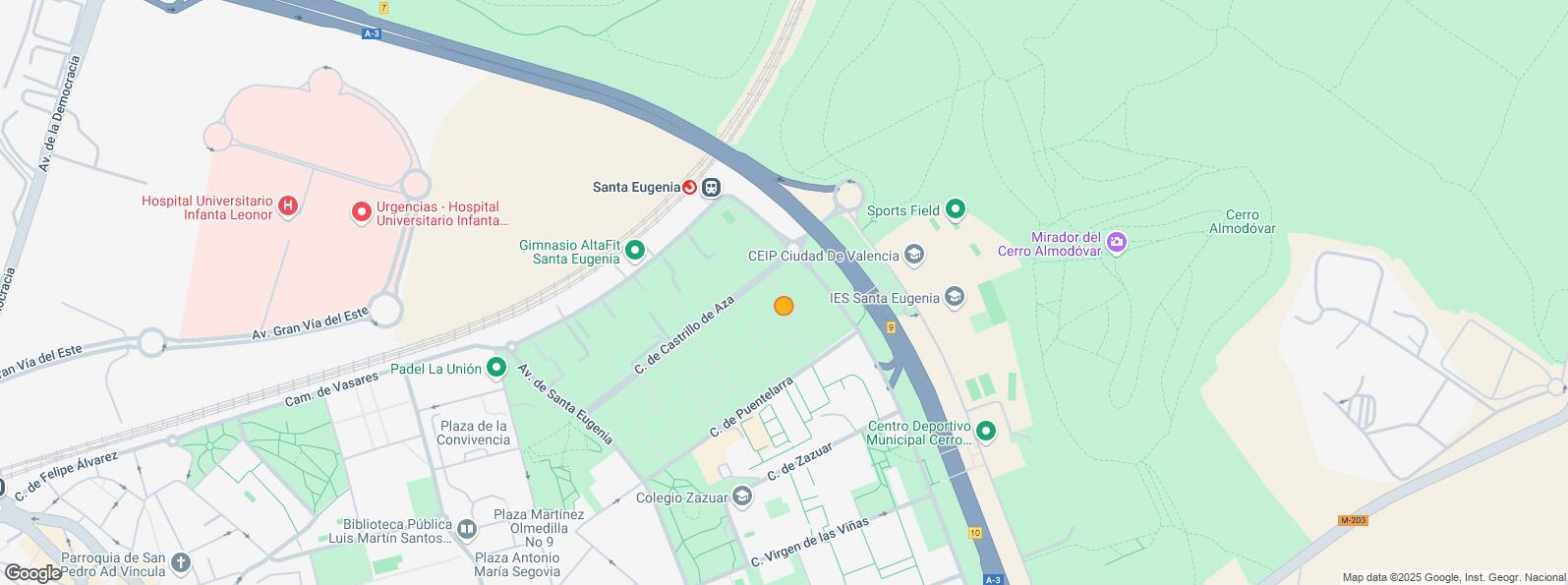
Fantastic place in Santa Eugenia.
It is located in a busy area, next to pharmacies, opticians, bars and close to the shopping gallery.
His last activity was bookstore.
The premises are distributed over two spacious and open levels of more or less the same size (street floor and basement), it has a large window and security locks.
It has air conditioning with heat pump.
Ideal for commerce, academia, office, etc.
Santa Eugenia is a neighborhood that belongs to the district of Villa de Vallecas located 9 km from the center of Madrid. It began as a residential area and is now equipped with all the services: pharmacies, market, schools, institute, health center, shops, bars and restaurants.
| Floor | Use | m2 | € | €/m2 | Space layout | Availability |
|---|---|---|---|---|---|---|
| Ground | Retail | 84 | 105,000 | 1,250 | Partitioned | Available now |
| Bus | Line | Distance |
|---|---|---|
| Av.Sta.Eugenia-Puentelarra | 58 | 184 m |
| Av.Mediterraneo-Puentelarra | 63, 145, N9 | 186 m |
| Castrillo de Aza | 63, N9 | 216 m |
| Av.Sta.Eugenia-Castrillo Aza | 63, 145, N9 | 257 m |
| Interurban bus | Line | Distance |
|---|---|---|
| Madrid - Av. Mediterráneo - Santa Eugenia | 312, 313, 326, 331, 332, 333, 334, 336, 337, 339, 339, 341, 351, 352, 353, 312A, N301, N302, N303 | 267 m |
| Rivas - Vaciamadrid - Av. Mediterráneo - Santa Eugen | 331, 332, 333, 334, N302 | 337 m |
| Commuter train | Line | Distance |
|---|---|---|
| Santa Eugenia | C1, C2, C7 | 416 m |
| Vallecas | C1, C2, C7 | 1 km |
| Vicálvaro | C1, C2, C7 | 2 km |
| Transport Node | Distance |
|---|---|
| Área Intermodal de Alsacia | 4 km |
| Estación de Atocha Renfe | 8 km |
| Aeropuerto Adolfo Suárez-Madrid Barajas | 9 km |
| Estación de Madrid-Chamartín | 12 km |
| Taxi | Stop | Distance |
|---|---|---|
| Calle de Poza de la Sal, S/N | 18.10 | 296 m |
| Commercial areas | Distance |
|---|---|
| Mercado Municipal de Santa Eugenia | 249 m |
| Mercado Municipal de Villa de Vallecas | 1 km |
| Carrefour La Gavia | 2 km |
| C.C. Valdebernardo | 2 km |
| Public Administration | Distance |
|---|---|
| Administración de la Agencia Tributaria Villa Vallecas | 66 m |
| Oficinas de empleo de Santa Eugenia | 519 m |
| Junta Municipal de Distrito. Villa de Vallecas | 1 km |
| Ayuntamiento de Coslada | 6 km |
| Health | Distance |
|---|---|
| Centro de Salud Cerro Almodovar | 438 m |
| Hospital Universitario Infanta Leonor | 956 m |
| Protection and security | Distance |
|---|---|
| Policía Municipal (OAC) Villa de Vallecas | 785 m |
| Base de socorro de la Cruz Roja de Madrid. Avda. Moratalaz 50-52 | 5 km |
| Other points of interest | Distance |
|---|---|
| Farmacia Calle de Puentelarra 5, Madrid | 30 m |
| Farmacia Calle de Castrillo de Aza 9, Madrid | 159 m |
| Gasolinera Avenida Ensanche de Vallecas, 2 | 840 m |
Villa de Vallecas


