The content of this page has been verified by the Belbex Research team – CoStar Group
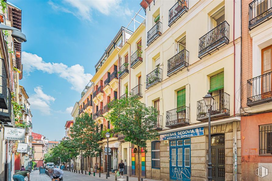
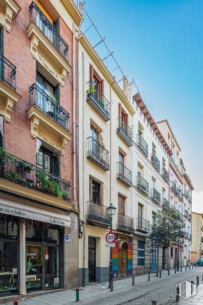
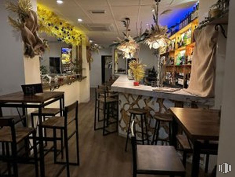
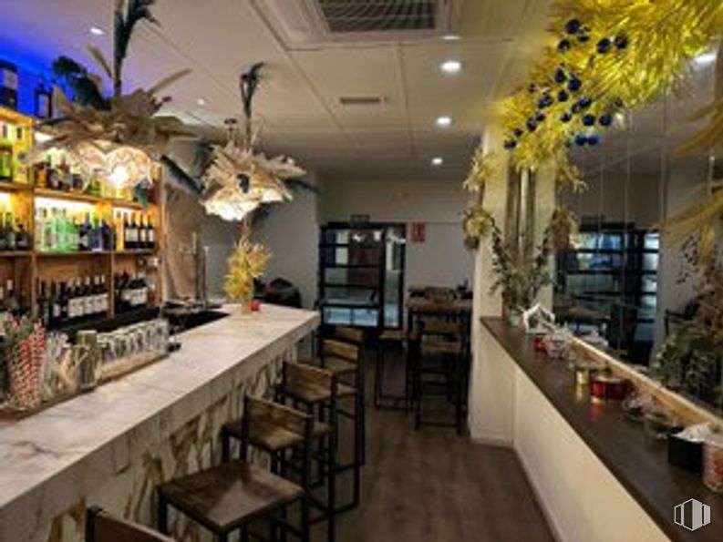
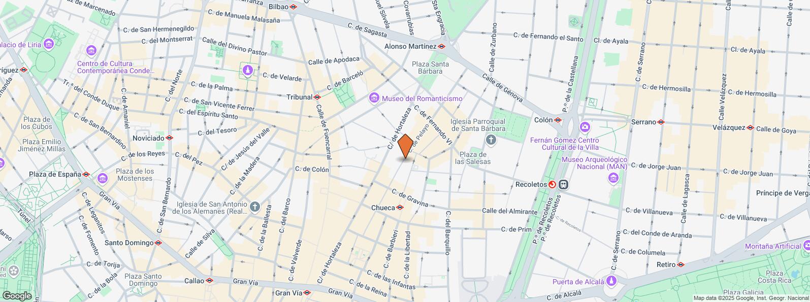
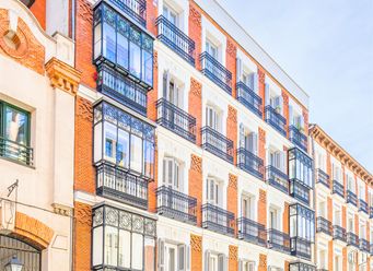
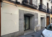
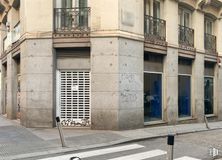
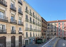
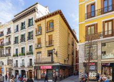
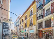
A bar located in the Chueca area, next to Pelayo Street, is transferred. It is located in an unbeatable location with all kinds of shops, businesses and high pedestrian traffic.
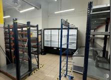
The premises have a total area of 70 m2 distributed on the street level. It has a definitive license for a bar with a smoke outlet.
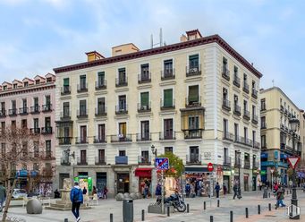
It is fully assembled and currently in full operation. Agency fees are requested, a monthly payment plus VAT charged to the new tenant.
Spaces
Floor
Use
m2
€/mo
€/m2/mo
Space layout
Availability
Ground
Retail
70
1,800
25.71
Open Plan
Available now
Last updated 1 month ago
Building info
Total Floor: 6Construction year: 1900
Amenities
Smoke extractor
On the street
Operating license
Natural lighting
Bus stop
Public Transportation
Location map
Map loading...
Contact
Transport
Bus
Line
Distance
Hortaleza-Gravina
3
111 m
Pza.Las Salesas
37
236 m
Mejia Lequerica-Hortaleza
37
249 m
Pza.De Santa Barbara
3
267 m
Underground
Line
Distance
Chueca
5
133 m
Tribunal
1, 10
364 m
Alonso Martínez
4, 5, 10
427 m
Colón
4
519 m
Commuter train
Line
Distance
Recoletos
C1, C2, C7, C8, C8a, C8b, C10
562 m
Sol
C3, C4
921 m
Príncipe Pío
C1, C7, C10
2 km
Atocha
C1, C2, C3, C4, C5, C7, C8, C8a, C8b, C10
2 km
Transport Node
Distance
Intercambiador de Puerta del Sol
925 m
Estación de Atocha Renfe
2 km
Estación de Madrid-Chamartín
5 km
Aeropuerto Adolfo Suárez-Madrid Barajas
11 km
Taxi
Stop
Distance
Calle de Fuencarral, 49
01.47
275 m
BiciMAD
Distance
Calle de Hortaleza, 63
80 m
Points of interest
Commercial areas
Distance
Mercado Municipal de San Antón
225 m
C.C. Fuencarral
289 m
Mercado Municipal de Barceló
342 m
C.C. El Jardín de Serrano
890 m
Hotels
Distance
Hotel Only You Boutique Hotel Madrid ****
245 m
Hotel Petit Palace Santa Bárbara ****
285 m
Hotel Orfila *****
514 m
Public Administration
Distance
Instituto Social de la Marina - Dirección Provincial y Oficina de Empleo Marítimo - Nº 16
410 m
Mº de Cultura y Deporte
434 m
Mº de Política Territorial y Función Pública
627 m
Ayuntamiento de Madrid
722 m
Junta Municipal de Distrito. Chamberí
1 km
Health
Distance
Centro de Salud Justicia
76 m
Hospital de Madrid
1 km
Protection and security
Distance
Compañía de Edificios Públicos de Madrid
635 m
Tramitación DNI y pasaporte - Madrid - Santa Engracia
663 m
Policía Municipal (OAC) Centro-Norte
746 m
Parque de Bomberos de Madrid Nº 6. Centro
824 m
SGPMA Madrid
3 km
Other points of interest
Distance
Farmacia Calle de Hortaleza 96, Madrid
74 m
Farmacia Calle de Hortaleza 66, Madrid
174 m
Parking mixto. Jardines del Arquitecto Ribera
352 m
Parking público. Pza. de Villa de París (Europarking)
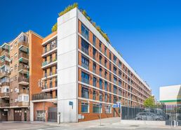
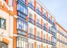
The historical, tourist area par excellence. The Centro District is one of the areas that cannot be missed in this city. Tradition in the streets and shops, it is the oldest part of Madrid and its main nucleus. The district covers an area of 523.73 hectares and is divided into 6 quarters: Palacio, Embajadores, Cortes, Justicia, Universidad and Sol. It is delimited by the first ring-road, Called the M-10, which features the following boulevards and thoroughfares: Ronda de Segovia, Ronda de Toledo, Ronda de Valencia and Ronda de Atocha. Visiting the Royal Palace, the Almudena Cathedral, strolling around Plaza Mayor or just losing yourself in the fashionable quarters are just some of the things to do in Madrid city centre.