
17,570 m2
| Property
Price upon request
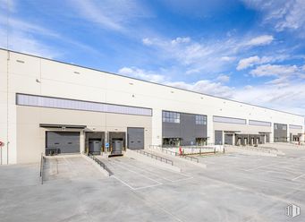
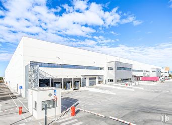
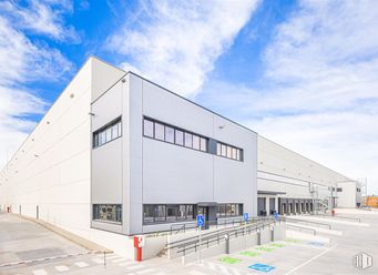
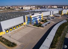
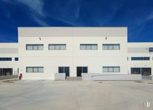
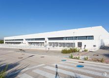
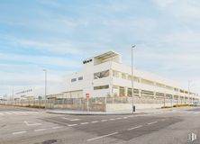
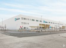
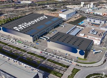
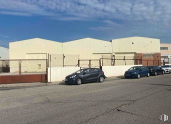
- Newly built logistics platform
- Unbeatable location
- Excellent communications
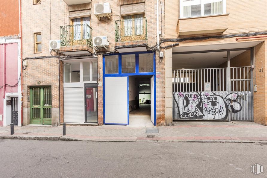
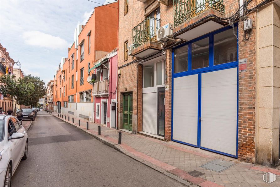
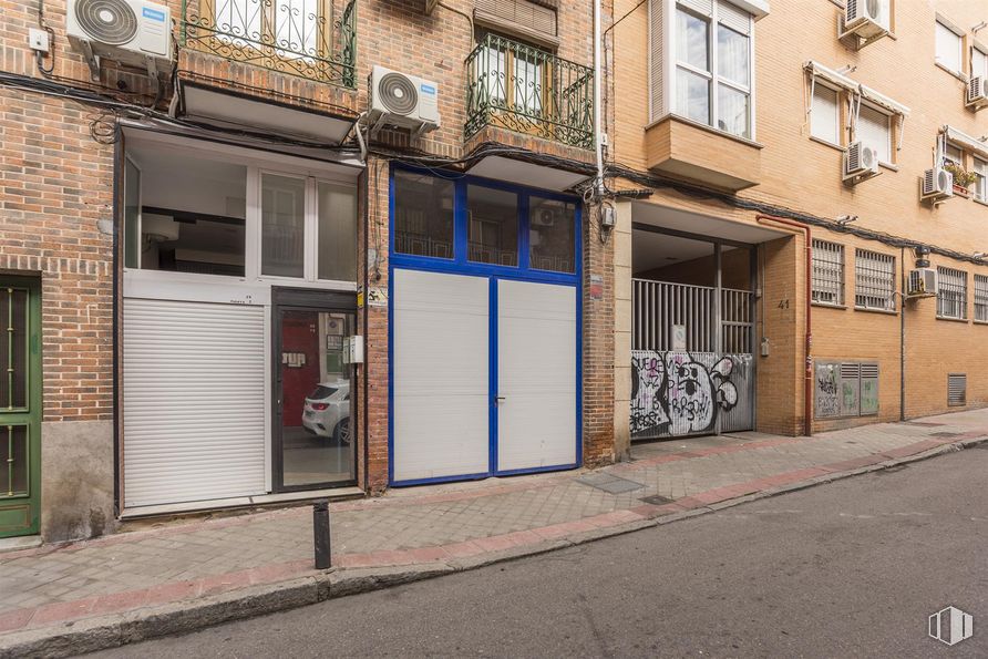
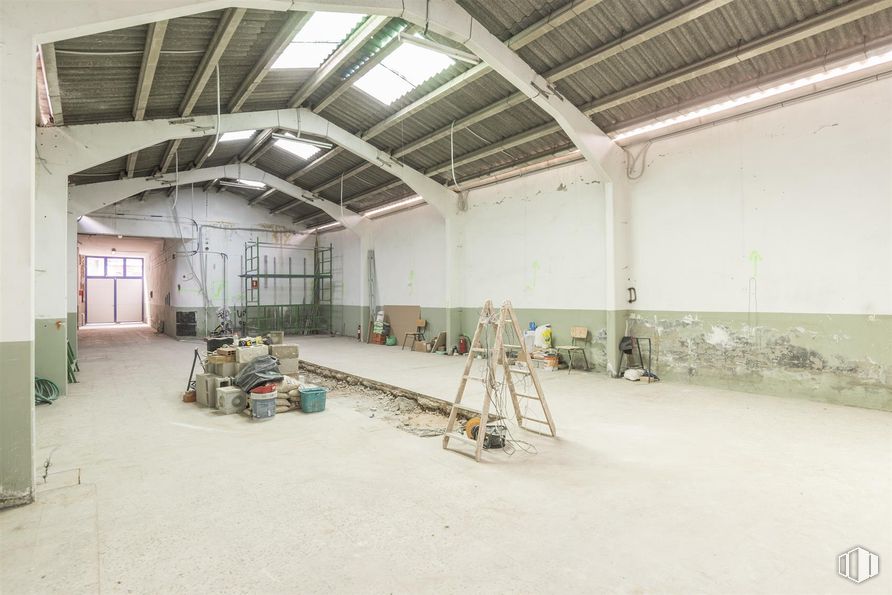
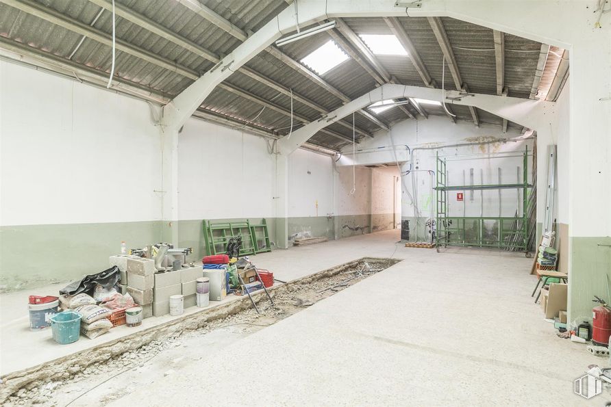
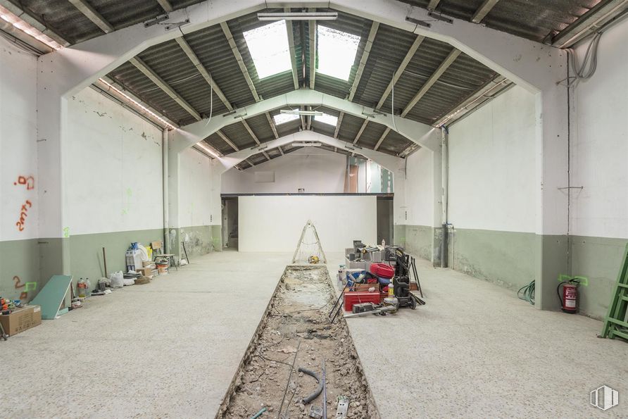
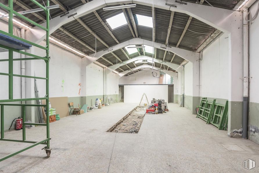
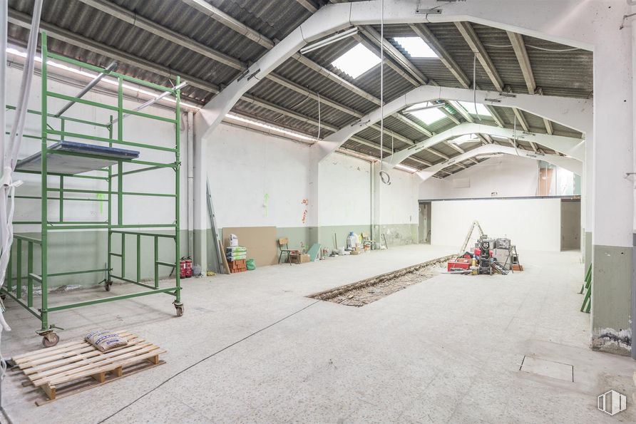
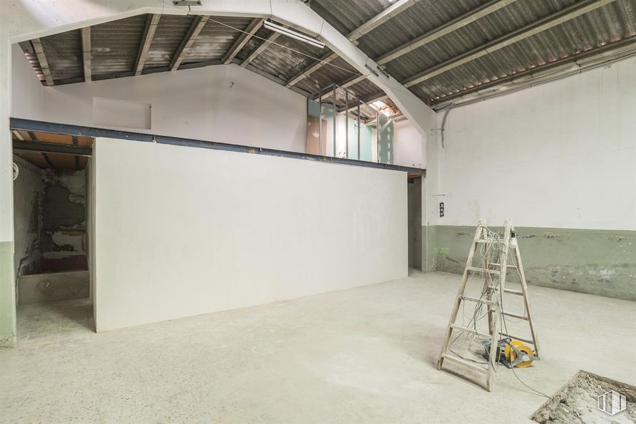
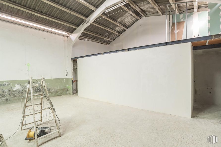
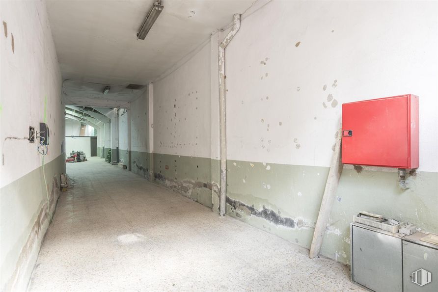
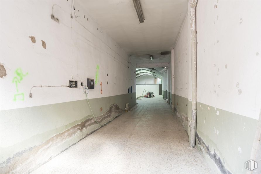
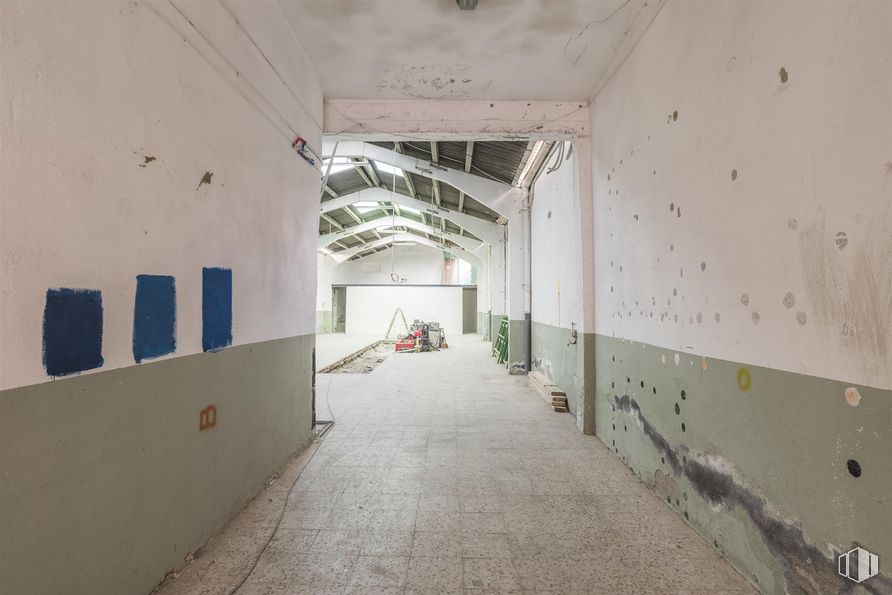
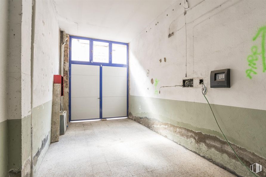
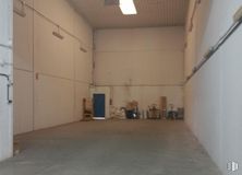
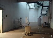
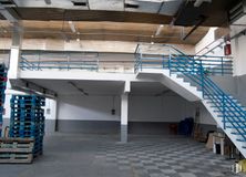
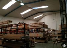
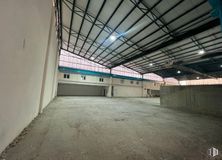
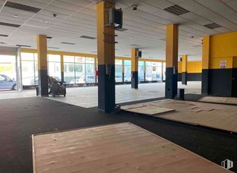
Warehouse in a strategic location, at street level, perfect for conditioning different projects.
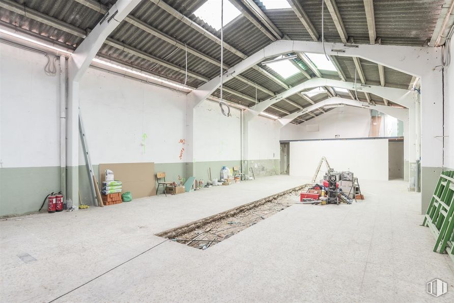
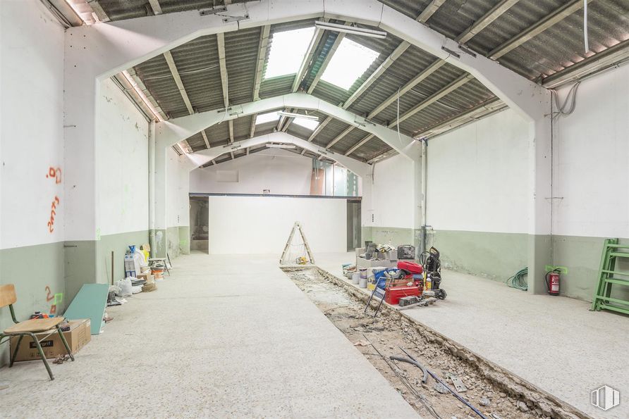
It has an area of 247 m2 distributed in a large open-plan layout, with a single floor and a main room, ideal for establishing a studio, workshop, warehouse or any type of business.
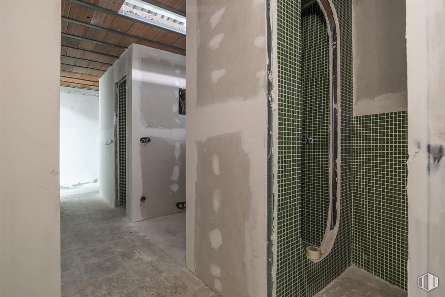
Built in 1982, it stands out for its abundant natural light, creating a welcoming and stimulating environment for any activity. In addition, the project already started allows you to customize and adapt the space.
| Floor | Use | m2 | €/mo | €/m2/mo | Space layout | Availability |
|---|---|---|---|---|---|---|
| Ground | Industrial | 247 | TBC | TBC | Open Plan | Available now |
| Bus | Line | Distance |
|---|---|---|
| Av.Albufera-Pto.Alcolea | 10, 24, 54, 57, 58, 111, 136, 310, N10, N25 | 137 m |
| Monte Igueldo-Maria Bosch | 10, 24, 111, 310 | 242 m |
| Mendivil-Doctor Salgado | 141 | 266 m |
| Av.Peña Prieta-Francisco Iglesias | 8, 113, 141 | 301 m |
| Underground | Line | Distance |
|---|---|---|
| Nueva Numancia | 1 | 213 m |
| Puente de Vallecas | 1 | 316 m |
| Portazgo | 1 | 766 m |
| Pacífico | 1, 6 | 914 m |
| Commuter train | Line | Distance |
|---|---|---|
| Méndez Alvaro | C1, C5, C7, C10 | 1 km |
| Asamblea de Madrid-Entrevías | C1, C2, C7 | 2 km |
| Delicias | C1, C7, C10 | 2 km |
| Atocha | C1, C2, C3, C4, C5, C7, C8, C8a, C8b, C10 | 2 km |
| Transport Node | Distance |
|---|---|
| Área Intermodal de Conde de Casal | 1 km |
| Estación de Atocha Renfe | 2 km |
| Estación de Madrid-Chamartín | 8 km |
| Aeropuerto Adolfo Suárez-Madrid Barajas | 11 km |
| Commercial areas | Distance |
|---|---|
| Mercado Municipal de Puente de Vallecas | 336 m |
| Mercado Municipal de Doña Carlota | 707 m |
| Hipercor Méndez Álvaro | 959 m |
| C.C. Méndez Álvaro - Tiendas El Corte Inglés | 974 m |
| Hotels | Distance |
|---|---|
| Hotel Ibis Budget Madrid 30 * | 478 m |
| Hotel Claridge **** | 1 km |
| Hotel Ayre Gran Hotel Colón **** | 2 km |
| Public Administration | Distance |
|---|---|
| Junta Municipal de Distrito. Puente de Vallecas | 143 m |
| Oficinas de empleo de Nueva Numancia | 579 m |
| Administración de Aduanas Madrid - Ferrocarril | 1 km |
| Oficinas de empleo de Atocha | 2 km |
| Ayuntamiento de Madrid | 3 km |
| Health | Distance |
|---|---|
| Centro de Salud Peña Prieta-Especialidades | 253 m |
| C.E. Peña Prieta - Hermanos Sangró | 295 m |
| Protection and security | Distance |
|---|---|
| I.Armas y Explosivos - Madrid | 497 m |
| Comisaría - Madrid - Puente de Vallecas | 589 m |
| Policía Municipal (OAC) Retiro | 1 km |
| Parque de Bomberos de Madrid Nº 8. Puente de Vallecas | 1 km |
| Base de socorro de la Cruz Roja de Madrid. Avda. Moratalaz 50-52 | 1 km |
| Other points of interest | Distance |
|---|---|
| Farmacia Calle de Sierra de los Filabres 26, Madrid | 103 m |
| Farmacia Calle de Francisco Iglesias 24, Madrid | 125 m |
| Gasolinera Avenida Albufera, 89 | 447 m |
| Parque Cerro del Tío Pío | 807 m |
| Parking mixto. Calle Fernández Shaw | 998 m |
| Parking mixto. Pza. del Conde de Casal | 998 m |
| Parque Palomeras Bajas | 1 km |

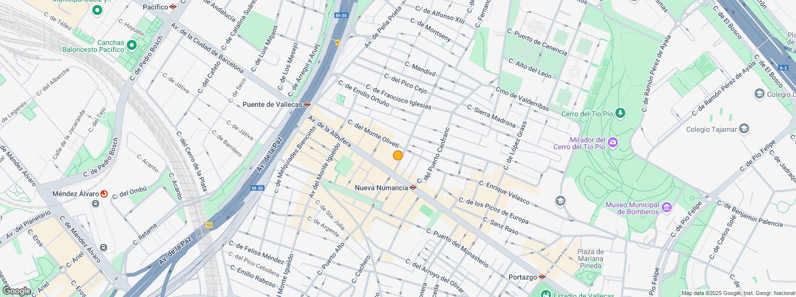
Puente de Vallecas