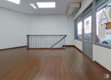

199 m2
| Floor Ground
300,000 €
| 1,508 €/m2
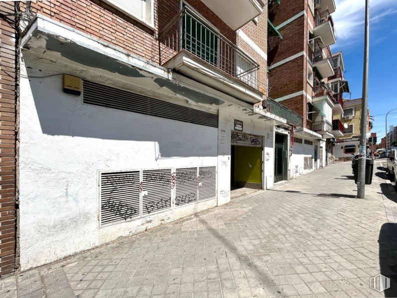
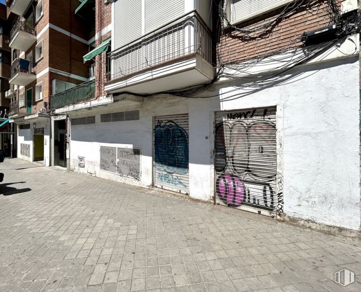
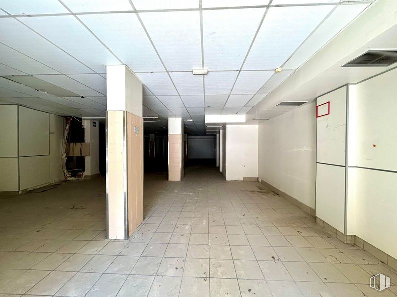
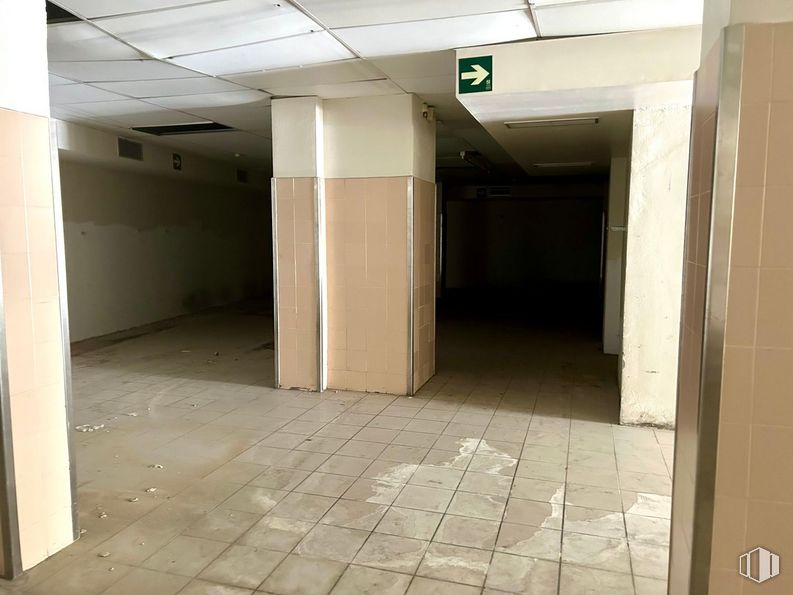
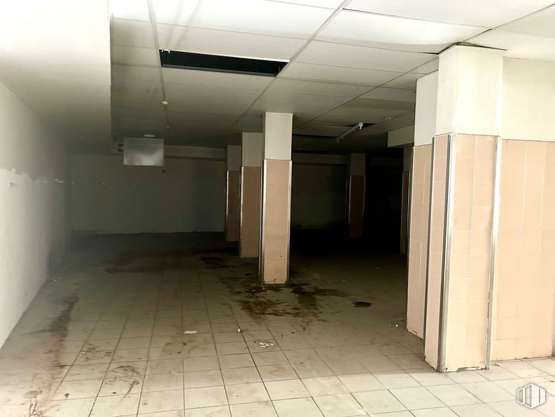
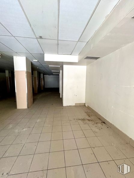
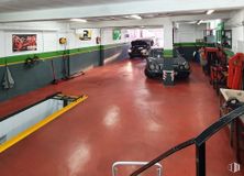
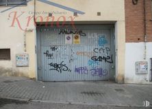
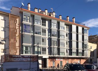
Sale of large commercial space of 587 m2 located in the Numancia neighborhood.
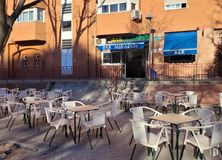
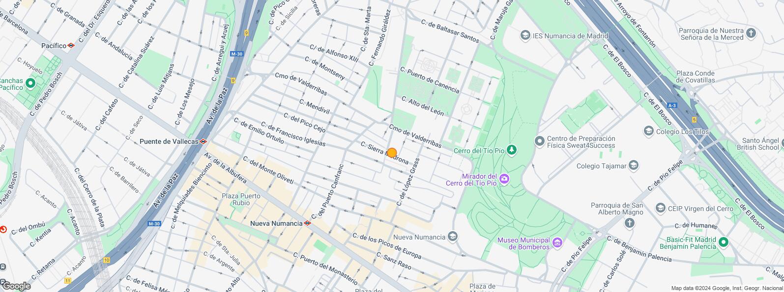
Location in a consolidated area of Puente de Vallecas next to Albufera Avenue and surrounded by multiple services and shops (bars and restaurants, pharmacy, supermarkets, etc.).
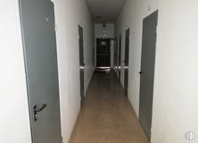
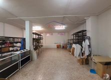
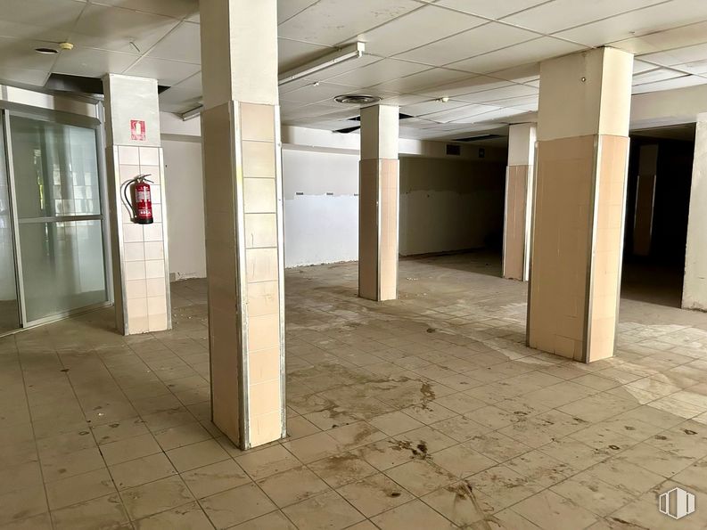
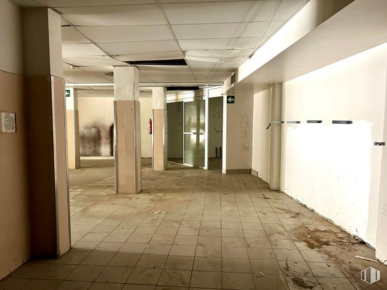
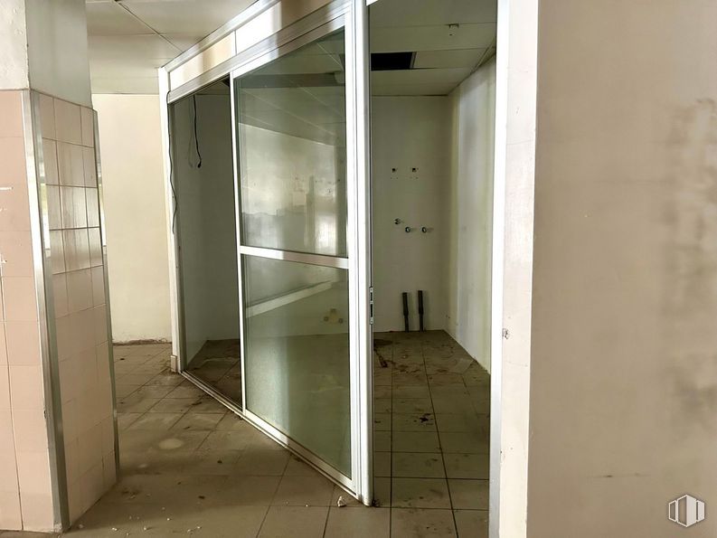
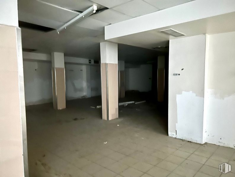
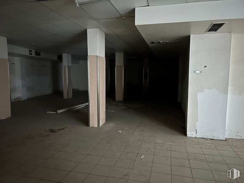
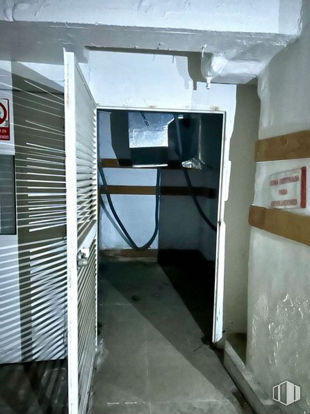
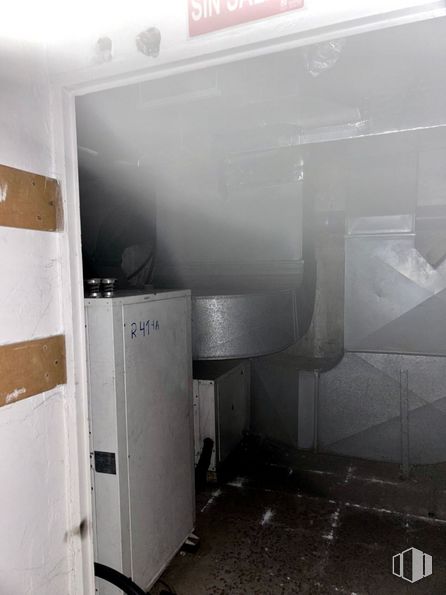
The store consists of three united stores, which once functioned as a supermarket and is distributed over two floors (street floor and basement). It is equipped with a smoke outlet, warehouse, toilets, tiled floor and concrete façade.
Good communication by public transport through several nearby bus stops and the Nueva Numancia station.
| Floor | Use | m2 | € | €/m2 | Space layout | Availability |
|---|---|---|---|---|---|---|
| Ground | Retail | 587 | 528,000 | 899 | Partitioned | Available now |
| Bus | Line | Distance |
|---|---|---|
| Av.Albufera-Sierra Carbonera | 54, 57, 58, 136, N10, N25 | 252 m |
| Av.Albufera-Sierra del Cadi | 54, 58, 136, N10, N25 | 267 m |
| Sierra del Cadi-Av.Albufera | 57, N10 | 337 m |
| Sierra Toledana-Cº Valderribas | 141 | 374 m |
| Underground | Line | Distance |
|---|---|---|
| Nueva Numancia | 1 | 304 m |
| Portazgo | 1 | 436 m |
| Puente de Vallecas | 1 | 715 m |
| Buenos Aires | 1 | 894 m |
| Commuter train | Line | Distance |
|---|---|---|
| Méndez Alvaro | C1, C5, C7, C10 | 1 km |
| Asamblea de Madrid-Entrevías | C1, C2, C7 | 2 km |
| El Pozo | C1, C2, C7 | 2 km |
| Delicias | C1, C7, C10 | 3 km |
| Transport Node | Distance |
|---|---|
| Área Intermodal de Conde de Casal | 1 km |
| Estación de Atocha Renfe | 3 km |
| Estación de Madrid-Chamartín | 9 km |
| Aeropuerto Adolfo Suárez-Madrid Barajas | 10 km |
| Taxi | Stop | Distance |
|---|---|---|
| Calle de la Sierra de Cadi, 3 | 13.15 | 365 m |
| Commercial areas | Distance |
|---|---|
| Mercado Municipal de Numancia | 408 m |
| Mercado Municipal de Puente de Vallecas | 616 m |
| C.C. Albufera | 635 m |
| Alcampo Vallecas | 655 m |
| Hotels | Distance |
|---|---|
| Hotel Ibis Budget Madrid 30 * | 833 m |
| Hotel Claridge **** | 1 km |
| Hotel Ayre Gran Hotel Colón **** | 2 km |
| Public Administration | Distance |
|---|---|
| Junta Municipal de Distrito. Puente de Vallecas | 477 m |
| Oficinas de empleo de Nueva Numancia | 707 m |
| Administración de Aduanas Madrid - Ferrocarril | 1 km |
| Asamblea de Madrid | 2 km |
| Ayuntamiento de Madrid | 4 km |
| Health | Distance |
|---|---|
| Centro de Salud Martínez de la Riva | 634 m |
| C.E. Peña Prieta - Hermanos Sangró | 694 m |
| Protection and security | Distance |
|---|---|
| I.Armas y Explosivos - Madrid | 162 m |
| Comisaría - Madrid - Puente de Vallecas | 398 m |
| Parque de Bomberos de Madrid Nº 8. Puente de Vallecas | 674 m |
| Policía Municipal (OAC) Puente de Vallecas | 1 km |
| Base de socorro de la Cruz Roja de Madrid. Avda. Moratalaz 50-52 | 1 km |
| Other points of interest | Distance |
|---|---|
| Farmacia Calle de Almonacid 38, Madrid | 85 m |
| Farmacia Calle de Enrique Velasco 14, Madrid | 105 m |
| Gasolinera Avenida Albufera, 89 | 206 m |
| Parque Cerro del Tío Pío | 419 m |
| Parque Palomeras Bajas | 1 km |
| Parking mixto. Pza. del Conde de Casal | 1 km |
| Parking mixto. Calle Fernández Shaw | 1 km |

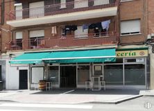
Puente de Vallecas