
658 m2
| Floor Ground
480,000 €
| 729 €/m2
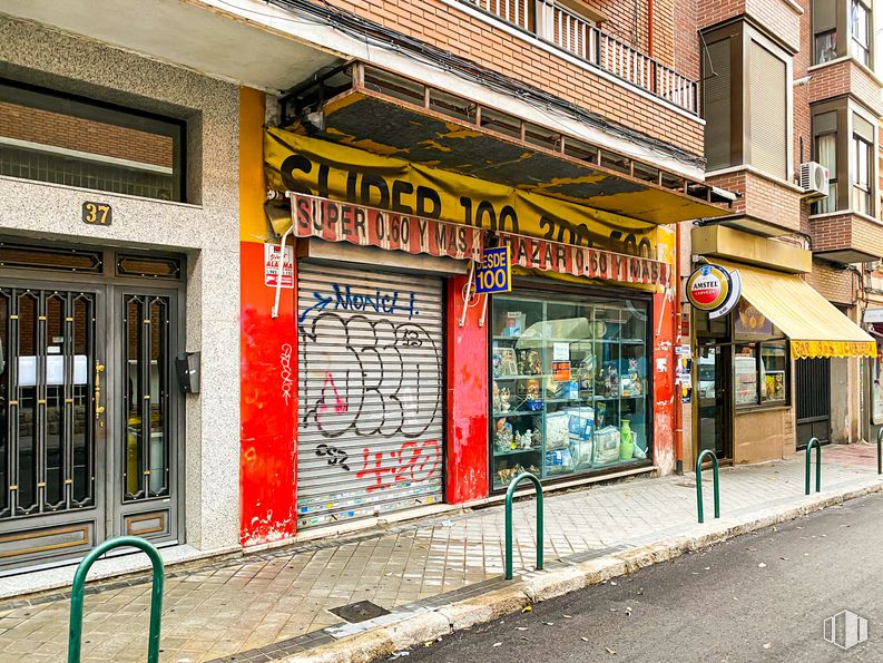


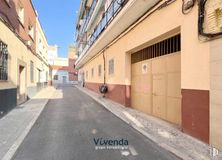
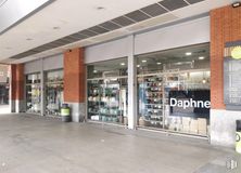
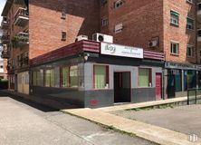
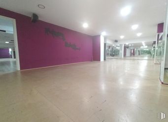
Commercial space at street level, bright and visible.
It has a large front window, metal security lock, toilet and tile and cement floor.
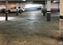
It has 290 m2 distributed on the ground floor and basement of 145 m2 each.
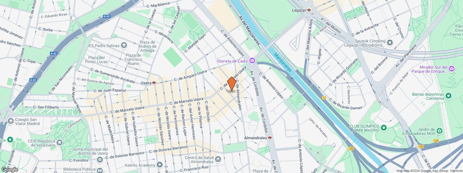
It is located in a consolidated and busy area of Madrid, in the Usera district.
In its immediate vicinity there is a wide range of trade and services.
It has good communications, with several bus stops nearby and a comfortable exit to the M-30.
| Floor | Use | m2 | € | €/m2 | Space layout | Availability |
|---|---|---|---|---|---|---|
| Ground | Retail | 290 | 211,000 | 728 | Partitioned | Available now |
| Bus | Line | Distance |
|---|---|---|
| San Antonio Padua-A.Salvador | 6, 78 | 83 m |
| Marcelo Usera-Almendrales | 47, 247 | 98 m |
| Santuario-San Antonio Padua | 6, 78 | 169 m |
| Avda. Cordoba-Gta.Cadiz | 18, 22, 59, 76, 79, 85, 86, N13, N14 | 174 m |
| Underground | Line | Distance |
|---|---|---|
| Almendrales | 3 | 338 m |
| Usera | 6 | 416 m |
| Legazpi | 3, 6 | 675 m |
| Interurban bus | Line | Distance |
|---|---|---|
| Valdemoro - Av. Cordoba - Gta. Cadiz | 422, 424, N401 | 171 m |
| Commuter train | Line | Distance |
|---|---|---|
| Doce de Octubre | C5 | 831 m |
| Delicias | C1, C7, C10 | 2 km |
| Pirámides | C1, C7, C10 | 2 km |
| Embajadores | C5 | 2 km |
| Transport Node | Distance |
|---|---|
| Área Intermodal de Legazpi | 664 m |
| Estación de Atocha Renfe | 2 km |
| Estación de Madrid-Chamartín | 10 km |
| Aeropuerto Adolfo Suárez-Madrid Barajas | 14 km |
| Taxi | Stop | Distance |
|---|---|---|
| Calle de Antonio Lopez, 174 | 12.05 | 232 m |
| Commercial areas | Distance |
|---|---|
| Mercado Municipal de Jesús del Gran Poder | 21 m |
| Mercado Municipal de Usera | 458 m |
| C.C. Plaza Río 2 | 470 m |
| Alcampo Madrid Río | 478 m |
| Hotels | Distance |
|---|---|
| Hotel Isis ** | 246 m |
| Hotel Praga **** | 1 km |
| Rafael Hoteles Atocha **** | 2 km |
| Public Administration | Distance |
|---|---|
| Oficinas de empleo de Usera | 138 m |
| Junta Municipal de Distrito. Arganzuela | 743 m |
| Consejería de Economía, Empleo y Hacienda | 2 km |
| Oficinas de empleo de Legazpi | 2 km |
| Ayuntamiento de Madrid | 4 km |
| Health | Distance |
|---|---|
| Centro de Salud Almendrales | 470 m |
| Hospital Universitario 12 de Octubre | 1 km |
| Protection and security | Distance |
|---|---|
| Parque de Bomberos de Madrid Nº 5. Usera | 770 m |
| Comisaría tramitación de DNI y pasaporte - Madrid - Usera - Villaverde 2 | 979 m |
| Policía Municipal (OAC) Arganzuela | 1 km |
| Centro de Inserción Social Victoria Kent | 1 km |
| SEPRONA/I.C.A.E./Zona de Madrid | 2 km |
| Other points of interest | Distance |
|---|---|
| Farmacia Calle de Almendrales 24, Madrid | 93 m |
| Farmacia Calle de Marcelo Usera 36, Madrid | 100 m |
| Parking mixto. Calle Ortiz Campos | 566 m |
| Gasolinera Calle Antonio López, 244 | 581 m |
| Invernadero del Palacio de Cristal de la Arganzuela | 727 m |
| Parque de Pradolongo | 1 km |
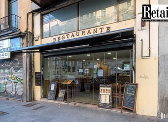

Usera


