
178 m2
| Floor Ground
230,000 €
| 1,292 €/m2
Reference: 171437
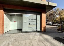
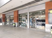
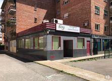
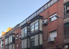
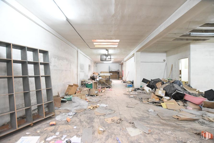
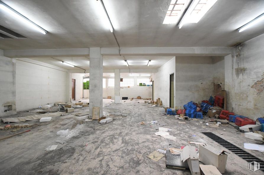
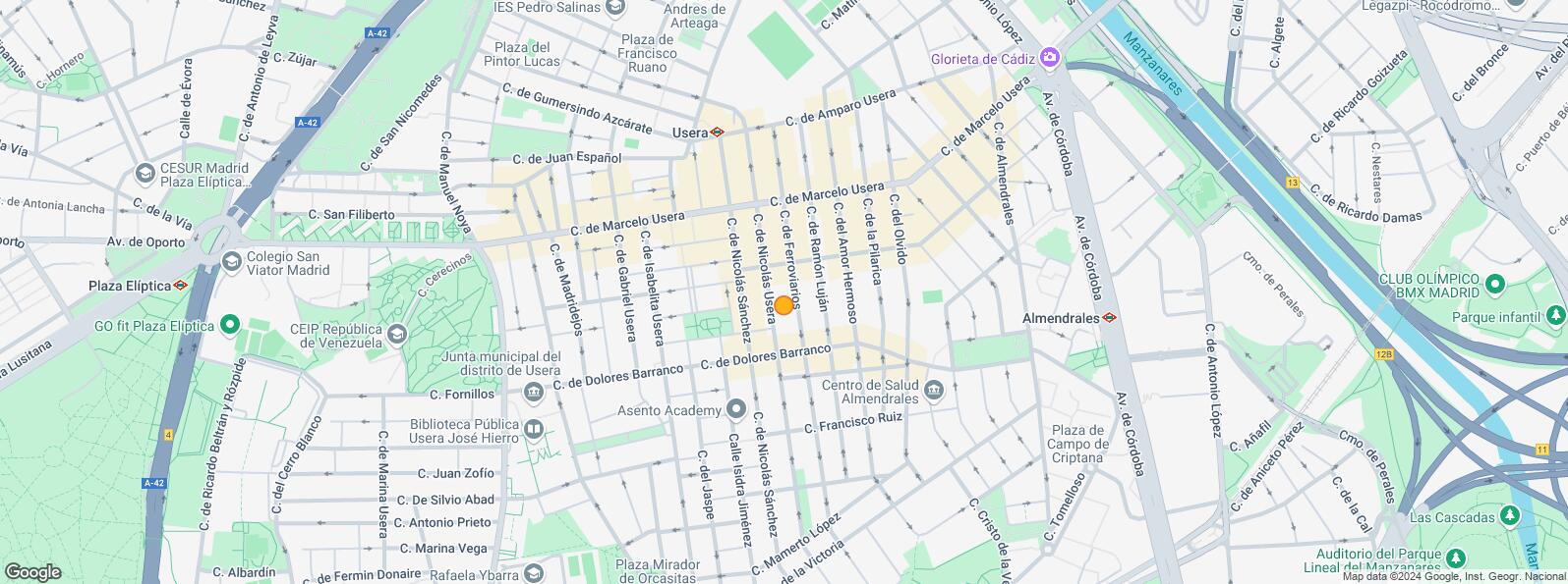
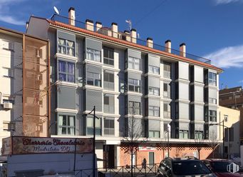
Local on Calle Ferroviarios, in Madrid, located in the district of Usera.
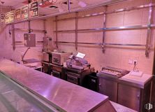
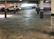
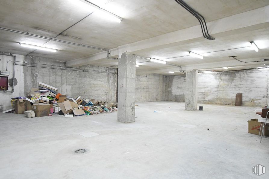
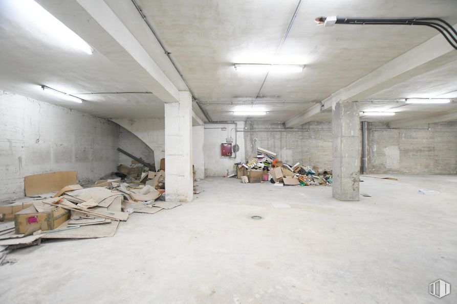
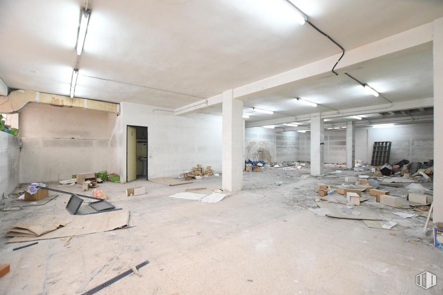
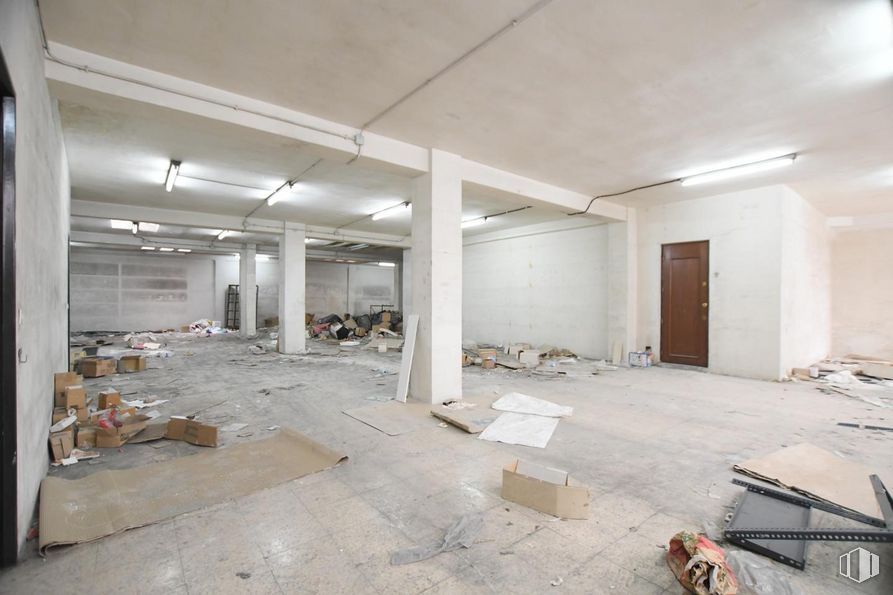
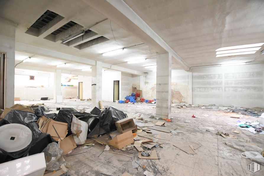
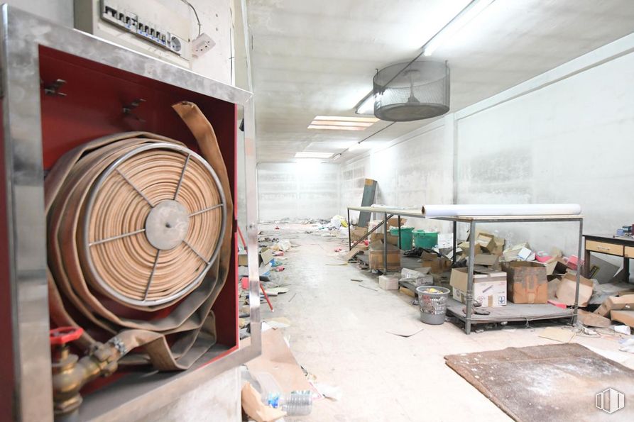
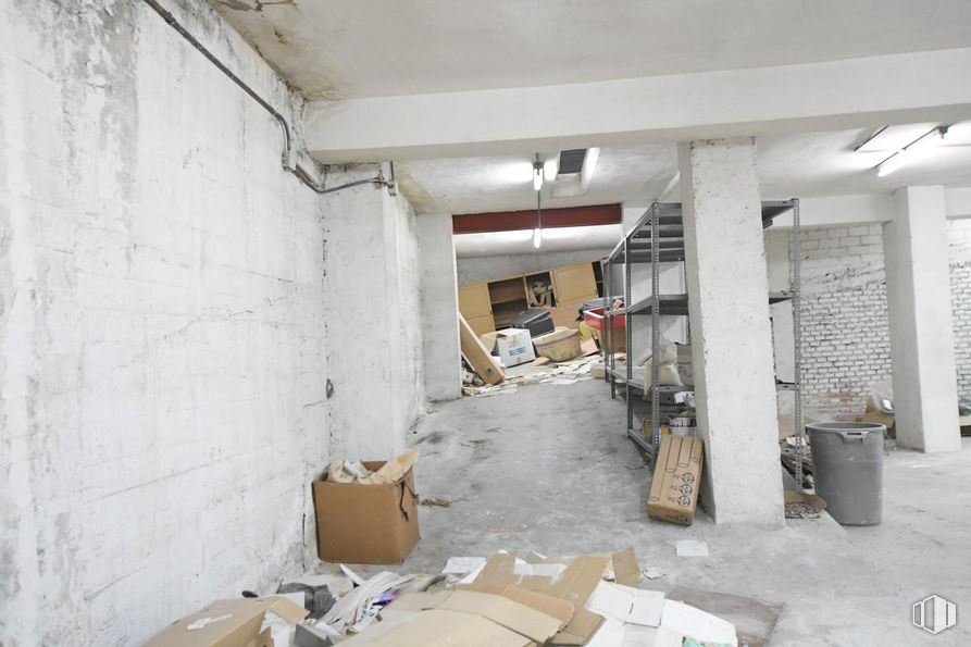
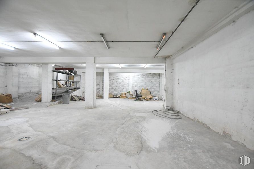
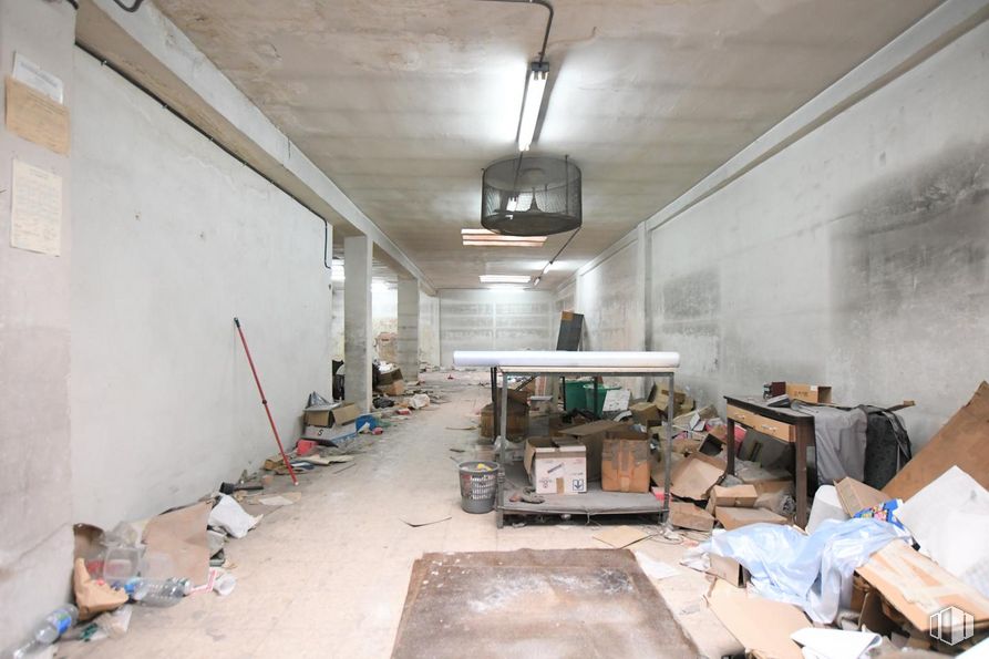
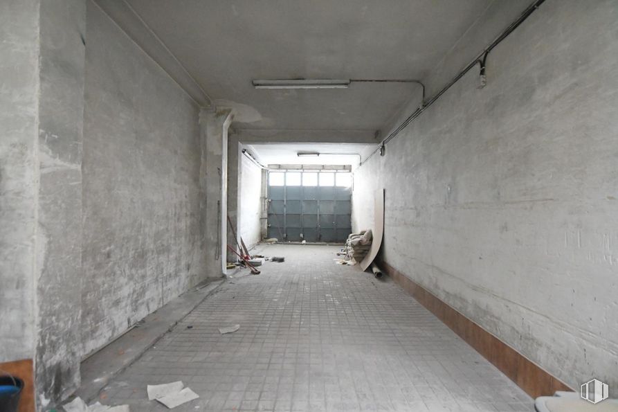
Street floor space that has 600 m2 of which 580 m2 are useful. It has a street floor of 300 m2 useful with access from the portal and also consists of a street door and carriage passage that is 2.95 m wide by 2.70 m high.
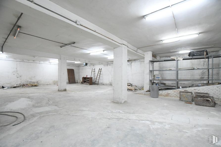
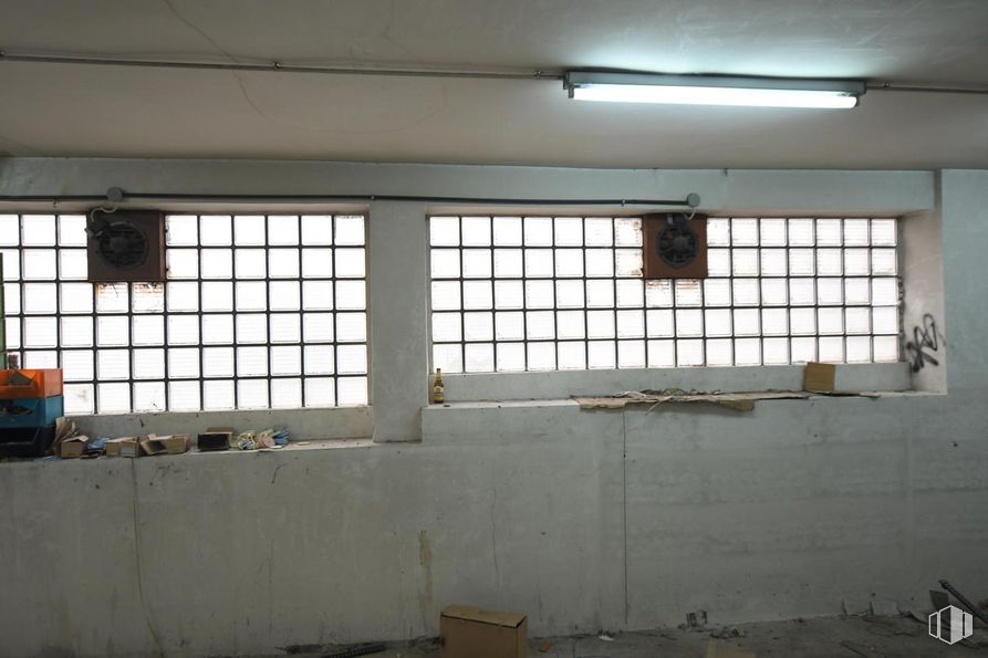
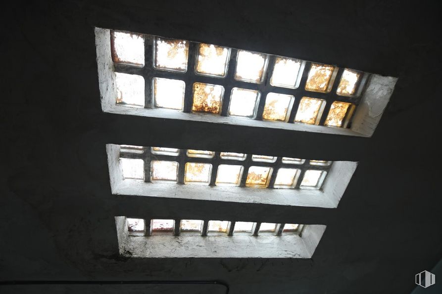
In turn, it has a façade with 13-meter paves-style glazing that could serve as ventilation for this floor, it has several skylights in the open area.
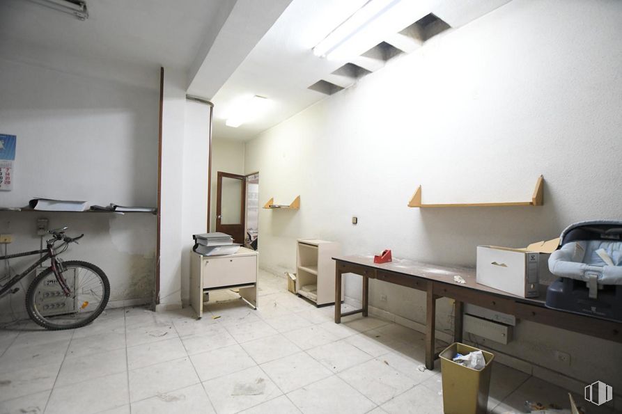
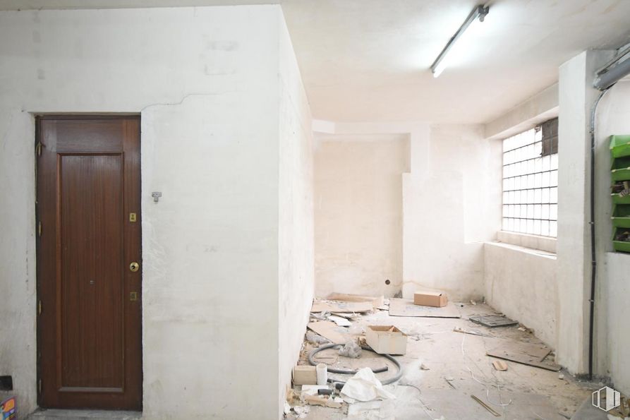
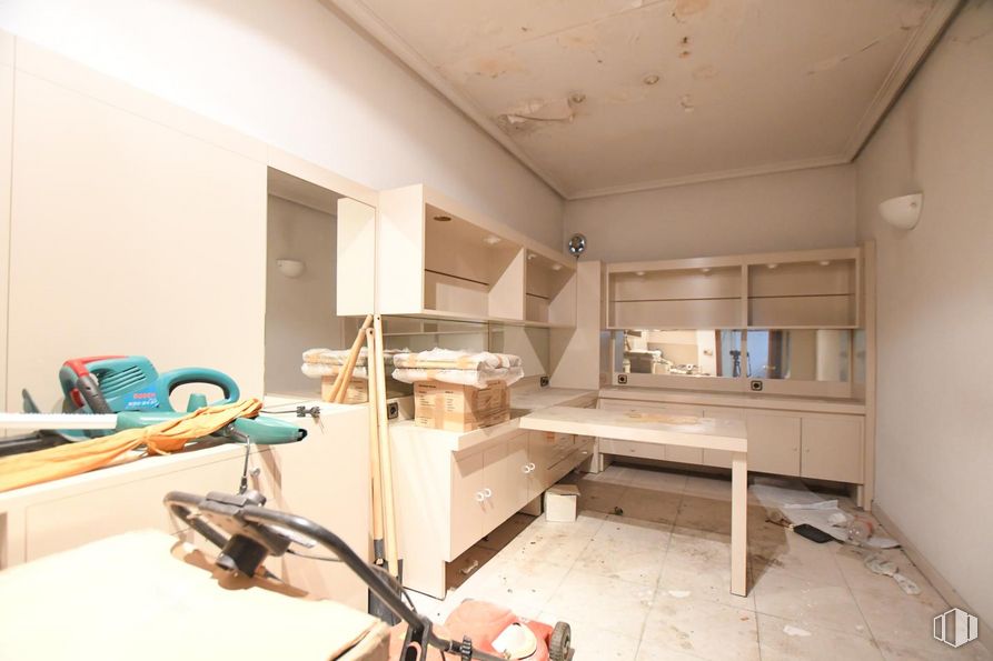
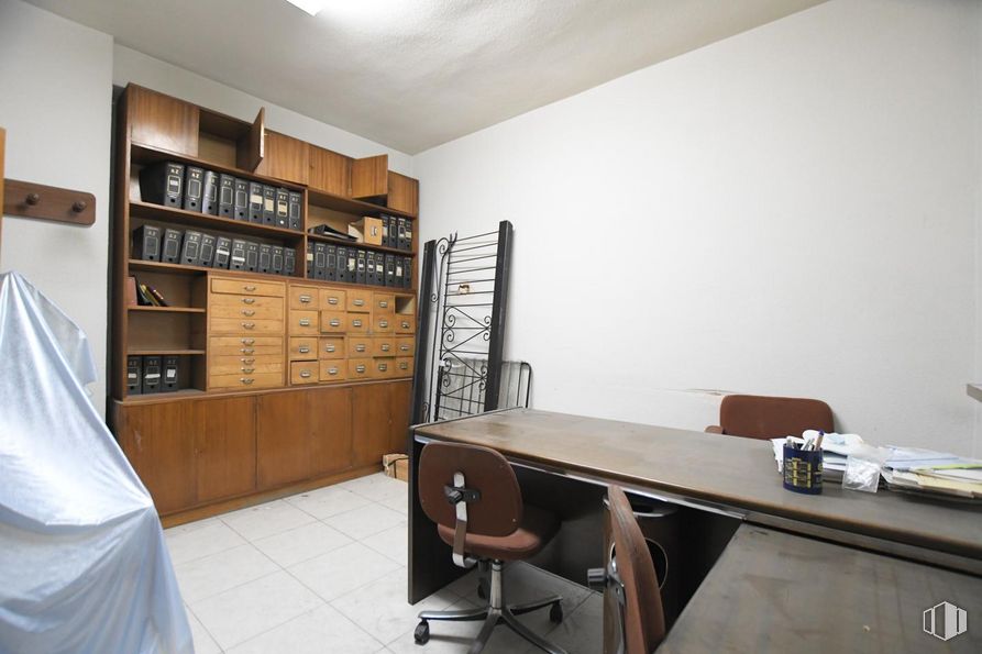
Upstairs there are bathrooms and several rooms for office use.
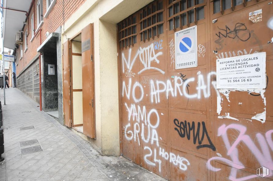
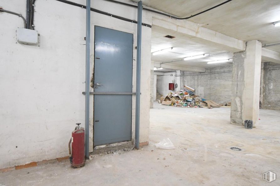
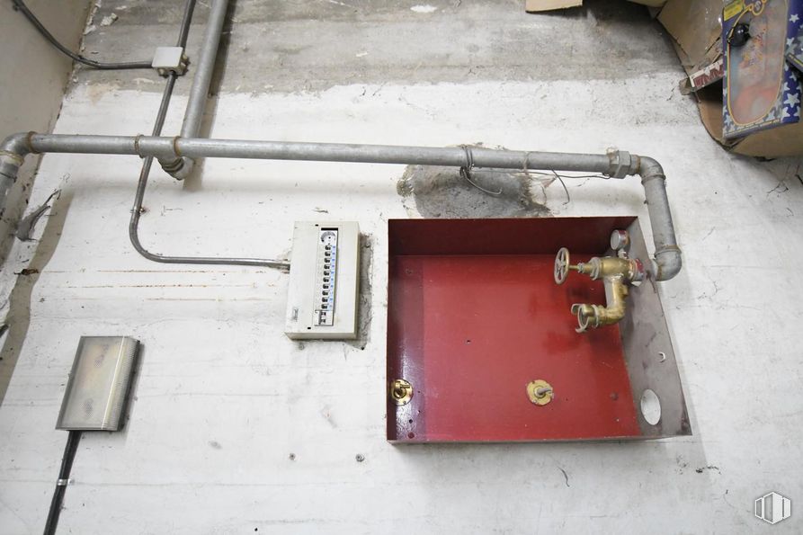
In the basement, which has access by a staircase and a ramp, which is currently closed.
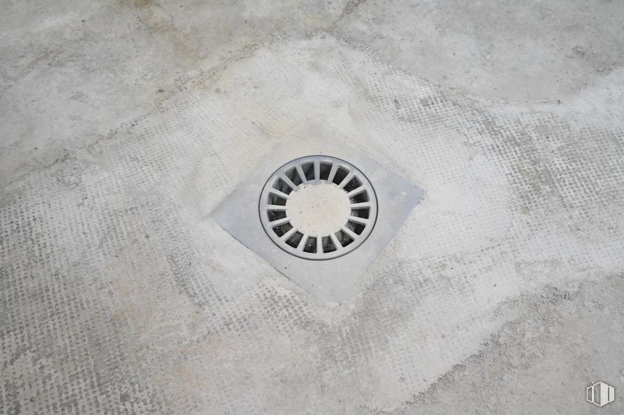
This floor has no ventilation, and has drainage and access from the portal.
| Floor | Use | m2 | € | €/m2 | Space layout | Availability |
|---|---|---|---|---|---|---|
| Ground | Retail | 600 | 450,000 | 750 | Open Plan | Available now |
| Bus | Line | Distance |
|---|---|---|
| Dolores Barranco-Amor Hermoso | 6 | 124 m |
| Marcelo Usera-Ferroviarios | 47, 247, N15 | 192 m |
| Dolores Barranco-Olvido | 6 | 213 m |
| Dolores Barranco-Jaspe | 6 | 224 m |
| Underground | Line | Distance |
|---|---|---|
| Usera | 6 | 386 m |
| Almendrales | 3 | 564 m |
| Commuter train | Line | Distance |
|---|---|---|
| Doce de Octubre | C5 | 759 m |
| Orcasitas | C5 | 2 km |
| Delicias | C1, C7, C10 | 2 km |
| Pirámides | C1, C7, C10 | 2 km |
| Transport Node | Distance |
|---|---|
| Área Intermodal de Legazpi | 1 km |
| Estación de Atocha Renfe | 3 km |
| Estación de Madrid-Chamartín | 10 km |
| Aeropuerto Adolfo Suárez-Madrid Barajas | 14 km |
| Commercial areas | Distance |
|---|---|
| Mercado Municipal de Usera | 340 m |
| Mercado Municipal de Jesús del Gran Poder | 389 m |
| C.C. Plaza Río 2 | 746 m |
| Alcampo Madrid Río | 769 m |
| Hotels | Distance |
|---|---|
| Hotel Isis ** | 609 m |
| Hotel Praga **** | 1 km |
| Rafael Hoteles Atocha **** | 2 km |
| Public Administration | Distance |
|---|---|
| Oficinas de empleo de Usera | 364 m |
| Administración de la Agencia Tributaria Villaverde-Usera | 425 m |
| Junta Municipal de Distrito. Usera | 543 m |
| Oficinas de empleo de San Isidro | 2 km |
| Ayuntamiento de Madrid | 4 km |
| Health | Distance |
|---|---|
| Centro de Salud Almendrales | 342 m |
| Hospital Universitario 12 de Octubre | 1 km |
| Protection and security | Distance |
|---|---|
| Comisaría tramitación de DNI y pasaporte - Madrid - Usera - Villaverde 2 | 575 m |
| Parque de Bomberos de Madrid Nº 5. Usera | 853 m |
| Policía Municipal (OAC) Usera | 1 km |
| SEPRONA/I.C.A.E./Zona de Madrid | 2 km |
| Centro de Inserción Social Victoria Kent | 2 km |
| Other points of interest | Distance |
|---|---|
| Farmacia Calle de los Ferroviarios 69, Madrid | 83 m |
| Farmacia Calle de Antonio Salvador 64, Madrid | 134 m |
| Parking mixto. Calle Ortiz Campos | 239 m |
| Gasolinera Calle Mirasierra, s/n | 628 m |
| Parque de Pradolongo | 1 km |
| Invernadero del Palacio de Cristal de la Arganzuela | 1 km |

Usera