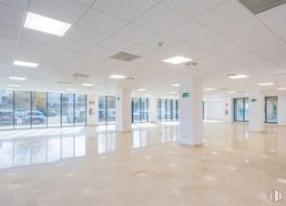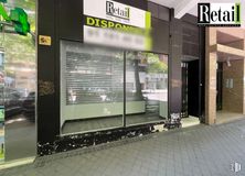
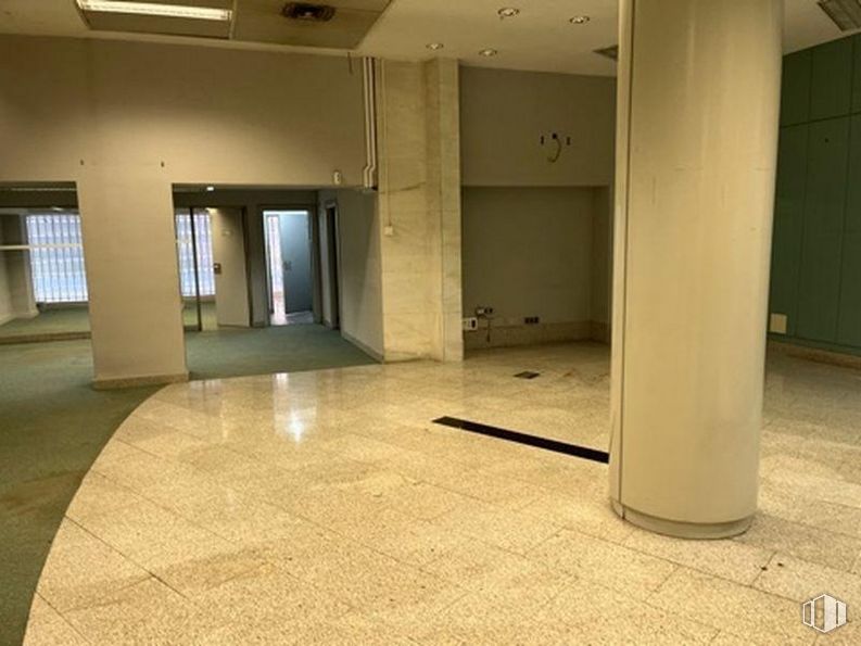
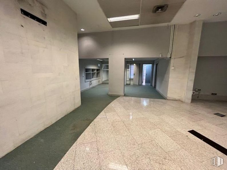
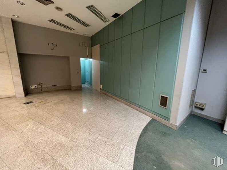
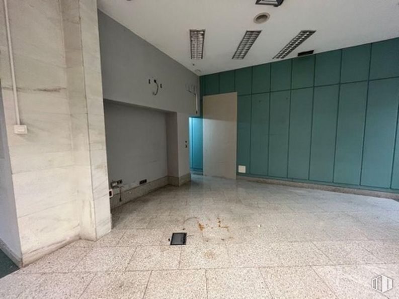
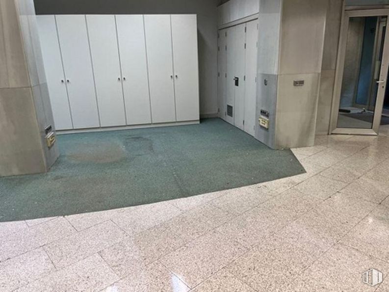
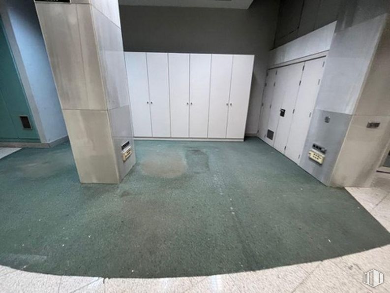
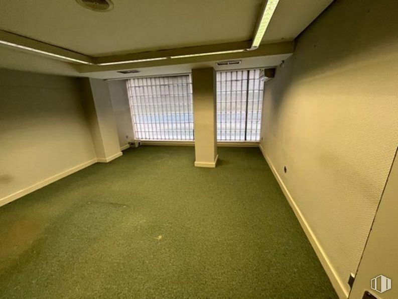
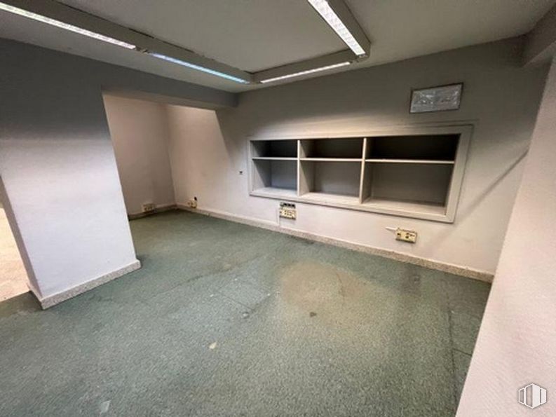
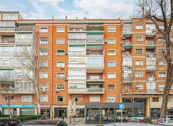


17 - 22 m2
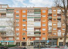
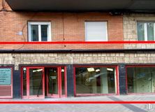
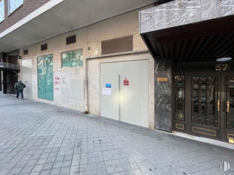
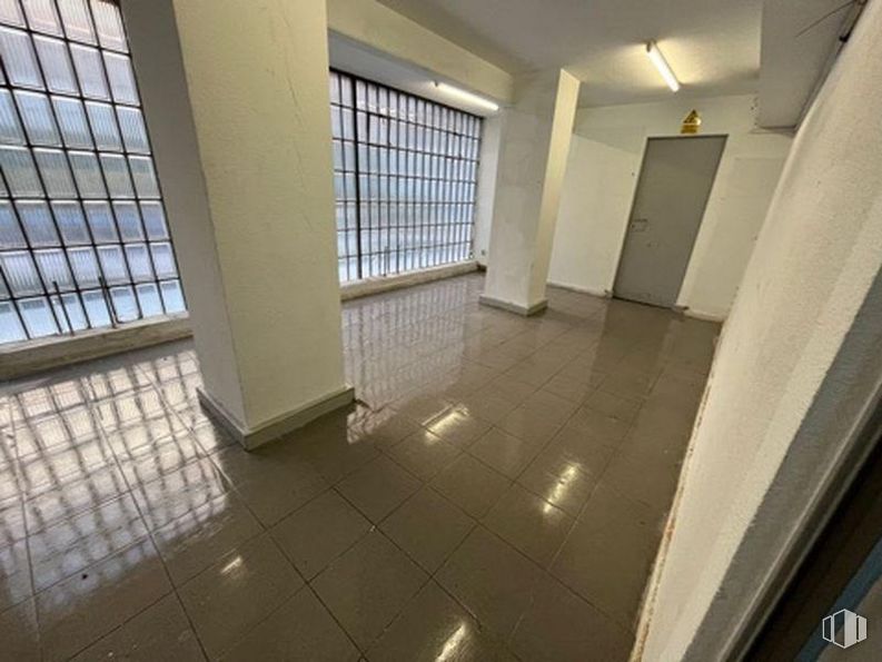
| Floor Ground
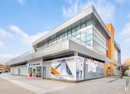
Price upon request
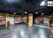
- Starting at 20,00 €/hour
- Top quality in each office and fully furnished
- State-of-the-art technology in all medical and electro-medical equipment
- The entire premises are not rented. The offices range from 17 m2 to 22 m2