The content of this page has been verified by the Belbex Research team – CoStar Group
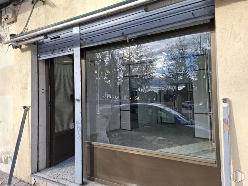
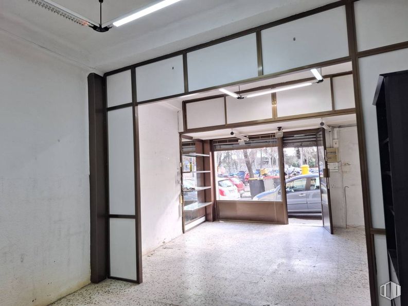
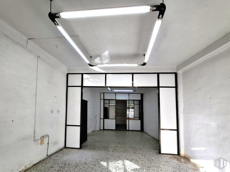
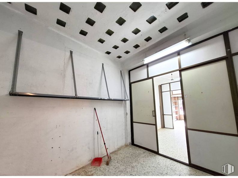
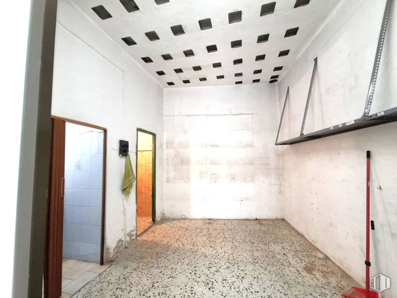
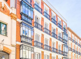
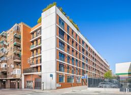
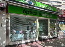
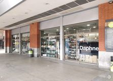
Commercial space with an area of 62 m2 located on the ground floor of a residential building, with direct and independent access at street level. The property is located on Caramuel Street, in the Latina/Puerta del Ángel area, a few minutes from several bus stops.
It has a window, metal security lock, high ceilings, terrazzo floors and a toilet.
Spaces
Floor
Use
m2
€/mo
€/m2/mo
Space layout
Availability
Ground
Retail
62
700
11.29
Partitioned
Available now
New
Building info
Total Floor: 5Construction year: 1965
Amenities
Security locks
Toilets
High ceilings
Terrazzo
On the street
Showcase
Bus stop
Public Transportation
Natural Light - Good
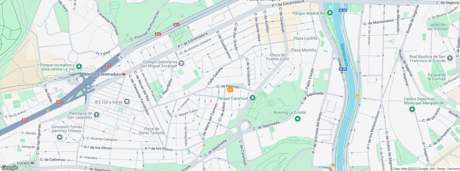
Location map
Map loading...
Contact
Transport
Bus
Line
Distance
Caramuel-Doña Mencia
138
156 m
Pº los Olivos-Caramuel
138
194 m
Calle de Caramuel
119
274 m
Caramuel-Antillon
138
347 m
Underground
Line
Distance
Puerta del Angel
6
642 m
Alto de Extremadura
6
725 m
Lago
10
989 m
Interurban bus
Line
Distance
Madrid - María del Carmen - Jaime Tercero
500
164 m
Madrid - Galiana - Pericles
500
239 m
Madrid - Pº Jesuitas - Pza. Cerro Bermejo
500
241 m
Commuter train
Line
Distance
Laguna
C5
2 km
Pirámides
C1, C7, C10
2 km
Príncipe Pío
C1, C7, C10
2 km
Embajadores
C5
2 km
Transport Node
Distance
Intercambiador de Principe Pío
2 km
Estación de Atocha Renfe
3 km
Estación de Madrid-Chamartín
8 km
Aeropuerto Adolfo Suárez-Madrid Barajas
15 km
Points of interest
Commercial areas
Distance
C.C. Barrio Art Decó
447 m
Mercado Municipal de Alto Extremadura
460 m
Mercado Municipal de Tirso de Molina
596 m
C.C. Puerta de Toledo
2 km
Hotels
Distance
Hotel NH Ribera del Manzanares ****
739 m
Hotel City House Florida Norte by Faranda ****
2 km
Hotel Barceló Torre de Madrid *****
2 km
Public Administration
Distance
Embajada de República de Armenia
2 km
Consejo de Estado
2 km
Junta Municipal de Distrito. Centro
2 km
Ayuntamiento de Madrid
3 km
Administración de la Agencia Tributaria Montalbán
3 km
Health
Distance
Centro de Salud Caramuel
171 m
C.E. Avenida de Portugal
744 m
Protection and security
Distance
Tramitación DNI y Pasaporte - Madrid - Arganzuela - Mediodía
751 m
Policía Municipal (Jefatura Madrid)
1 km
Parque de Bomberos de Madrid Nº 3. Centro
2 km
Compañía Palacio Real
2 km
Centro de Inserción Social Victoria Kent
4 km
Other points of interest
Distance
Farmacia Calle de Pericles 11, Madrid
110 m
Parque Caramuel
232 m
Farmacia Calle de Caramuel 38, Madrid
241 m
Parque los Pinos
384 m
Gasolinera Calle Segovia c/v Calle Virgen del Puerto
La Latina District covers an area of 2,542.97 hectares and runs parallel to the Extremadura road to the southwest of the capital. It borders with the districts of Carabanchel, Arganzuela, Centro and Moncloa - Aravaca and includes the quarters of Los Cármenes, Puerta del Ángel, Lucero, Aluche, Campamento, Cuatro Vientos and Las Águilas. Latina District must not be confused with La Latina Quarter, which is located inside the Central District. They share the same name because both of them are named after Beatriz Galindo, La Latina, a humanist who was a friend of Isabella I of Castile, and hence her nickname La Latina. The Bridge of Segovia, which joins the historical centre with the southeast of Madrid was built in 1574 during the reign of Felipe I. It is the work of the architects Gaspar de Vega and Juan de Herrera.