
25 m2
| Floor Ground
10,000 €
| 400 €/m2
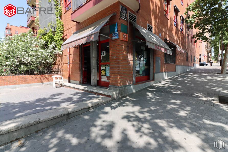
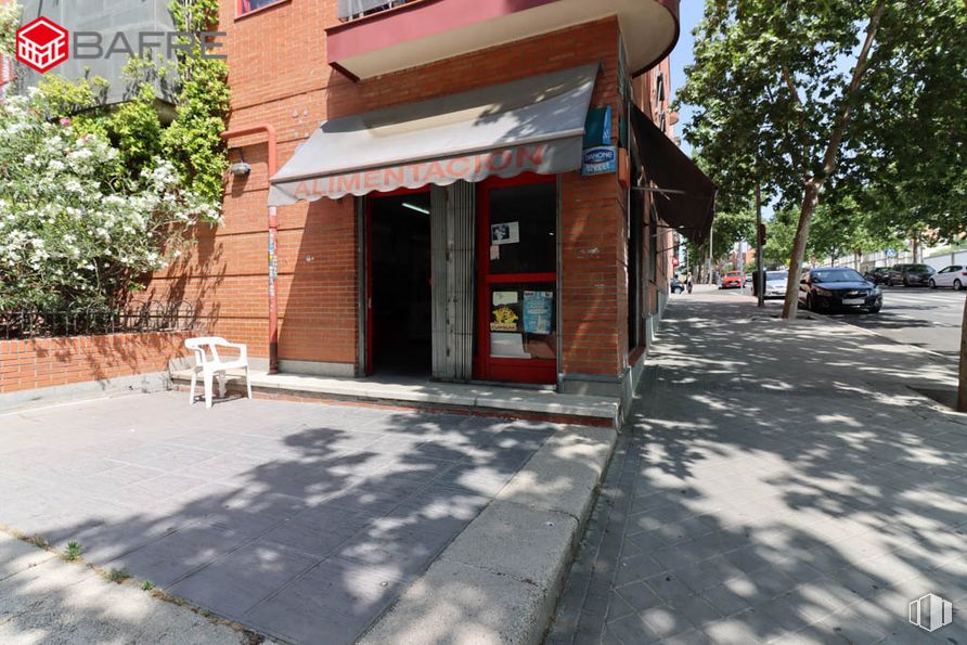
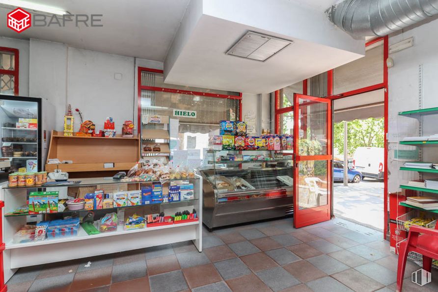
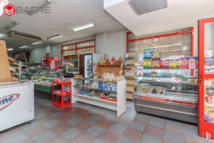
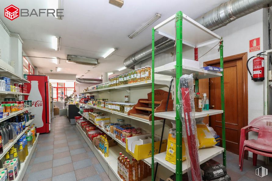
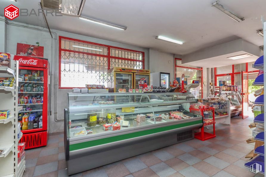
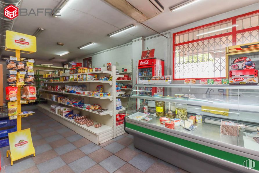
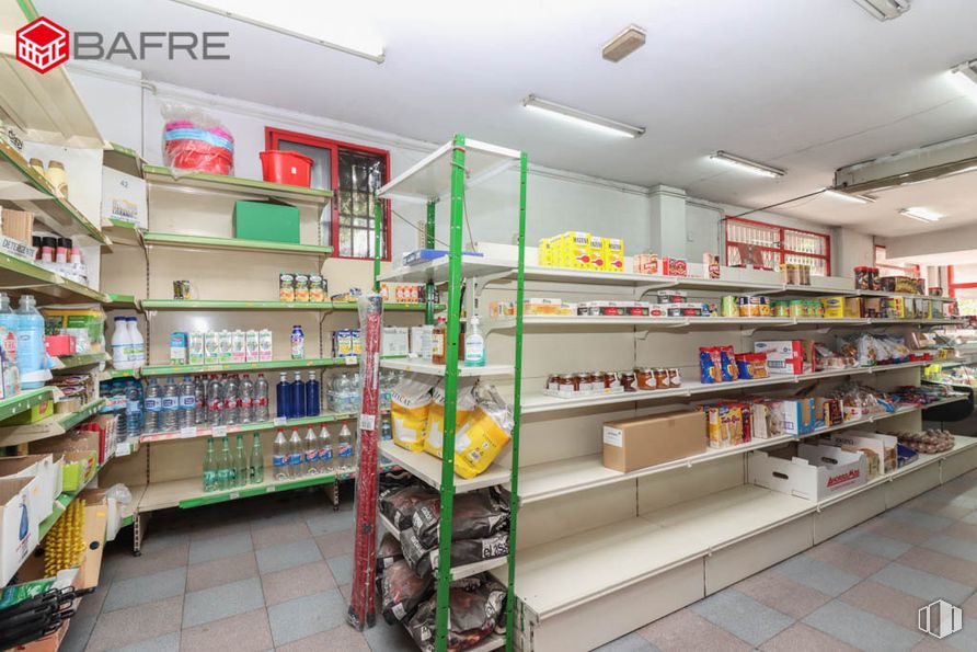
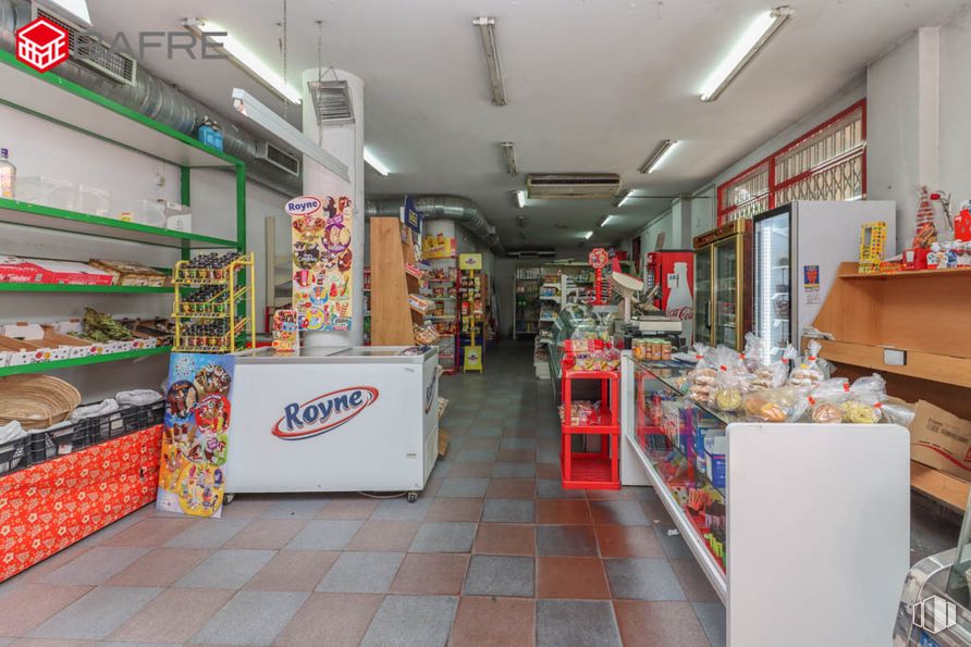
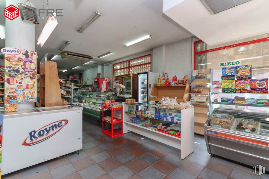
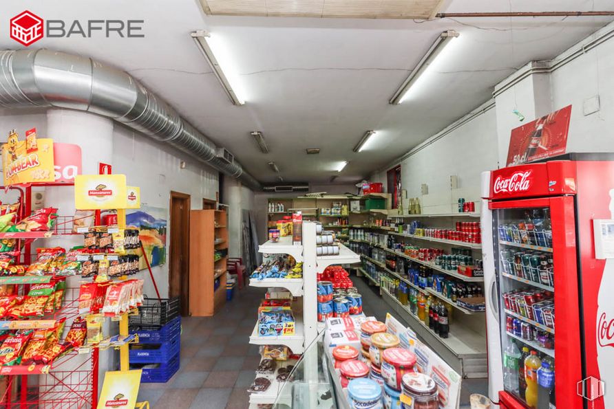
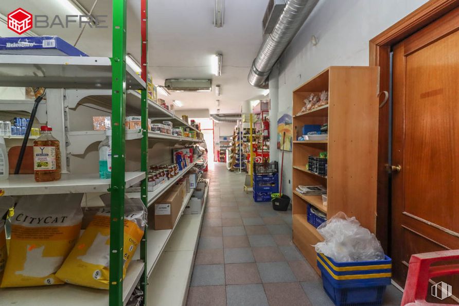
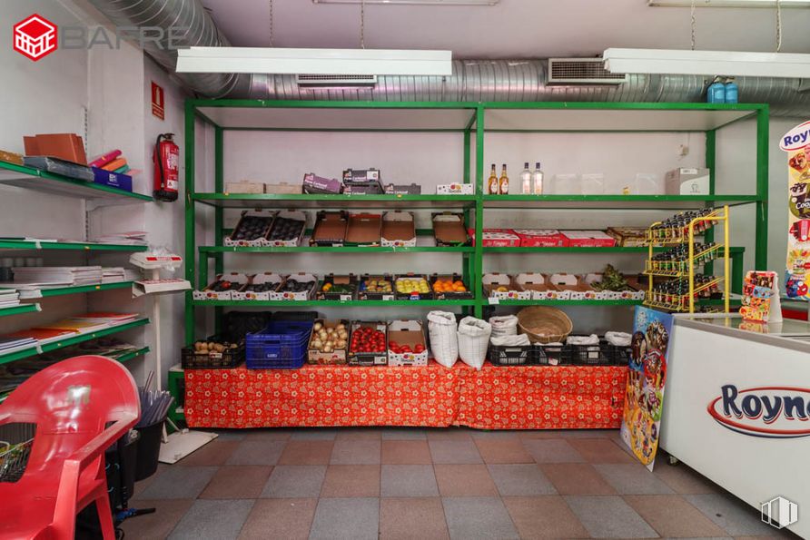
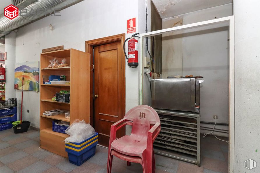
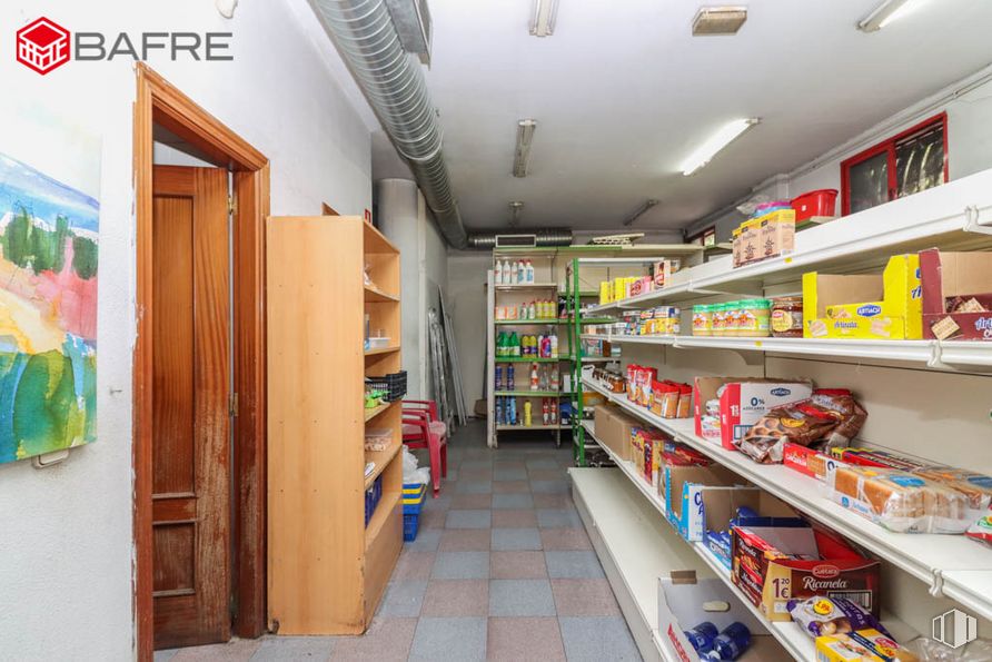
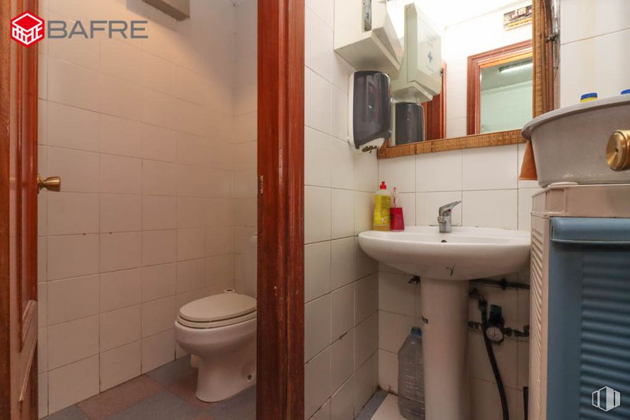
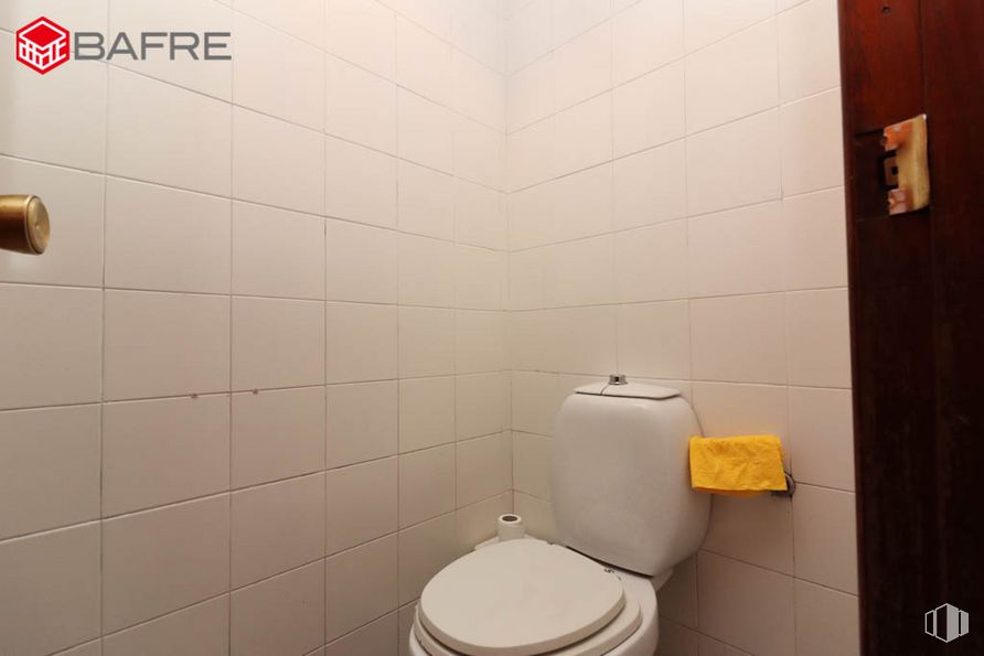
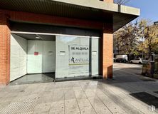
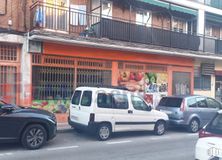
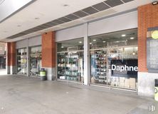
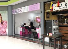
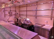
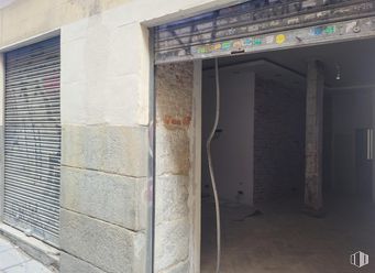
Commercial space of 115 m2 built, located at street level and on the corner, with entrance to the store, cash desk and reception area, oven and storage area, bathroom and garbage room.
Among other features, it has tile floors, aluminum windows with simple glazing and air conditioning.
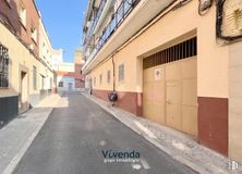
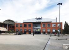
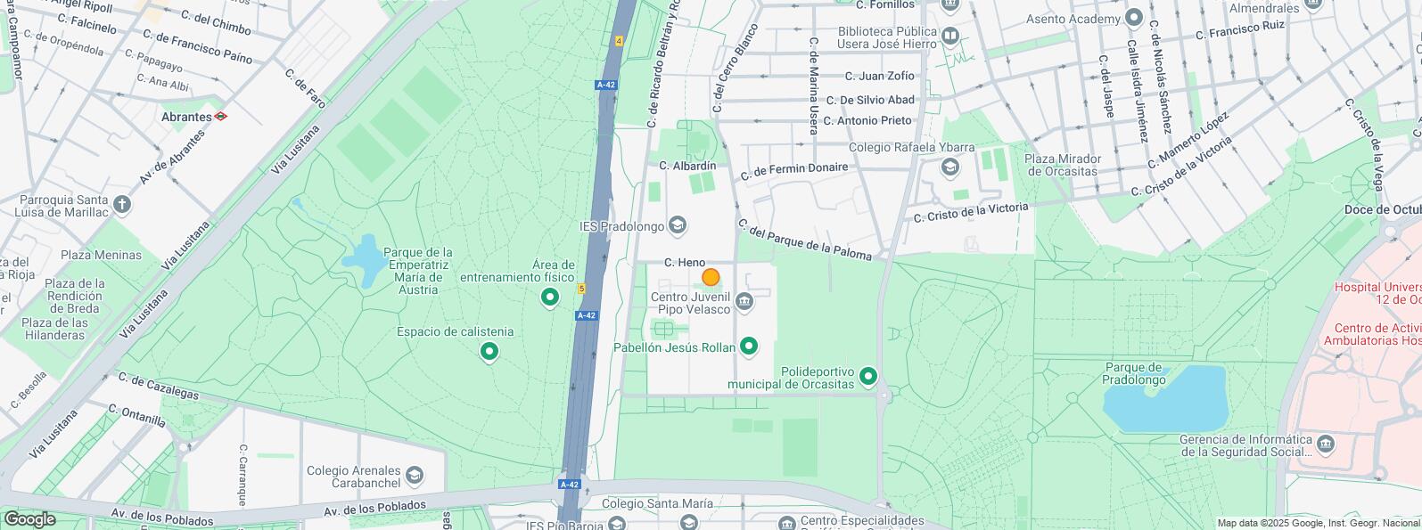
The property is located in a consolidated and well-connected area, very close to the urban bus stop, schools, youth center, sports center and residential area.
| Floor | Use | m2 | € | €/m2 | Space layout | Availability |
|---|---|---|---|---|---|---|
| Ground | Retail | 115 | 207,000 | 1,800 | Partitioned | Available now |
| Bus | Line | Distance |
|---|---|---|
| Frente N.20 | 19, 78 | 58 m |
| Avena-R.Beltran Rozpide | 78 | 92 m |
| Parque de la Paloma-Heno | 78 | 220 m |
| Underground | Line | Distance |
|---|---|---|
| Plaza Elíptica | 6, 11 | 940 m |
| Interurban bus | Line | Distance |
|---|---|---|
| Madrid - Av. Princesa Juana Austria - Av. Poblados | 441, 442, 443, 444, 446, 460, 461, 463, 464, 469, N801, N805, N806 | 362 m |
| Commuter train | Line | Distance |
|---|---|---|
| Doce de Octubre | C5 | 1 km |
| Orcasitas | C5 | 1 km |
| Pirámides | C1, C7, C10 | 3 km |
| Transport Node | Distance |
|---|---|
| Intercambiador de Plaza Elíptica | 875 m |
| Estación de Atocha Renfe | 4 km |
| Estación de Madrid-Chamartín | 11 km |
| Aeropuerto Adolfo Suárez-Madrid Barajas | 15 km |
| Commercial areas | Distance |
|---|---|
| Mercado Municipal de Orcasitas | 890 m |
| Mercado Municipal de Usera | 1 km |
| C.C. Plaza Río 2 | 2 km |
| Alcampo Madrid Río | 2 km |
| Hotels | Distance |
|---|---|
| Hotel Praga **** | 2 km |
| Public Administration | Distance |
|---|---|
| Junta Municipal de Distrito. Usera | 768 m |
| Oficinas de empleo de Usera | 2 km |
| Administración de la Agencia Tributaria Villaverde-Usera | 2 km |
| Ayuntamiento de Madrid | 5 km |
| Health | Distance |
|---|---|
| C.E. Orcasitas | 470 m |
| Centro de Salud Orcasitas | 483 m |
| Protection and security | Distance |
|---|---|
| Comisaría tramitación de DNI y pasaporte - Madrid - Usera - Villaverde 2 | 697 m |
| Policía Municipal (OAC) Usera | 1 km |
| Parque de Bomberos de Madrid Nº 5. Usera | 2 km |
| Centro de Inserción Social Victoria Kent | 3 km |
| Other points of interest | Distance |
|---|---|
| Farmacia Calle de la Arenaría 11, Madrid | 60 m |
| Farmacia Calle Fermín Donaire 33, Madrid | 261 m |
| Gasolinera Avenida Princesa Juana de Austria, km. 4'700 (A-42 Carretera Toledo) | 298 m |
| Parque Sur | 601 m |
| Parque de Pradolongo | 736 m |
| Parking mixto. Calle Ortiz Campos | 1 km |

Usera