
199 m2
| Floor Ground
300,000 €
| 1,508 €/m2
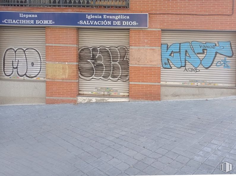
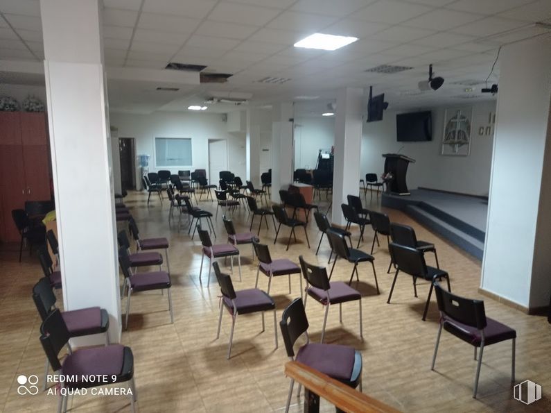
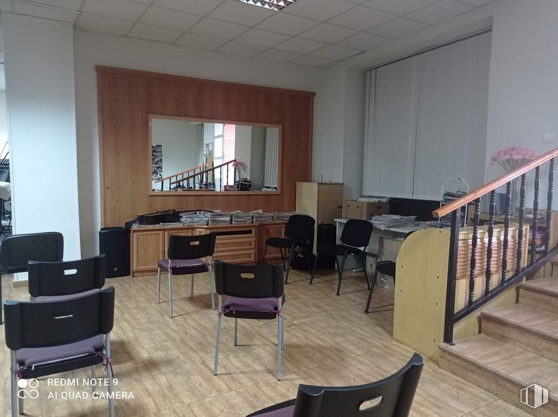
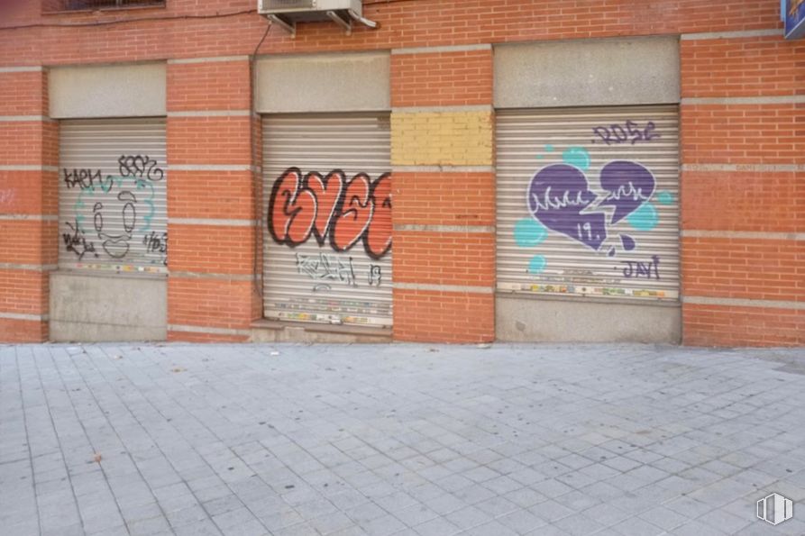
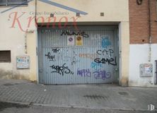
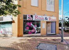
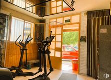
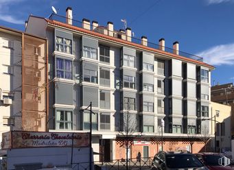
Set of commercial premises available in Portazgo, Puente de Vallecas district.
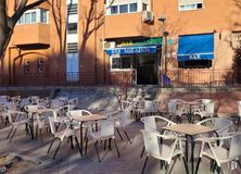
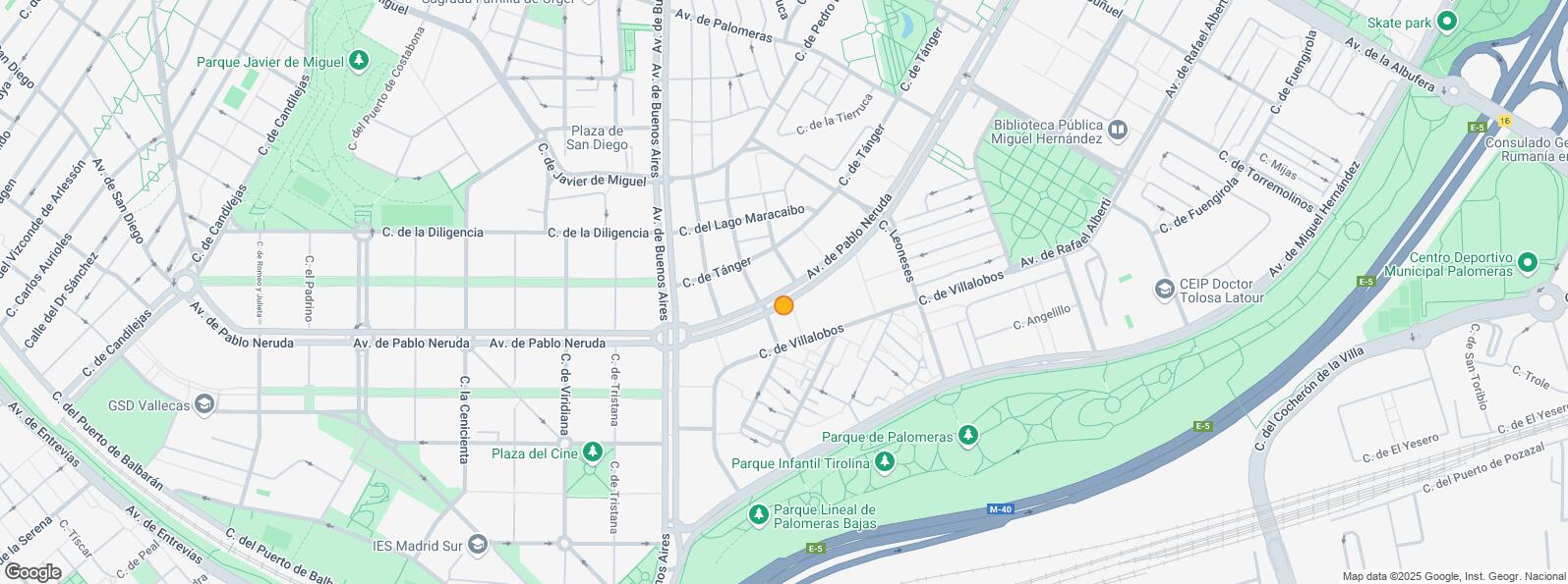
Location in a busy area with complete services within reach (health center, gym, shops, pharmacy, etc.). Good public traffic and easy communication by public transport through several bus stops a few meters away and a few minutes on foot, the suburban station (El Pozo) and metro (Miguel Hernández and Alto del Arenal).
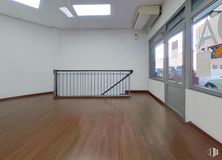
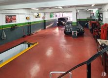
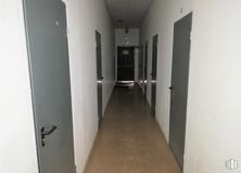
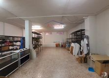
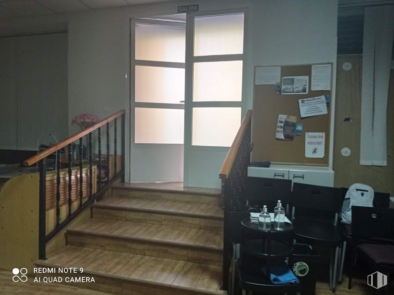
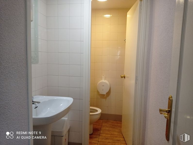
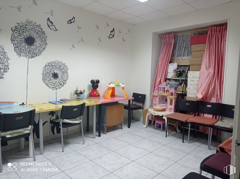
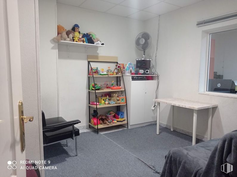
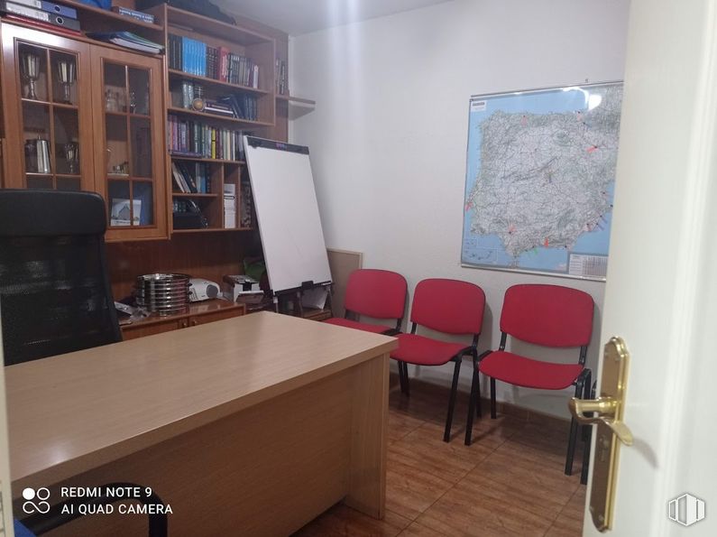
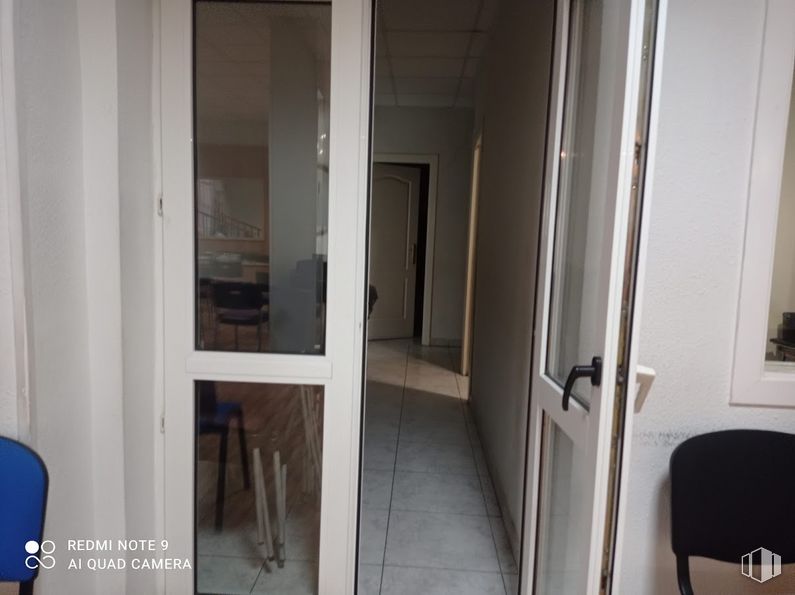
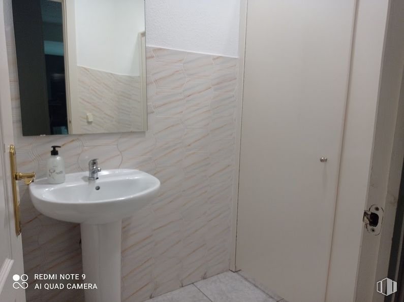
These are two spaces of 238 m2 and 86 m2. They are fully equipped and stand out for their large façade and ceiling height. They are equipped with smoke outlet, air conditioning, recessed lighting, security system and alarm. They have a warehouse and bathrooms.
| Floor | Use | m2 | € | €/m2 | Space layout | Availability |
|---|---|---|---|---|---|---|
| Ground | Retail | 238 | 220,000 | 924 | Partitioned | Available now |
| Ground | Retail | 86 | 125,000 | 1,453 | Partitioned | Available now |
Service Charge 0.7 €/m2/mo
| Bus | Line | Distance |
|---|---|---|
| Lago Calafate | 310 | 134 m |
| Av.Pablo Neruda-Villalobos | 10, 57, 144 | 170 m |
| Av.Pablo Neruda-Lago Calafate | 57 | 177 m |
| Villalobos-Av.Miguel Hernandez | 10, 310 | 188 m |
| Underground | Line | Distance |
|---|---|---|
| Alto del Arenal | 1 | 892 m |
| Buenos Aires | 1 | 955 m |
| Commuter train | Line | Distance |
|---|---|---|
| El Pozo | C1, C2, C7 | 906 m |
| Asamblea de Madrid-Entrevías | C1, C2, C7 | 1 km |
| Vallecas | C1, C2, C7 | 2 km |
| Méndez Alvaro | C1, C5, C7, C10 | 3 km |
| Transport Node | Distance |
|---|---|
| Estación de Autobuses de Méndez Álvaro | 3 km |
| Estación de Atocha Renfe | 4 km |
| Estación de Madrid-Chamartín | 10 km |
| Aeropuerto Adolfo Suárez-Madrid Barajas | 11 km |
| Taxi | Stop | Distance |
|---|---|---|
| Avenida de Pablo Neruda, 116 H | 13.18 | 207 m |
| Commercial areas | Distance |
|---|---|
| Carrefour Madrid Sur | 1 km |
| C.C. Albufera | 1 km |
| C.C. Madrid Sur | 1 km |
| Alcampo Vallecas | 1 km |
| Hotels | Distance |
|---|---|
| Hotel Diana Plus **** | 2 km |
| Hotel Mercader **** | 3 km |
| Public Administration | Distance |
|---|---|
| Asamblea de Madrid | 1 km |
| INSS - Centros Urbanos - Nº 4 | 1 km |
| Junta Municipal de Distrito. Puente de Vallecas | 2 km |
| Administración de Aduanas Madrid - Ferrocarril | 2 km |
| Ayuntamiento de Madrid | 5 km |
| Health | Distance |
|---|---|
| Centro de Salud Campo de la Paloma | 235 m |
| C.E. Federica Montseny | 1 km |
| Protection and security | Distance |
|---|---|
| Policía Municipal (OAC) Puente de Vallecas | 617 m |
| Parque de Bomberos de Madrid Nº 8. Puente de Vallecas | 1 km |
| Comisaría - Madrid - Puente de Vallecas | 1 km |
| I.Armas y Explosivos - Madrid | 2 km |
| Base de socorro de la Cruz Roja de Madrid. Avda. Moratalaz 50-52 | 3 km |
| Other points of interest | Distance |
|---|---|
| Farmacia Avenida de Pablo Neruda 102, Madrid | 124 m |
| Farmacia Calle de Villalobos 63, Madrid | 223 m |
| Parque Palomeras Bajas | 851 m |
| Parking público. Metro de Madrid Miguel Hernández | 1 km |
| Gasolinera Camino del Pozo del Tío Raimundo, 7 | 1 km |
| Parque Cerro del Tío Pío | 2 km |

Puente de Vallecas