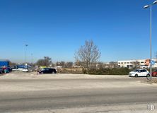

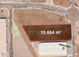
- Direct management with the Naves Arenas property, without intermediary fees
- Industrial plot with a high percentage of buildability
- In a consolidated industrial area
- Excellent communications by private transport
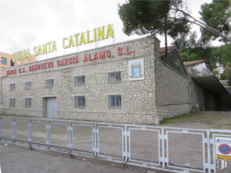

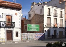
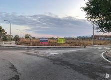
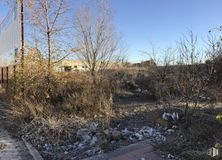
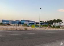
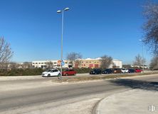
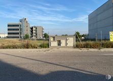
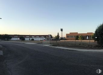
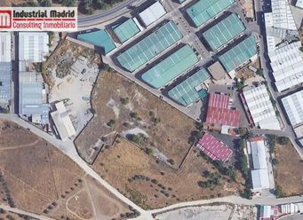
Plot of urban land with a graphic area of 15,300 m2, with different uses in the town of Arganda del Rey.
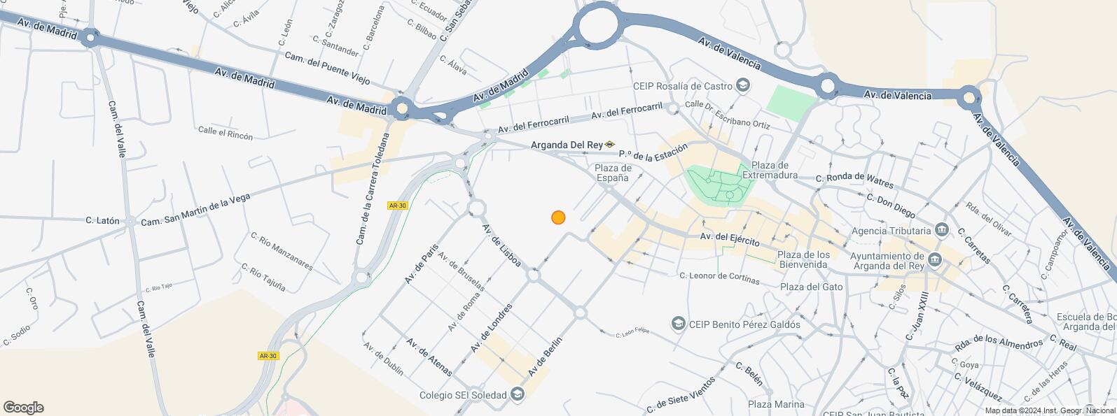
Located next to the Arganda del Rey metro station, in the heart of the city and with easy access by road.
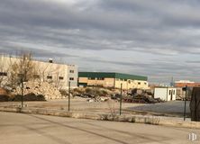
The farm is composed of four cadastral references, one for industrial use of more than 1,400 m2 built and with 4 industrial warehouses, with access for trucks along Avenida del Ejercito 51 and 8,500 m2 of land classified as industrial.
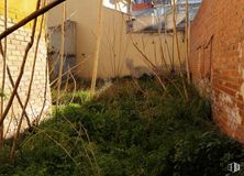
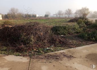
A plot for residential use, with a building of 500 m2 built and more than 2,000 m2 of unbuilt land. There is the possibility to build 26 houses and garages.
And finally, a plot of more than 5,000 m2 with private green areas.
Located 28 km from Madrid, it connects to the capital by interurban bus line 312, metro line 9, the A-3 motorway and the R-3 toll road.
| Bus | Line | Distance |
|---|---|---|
| Av.Ejército-Vereda del Melero | 1 | 120 m |
| Av.Lisboa-Pza.Estocolmo | 4 | 249 m |
| Underground | Line | Distance |
|---|---|---|
| Arganda del Rey | 9 | 186 m |
| Transport Node | Distance |
|---|---|
| Aeropuerto Adolfo Suárez-Madrid Barajas | 20 km |
| Estación de Atocha Renfe | 24 km |
| Estación de Madrid-Chamartín | 27 km |
| Commercial areas | Distance |
|---|---|
| C.C. Zoco Arganda | 586 m |
| Mercado Municipal Arganda Del Rey | 949 m |
| Parque Comercial Rivas Futura | 8 km |
| Hotels | Distance |
|---|---|
| Hotel Guillén * | 942 m |
| Hotel Sercotel AB Arganda **** | 2 km |
| Hotel Madrid Ibis Arganda *** | 3 km |
| Public Administration | Distance |
|---|---|
| Oficinas de empleo de Arganda | 516 m |
| Ayuntamiento de Arganda del Rey | 975 m |
| Administración de la Agencia Tributaria Arganda del Rey | 979 m |
| Servicio Común Actos Comunicación y Ejecución - Oficina Decanato | 2 km |
| Primera Instancia e Instrucción - Violencia sobre la Mujer | 2 km |
| Health | Distance |
|---|---|
| Centro de Salud Arganda | 897 m |
| Hospital Universittario del Sureste | 971 m |
| Protection and security | Distance |
|---|---|
| Base de socorro de la Cruz Roja de Arganda. Calle Real 79 | 1 km |
| Guardia civil Puesto/Equipo P.J./I. Armas y Explosivos Arganda del Rey | 1 km |
| Policía Local Arganda del Rey | 2 km |
| Tramitación de DNI y pasaporte - Arganda del Rey | 2 km |
| Other points of interest | Distance |
|---|---|
| Gasolinera Avenida Ejército, 44 | 37 m |
| Farmacia Avenida del Ejército 42, Arganda del Rey | 74 m |
| Parking público. Estación de Metro | 167 m |
| Farmacia Paseo de la Estación 6, Arganda del Rey | 328 m |
| Parking público. Presidente Adolfo Suarez, s/n | 942 m |
Arganda del Rey


