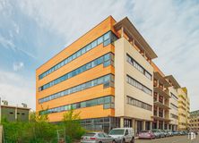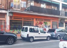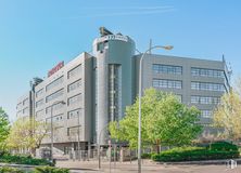

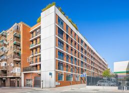
- Starting at 20,00 €/hour
- Top quality in each office and fully furnished
- State-of-the-art technology in all medical and electro-medical equipment
- The entire premises are not rented. The offices range from 17 m2 to 22 m2
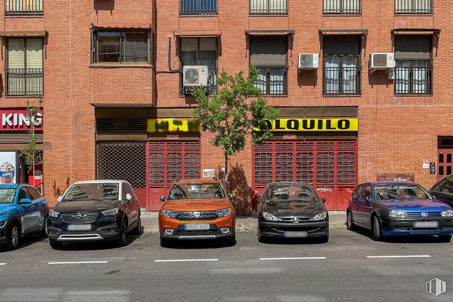


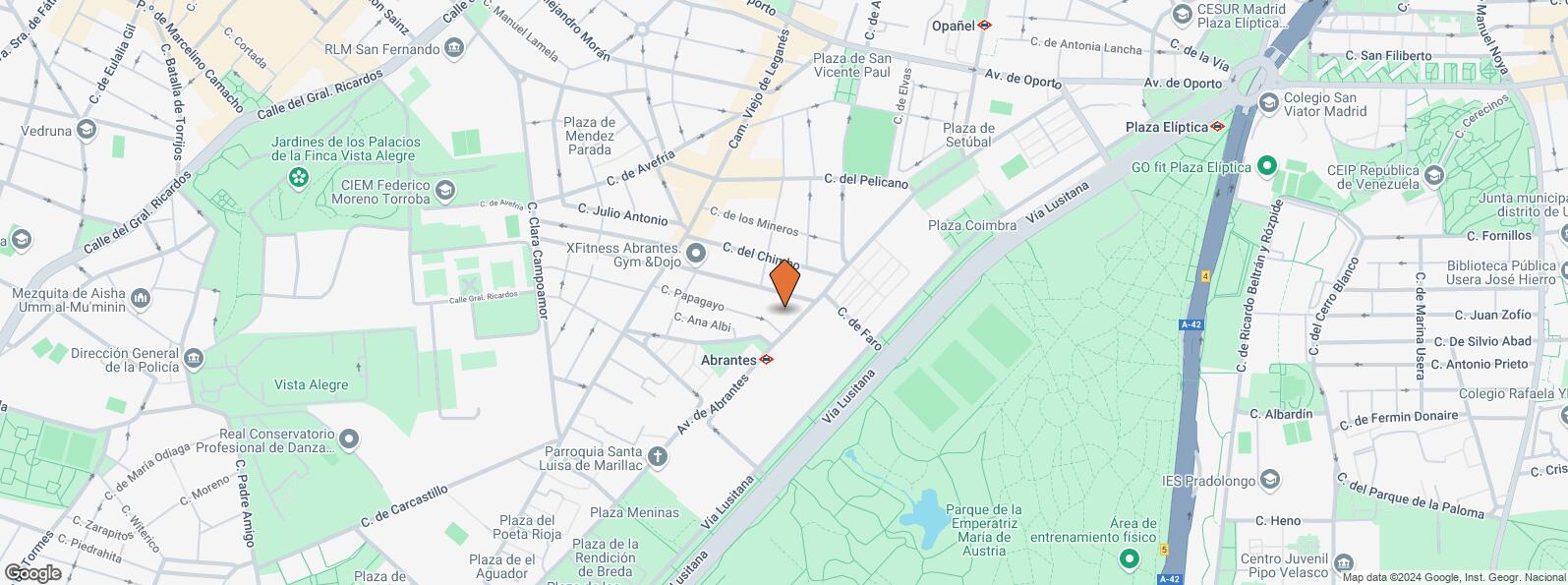
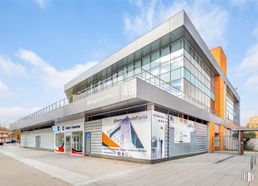
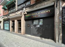
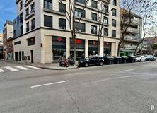
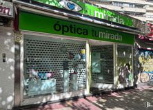
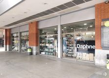
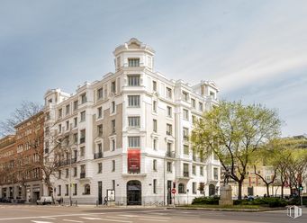
Large commercial space located in the Abrantes area, on the main road, in front of the health center, school and metro stop.
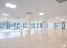
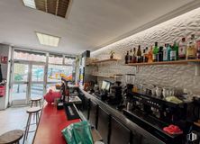
It has an open area of 140 m2.
It has a completely square shape with a façade of 12 meters and a depth of 12 meters.
It has 2 large windows, tile floors, toilet, three windows overlooking a garden, smoke outlet and capacity for 84 people.
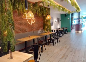
The place was formerly an Asian restaurant, although the interior space has now been left completely open.
It has a lot of constant pedestrian traffic. It also benefits from being between two fast food restaurants such as Telepizza and Burger King.
It is located in a very commercial area of the neighborhood, in the middle of Abrantes Avenue, next to the subway, several bus lines, schools, restaurants, bars and very close to the health center.
There is a possibility of a grace period for reform and launch of the activity.
| Floor | Use | m2 | €/mo | €/m2/mo | Space layout | Availability |
|---|---|---|---|---|---|---|
| Ground | Retail | 140 | 3,000 | 21.43 | Open Plan | Available now |
| Bus | Line | Distance |
|---|---|---|
| Cº Viejo Leganes-Falcinelo | 118, N16 | 236 m |
| Av.Abrantes-Pelicano | 47, 108 | 245 m |
| Via Lusitana-Faro | 116 | 253 m |
| Av.Abrantes-Carrero Juan Ramon | 47, 108 | 255 m |
| Underground | Line | Distance |
|---|---|---|
| Abrantes | 11 | 41 m |
| Opañel | 6 | 732 m |
| Pan Bendito | 11 | 791 m |
| Oporto | 5, 6 | 862 m |
| Interurban bus | Line | Distance |
|---|---|---|
| Madrid - Av. Abrantes - Alfonso Martinez Conde | 484 | 70 m |
| Leganes - Av. Abrantes - Alfonso Martinez Conde | 484 | 86 m |
| Leganes - Av. Abrantes - Pelicano | 484 | 253 m |
| Commuter train | Line | Distance |
|---|---|---|
| Laguna | C5 | 2 km |
| Doce de Octubre | C5 | 2 km |
| Orcasitas | C5 | 3 km |
| Pirámides | C1, C7, C10 | 3 km |
| Transport Node | Distance |
|---|---|
| Intercambiador de Plaza Elíptica | 887 m |
| Estación de Atocha Renfe | 4 km |
| Estación de Madrid-Chamartín | 11 km |
| Aeropuerto Adolfo Suárez-Madrid Barajas | 16 km |
| Taxi | Stop | Distance |
|---|---|---|
| Plaza de Tarifa, 5 | 11.11 | 373 m |
| Commercial areas | Distance |
|---|---|
| C.C. Vista Alegre - Tiendas El Corte Inglés | 877 m |
| Hipercor Vista Alegre | 1 km |
| Mercado Municipal de Puerta Bonita | 1 km |
| Mercado Municipal de Barrio San Isidro | 1 km |
| Hotels | Distance |
|---|---|
| Hotel Praga **** | 2 km |
| Hotel NH Ribera del Manzanares **** | 3 km |
| Public Administration | Distance |
|---|---|
| Oficinas de empleo de Agueda Díez | 1 km |
| Junta Municipal de Distrito. Carabanchel | 1 km |
| Oficinas de empleo de San Isidro | 2 km |
| Administración de la Agencia Tributaria Suroeste | 2 km |
| Ayuntamiento de Madrid | 5 km |
| Health | Distance |
|---|---|
| Centro de Salud Abrantes | 62 m |
| C.E. Orcasitas | 1 km |
| Protection and security | Distance |
|---|---|
| Comisaría tramitación de DNI y pasaporte - Madrid - Carabanchel | 1 km |
| Policía Municipal (OAC) Carabanchel | 2 km |
| Parque de Bomberos de Madrid Nº 5. Usera | 2 km |
| Centro de Inserción Social Victoria Kent | 4 km |
| Other points of interest | Distance |
|---|---|
| Farmacia Avenida de Abrantes 57, Madrid | 74 m |
| Farmacia Calle de Chimbo 23, Madrid | 108 m |
| Gasolinera Avenida Abrantes, s/n c/v Plaza Setubal, 4 | 434 m |
| Parque Sur | 677 m |
| Parking mixto. Calle Ortiz Campos | 2 km |
| Parque de Pradolongo | 2 km |

Carabanchel


