Glorieta Cuatro Caminos Tetuán Madrid 28020 Office for rent


- Good location
- Excellent communications by public transport
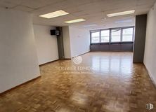
- Interior office, quiet and with natural light
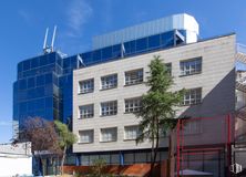
Office located in the Cuatro Caminos roundabout, next to numerous bus stops and the Cuatro Caminos metro station (lines 1, 2 and 6).
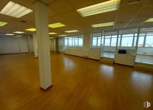
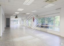
It has an area of 74 m2 distributed in a diaphanous way with a bathroom.
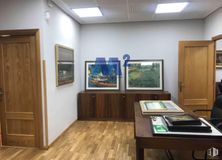
This is an interior office, but it overlooks a large patio so it has natural light. In addition, it has a false ceiling with built-in luminaires, wooden floors and hot and cold air conditioning.
The rent includes a parking space for motorcycles.
- Lifts
- Commissionaire service
- 24 hour access
- Suspended ceiling
- Hot water
- Toilets
- Open-Plan
- Natural Light - Good
- Floating Floors
- Suspended ceiling
- Air Conditioning Channel Cold/Heat
- Parkings space number
- Interior office
- Fire detection system
- Security System
- Parking
- Public Transportation
- Metro station
- Bus stop
- Fire detectors
- Emergency lighting
- Emergency exit
- Integral lighting

