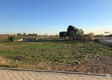

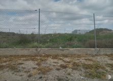
1,880 m2 plot
1,000,000 €


Ref.: GPG-18987
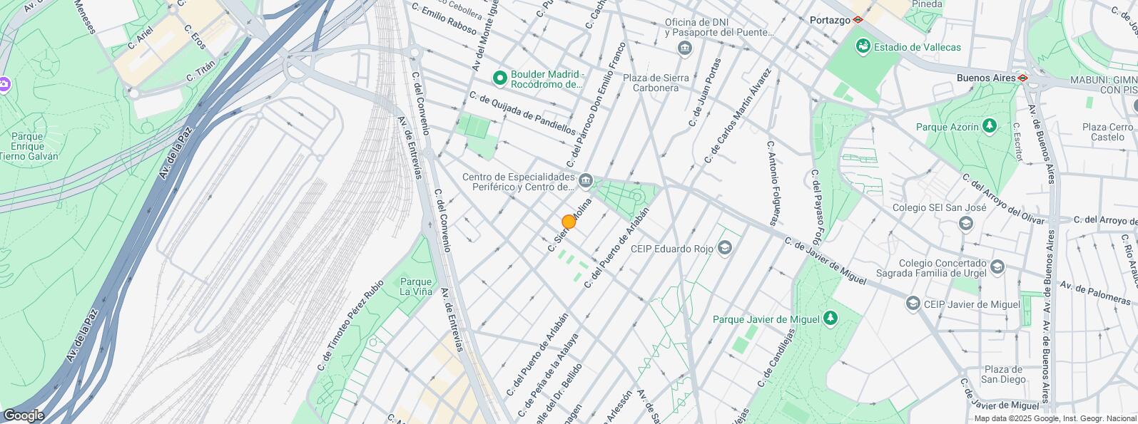
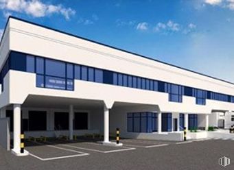
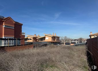
Plot for sale in Vallecas. Located in an area with all services.
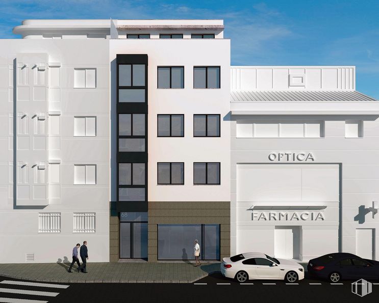
The plot is 155 m2, 20 meters deep with 8 meters of facade.
It has a three-storey building plus an attic and a 12-meter-deep underground level.
The predominant use is residential according to the ordinance of the area. Compatible uses: industrial, tertiary, equipment.
Another plot of the same size and in the same area is also for sale, with the possibility of purchasing both plots. Check prices and conditions.
Unbeatable location with all the services typical of a large neighborhood.
| Bus | Line | Distance |
|---|---|---|
| Pco.Emilio Franco-Palomeras | 24 | 14 m |
| Sierra Molina-Palomeras | 24 | 100 m |
| Sierra Molina-Av.San Diego | 24 | 228 m |
| Manuel Maroto-Av.San Diego | 24 | 229 m |
| Underground | Line | Distance |
|---|---|---|
| Nueva Numancia | 1 | 733 m |
| Portazgo | 1 | 834 m |
| Puente de Vallecas | 1 | 952 m |
| Commuter train | Line | Distance |
|---|---|---|
| Asamblea de Madrid-Entrevías | C1, C2, C7 | 983 m |
| Méndez Alvaro | C1, C5, C7, C10 | 1 km |
| El Pozo | C1, C2, C7 | 2 km |
| Delicias | C1, C7, C10 | 3 km |
| Transport Node | Distance |
|---|---|
| Estación de Autobuses de Méndez Álvaro | 1 km |
| Estación de Atocha Renfe | 3 km |
| Estación de Madrid-Chamartín | 9 km |
| Aeropuerto Adolfo Suárez-Madrid Barajas | 11 km |
| Commercial areas | Distance |
|---|---|
| Mercado Municipal de Puente de Vallecas | 623 m |
| C.C. Méndez Álvaro - Tiendas El Corte Inglés | 902 m |
| Mercado Municipal de Numancia | 922 m |
| Hipercor Méndez Álvaro | 925 m |
| Hotels | Distance |
|---|---|
| Hotel Ibis Budget Madrid 30 * | 765 m |
| Hotel Claridge **** | 2 km |
| Rafael Hoteles Atocha **** | 2 km |
| Public Administration | Distance |
|---|---|
| Administración de Aduanas Madrid - Ferrocarril | 637 m |
| Junta Municipal de Distrito. Puente de Vallecas | 776 m |
| TGSS - Administración Nº 84 y Unidad de Recaudación Ejecutiva -Nº 6 Y Nº 8 | 791 m |
| Asamblea de Madrid | 925 m |
| Oficinas de empleo de Nueva Numancia | 1 km |
| Health | Distance |
|---|---|
| C.E. Vicente Soldevilla | 86 m |
| Centro de Salud Vicente Soldevilla | 87 m |
| Protection and security | Distance |
|---|---|
| Tramitación de DNI y pasaporte - Madrid - Puente de Vallecas | 403 m |
| Sección Aduanas de Abroñigal | 707 m |
| Policía Municipal (OAC) Puente de Vallecas | 1 km |
| Parque de Bomberos de Madrid Nº 8. Puente de Vallecas | 1 km |
| Base de socorro de la Cruz Roja de Madrid. Avda. Moratalaz 50-52 | 2 km |
| Other points of interest | Distance |
|---|---|
| Farmacia Calle del Párroco Don Emilio Franco 66, Madrid | 13 m |
| Farmacia Calle de Sierra Molina 9, Madrid | 132 m |
| Gasolinera Avenida Monte Igueldo, 108 | 312 m |
| Parque Palomeras Bajas | 795 m |
| Parque Cerro del Tío Pío | 1 km |
| Parking mixto. Calle Fernández Shaw | 2 km |
| Parking mixto. Pza. del Conde de Casal | 2 km |
Puente de Vallecas


