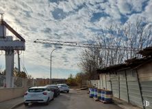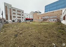

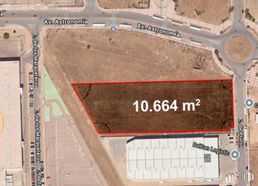
- Direct management with the Naves Arenas property, without intermediary fees
- Industrial plot with a high percentage of buildability
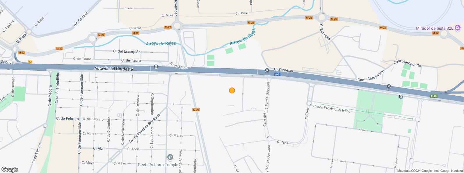
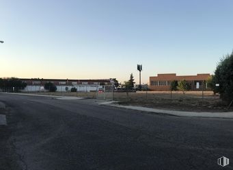
- In a consolidated industrial area
- Excellent communications by private transport
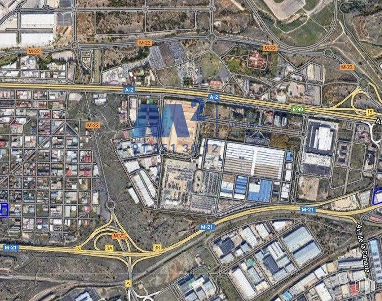

ref: 12586
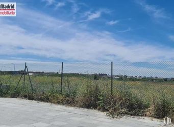
Industrial land consisting of 2 adjoining plots with a total of 2,602 m2, of which 1,076 m2 are consolidated (NZ 9.5) and 1,596 m2 in EU 20,425.
Plot Ordinance 9 Grade 5. Area 1,076 m2 according to the Cadastre and 1,323 m2 according to the Registry, discounting the transfer of public roads and the assumption of urbanization costs, there is a net area of building land of approximately 1,596 m2.
- Buildability: 2 m2/m2.
- Border spacing: 4 meters with the possibility of attaching it to a side border.
- Position compared to official alignment: 6 meters.
- Building height: 5 floors/20 m.
- Tree protection: 5 meters from the plot enclosure line.
- Qualified use: industrial.
- Associated uses: residential and tertiary.
- Complementary uses: tertiary and endowment.
- Alternative uses: endowment and tertiary in an exclusive building (1.6 m2/m2).
- Authorizable use: tertiary large commercial area (1.6 m2/m2).
Plot of 1,596 m2 in Execution Unit 20,425, with Delimitation Project finally approved in June 2014 and Reparcellation Project pending drafting.
| Interurban bus | Line | Distance |
|---|---|---|
| Alcala de Henares - Ctra. A2 - Hotel | 223, 227, 229, N202 | 340 m |
| Commuter train | Line | Distance |
|---|---|---|
| San Fernando de Henares | C1, C2, C7 | 2 km |
| Coslada | C1, C2, C7 | 3 km |
| Transport Node | Distance |
|---|---|
| Aeropuerto Adolfo Suárez-Madrid Barajas | 2 km |
| Área Intermodal de Canillejas | 4 km |
| Estación de Madrid-Chamartín | 11 km |
| Estación de Atocha Renfe | 12 km |
| Commercial areas | Distance |
|---|---|
| C.C. Plenilunio Park | 2 km |
| Carrefour San Fernando | 3 km |
| C.C. Zocoslada | 3 km |
| Parque Comercial Camino Real | 3 km |
| Hotels | Distance |
|---|---|
| Hotel Auditorium Madrid **** | 301 m |
| Hotel Los 5 Pinos *** | 773 m |
| Hotel Nuevo Boston **** | 1 km |
| Public Administration | Distance |
|---|---|
| Administración de Aduanas Madrid - TIR | 1 km |
| Ayuntamiento de Coslada | 2 km |
| Junta Municipal de Distrito. Barajas | 3 km |
| Health | Distance |
|---|---|
| Consultorio de Barrio Estación | 2 km |
| Hospital Monográfico Asepeyo | 3 km |
| Protection and security | Distance |
|---|---|
| U. C. O./Jefatura Serv. Inform./Intervención Telef./Unidad de Seguridad | 2 km |
| Parque de Bomberos de Coslada | 2 km |
| Policía Municipal (OAC) Barajas | 2 km |
| Comisaría - Madrid - Barajas | 2 km |
| Base de socorro de la Cruz Roja de Coslada. Calle Océano Pacífico, 3 | 3 km |
| Other points of interest | Distance |
|---|---|
| Gasolinera Carretera N-II, km. 12'600 (margen derecho) | 470 m |
| Parking público. Calle Virgen de la Cabeza | 2 km |

San Blas - Canillejas


