189 m2 buildable
| 63 m2 plot
Price upon request


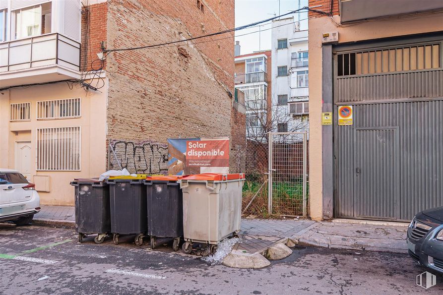
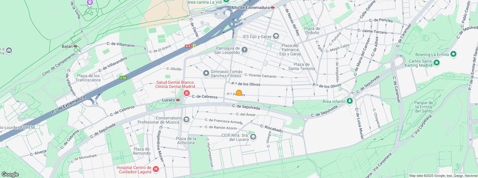
Plot of 100 m2 located in the Puerta del Ángel area in Madrid.
The plot has a maximum buildable area of 215 m2.
Opportunity for investor/developer since several houses can be built.
This is a consolidated residential area with good communications.
| Bus | Line | Distance |
|---|---|---|
| Sepulveda-Huerta Castañeda | 138 | 137 m |
| Sepulveda-Av.Apostoles | 138 | 142 m |
| Sepulveda-Gotarrendura | 138 | 331 m |
| Higueras-Huerta de Castañeda | 31, N18 | 338 m |
| Underground | Line | Distance |
|---|---|---|
| Lucero | 6 | 401 m |
| Alto de Extremadura | 6 | 616 m |
| Laguna | 6 | 802 m |
| Interurban bus | Line | Distance |
|---|---|---|
| Madrid - Pº Olivos - Av. Apóstoles | 500, 500 | 88 m |
| Madrid - Pº Olivos - Huerta de la Castañeda | 500, 500, 500 | 133 m |
| Madrid - Pº Olivos - José María del Boto | 500 | 236 m |
| Commuter train | Line | Distance |
|---|---|---|
| Laguna | C5 | 721 m |
| Pirámides | C1, C7, C10 | 3 km |
| Príncipe Pío | C1, C7, C10 | 3 km |
| Aluche | C5 | 3 km |
| Transport Node | Distance |
|---|---|
| Intercambiador de Principe Pío | 3 km |
| Estación de Atocha Renfe | 4 km |
| Estación de Madrid-Chamartín | 9 km |
| Aeropuerto Adolfo Suárez-Madrid Barajas | 16 km |
| Taxi | Stop | Distance |
|---|---|---|
| Calle de Cebreros, Fte 40 | 10.18 | 420 m |
| Commercial areas | Distance |
|---|---|
| Mercado Municipal de Alto Extremadura | 574 m |
| C.C. Barrio Art Decó | 1 km |
| Mercado Municipal de Tirso de Molina | 2 km |
| Hipercor Vista Alegre | 2 km |
| Hotels | Distance |
|---|---|
| Hotel NH Ribera del Manzanares **** | 2 km |
| Hotel City House Florida Norte by Faranda **** | 2 km |
| Public Administration | Distance |
|---|---|
| Oficinas de empleo de Puerta del Ángel | 2 km |
| TGSS - Administración - Nº 82 y Unidad de Recaudación Ejecutiva - Nº 5 y Nº 11 | 2 km |
| Oficinas de empleo de Agueda Díez | 2 km |
| Junta Municipal de Distrito. Carabanchel | 3 km |
| Administración de la Agencia Tributaria Suroeste | 4 km |
| Health | Distance |
|---|---|
| Centro de Salud Pascual Rodríguez | 252 m |
| Hospital Centro de Cuidados Laguna | 709 m |
| Protection and security | Distance |
|---|---|
| Policía Municipal (Jefatura Madrid) | 972 m |
| Tramitación DNI y Pasaporte - Madrid - Arganzuela - Mediodía | 2 km |
| Parque de Bomberos de Madrid Nº 3. Centro | 2 km |
| Compañía Palacio Real | 3 km |
| Centro de Inserción Social Victoria Kent | 4 km |
| Other points of interest | Distance |
|---|---|
| Farmacia Paseo de los Olivos 108, Madrid | 90 m |
| Farmacia Calle del Ansar 16, Madrid | 196 m |
| Gasolinera Avenida Portugal, 16 | 475 m |
| Parque Cuña Verde | 506 m |
| Parque los Pinos | 1 km |


La Latina


