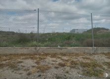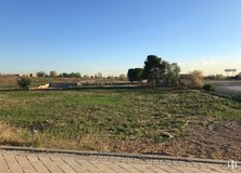

28,000 m2 plot
2,850,000 €
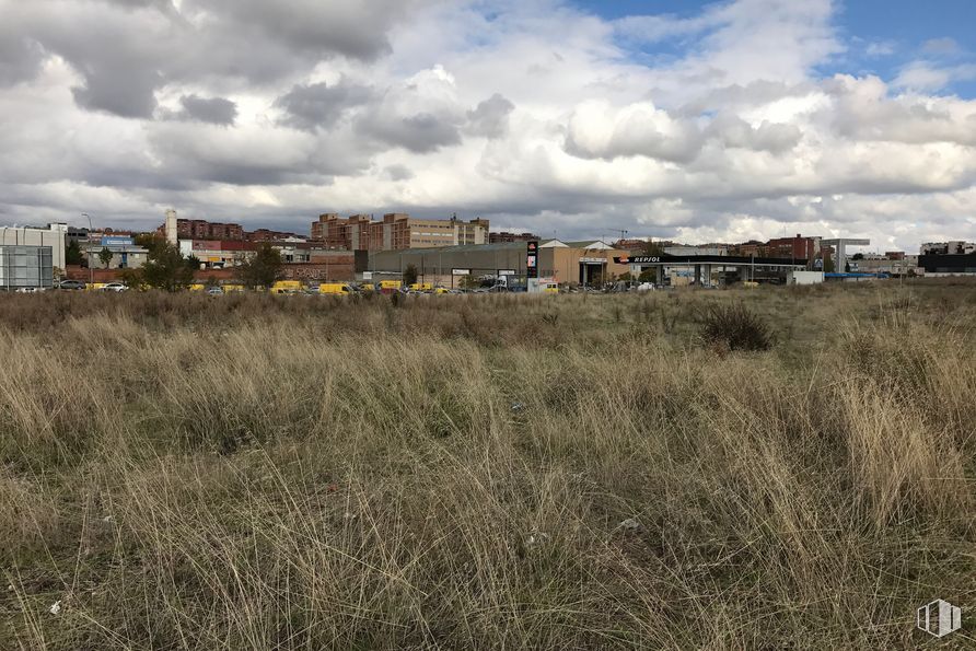
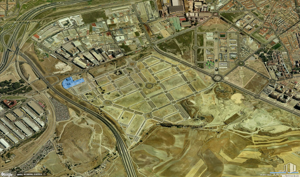
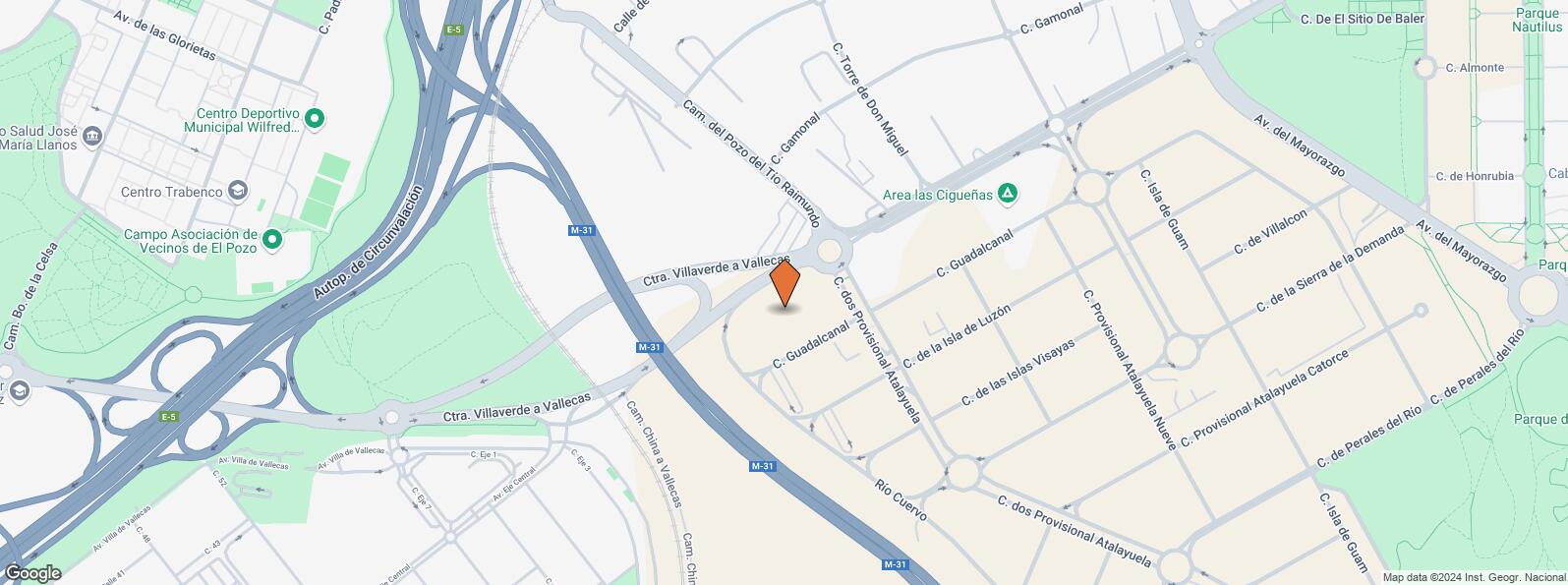
Land available for sale and right surface (long-term rent). It is an area with a total area of 18,190 m2 with an industrial use (industrial park) and a maximum height of 7 floors.
The block contains several plots of different sizes: 3,031 m2, 2,430 m2, 4,092 m2, 2,345 m2, 2,475 m2, 1,910 m2 and 1,907 m2. Excellent opportunity given the greatest advantages offered by the surface right over the classic lease.
Location next to Mercamadrid, at the foot of the Villaverde to Vallecas highway and located in front of the Vallecas polygon. Good communications with the A-4, M-40 and M-45 motorways.
| Bus | Line | Distance |
|---|---|---|
| Cº Pozo Tio Raimundo-Ctra.V.Vallecas | 130 | 200 m |
| Ctra.Villaverde a Vallecas-C.T.M. | 130 | 465 m |
| Cº Hormigueras-Cº Pozo Tio Raimundo | 130, T31 | 474 m |
| Cº Pozo Tio Raimundo-Cº Hormigueras | 130, T31 | 484 m |
| Commuter train | Line | Distance |
|---|---|---|
| El Pozo | C1, C2, C7 | 1 km |
| Asamblea de Madrid-Entrevías | C1, C2, C7 | 2 km |
| Vallecas | C1, C2, C7 | 2 km |
| Transport Node | Distance |
|---|---|
| Estación de Autobuses de Méndez Álvaro | 4 km |
| Estación de Atocha Renfe | 6 km |
| Estación de Madrid-Chamartín | 12 km |
| Aeropuerto Adolfo Suárez-Madrid Barajas | 12 km |
| Commercial areas | Distance |
|---|---|
| Carrefour Madrid Sur | 2 km |
| C.C. Madrid Sur | 2 km |
| Mercado Municipal Mediodía - Entrevías | 2 km |
| Mercado Municipal de Villa de Vallecas | 2 km |
| Hotels | Distance |
|---|---|
| Hotel Etap Vallecas * | 640 m |
| Hotel Diana Plus **** | 1 km |
| Hotel Mercader **** | 2 km |
| Public Administration | Distance |
|---|---|
| Junta Municipal de Distrito. Villa de Vallecas | 2 km |
| Administración de Aduanas Madrid - Ferrocarril | 3 km |
| Ayuntamiento de Madrid | 7 km |
| Health | Distance |
|---|---|
| C.E. Federica Montseny | 2 km |
| Hospital Virgen de La Torre | 3 km |
| Protection and security | Distance |
|---|---|
| Policía Municipal (OAC) Puente de Vallecas | 2 km |
| Comisaría tramitación de DNI y pasaporte - Madrid - Villa de Vallecas | 2 km |
| Parque de Bomberos de Madrid Nº 8. Puente de Vallecas | 3 km |
| Base de socorro de la Cruz Roja de Madrid. Avda. Moratalaz 50-52 | 4 km |
| Unidad de Madres Jaime Garralda | 5 km |
| Other points of interest | Distance |
|---|---|
| Gasolinera Carretera de Villaverde a Vallecas nº 248 | 187 m |
Villa de Vallecas


