Land for sale  85 m2 plot 
170,000 € 

  • Finalist land for sale
  • Intended for residential use
  • Located in a consolidated area
Verified Listing

The content of this page has been verified by the Belbex Research team – CoStar Group

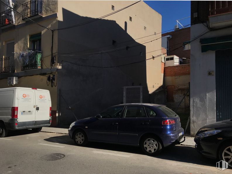
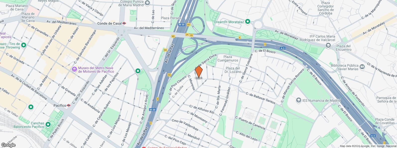
Land for sale in the area of Puente de Vallecas in Madrid.

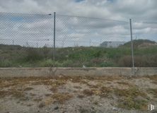
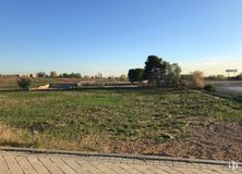
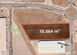
The plot has a total area of 85 m2 and its use is residential. By regulation you can build ground floor plus 2 heights and garage under ground floor.

The plot is located in a fully consolidated area so the plot is very attractive commercially.

It enjoys excellent transport communication as it is close to the M-30 ring road and the A-3 motorway.

Last updated 3 months ago

Location map

Map loading...
Contact

Transport

BusLineDistance
Av.Peña Prieta-Pilar Rueda8, 11392 m
Sta.Marta-Dr.Lozano8, 113160 m
Sierra Elvira-Julian del Cerro8, 113163 m
Alfonso XIIi-Peña Prieta8, 113201 m
UndergroundLineDistance
Puente de Vallecas1731 m
Conde de Casal6750 m
Nueva Numancia1846 m
Estrella9917 m
Interurban busLineDistance
Madrid - Av. Mediterráneo - Conde Casal312, 313, 326, 341, 312A, N303500 m
Commuter trainLineDistance
Méndez AlvaroC1, C5, C7, C102 km
AtochaC1, C2, C3, C4, C5, C7, C8, C8a, C8b, C102 km
Asamblea de Madrid-EntrevíasC1, C2, C73 km
DeliciasC1, C7, C103 km
Transport NodeDistance
Área Intermodal de Conde de Casal673 m
Estación de Atocha Renfe2 km
Estación de Madrid-Chamartín8 km
Aeropuerto Adolfo Suárez-Madrid Barajas10 km
TaxiStopDistance
Calle de la Sierra Toledana, 1313.05391 m

Points of interest

Commercial areasDistance
Mercado Municipal de Doña Carlota191 m
Mercado Municipal de Puente de Vallecas970 m
Alcampo Moratalaz1 km
C.C. Vinateros1 km
HotelsDistance
Hotel Claridge ****582 m
Hotel Ayre Gran Hotel Colón ****1 km
Hotel AC Palacio del Retiro *****3 km
Public AdministrationDistance
Oficinas de empleo de Nueva Numancia101 m
Junta Municipal de Distrito. Puente de Vallecas789 m
Administración de la Agencia Tributaria Vinateros1 km
Oficinas de empleo de Atocha2 km
Ayuntamiento de Madrid3 km
HealthDistance
Centro de Salud Numancia478 m
C.E. Peña Prieta - Hermanos Sangró665 m
Protection and securityDistance
Base de socorro de la Cruz Roja de Madrid. Avda. Moratalaz 50-52662 m
I.Armas y Explosivos - Madrid970 m
Comisaría - Madrid - Puente de Vallecas1 km
Policía Municipal (OAC) Retiro1 km
Parque de Bomberos de Madrid Nº 8. Puente de Vallecas1 km
Other points of interestDistance
Farmacia Calle del Doctor Lozano 11, Madrid131 m
Farmacia Calle de Santa Beatriz 17, Madrid213 m
Gasolinera Avenida Moratalaz, 21552 m
Parking mixto. Calle Fernández Shaw589 m
Parking mixto. Pza. del Conde de Casal589 m
Parque Cerro del Tío Pío1 km
Jardín de Plantas Aromáticas y Táctiles del Parque1 km

Puente de Vallecas

Puente de Vallecas

Puente de Vallecas

Puente de Vallecas district covers an area of 1,489.14 hectares and is located to the southeast of Madrid. It is one of the most populated areas of the capital. It borders to the east with Villa de Vallecas, separated from it by Avenida de la Democracia, the Madrid - Zaragoza railway line and the M-40; to the north with Moratalaz, separated by the A3; to the west with Retiro and Arganzuela, separated by the M30 and to the southeast with Usera, separated by the River Manzanares. Cerro del Tío Pío Park is located in Puente de Vallecas District, and is one of Madrid’s viewpoints and one of the most popular green areas in the southern part of the city.
Recommended lands for sale
See more land spaces for sale in Puente de Vallecas