Land for sale  922 m2 plot 
168,000 € 

  • Industrial/commercial solar
  • Consolidated business and industrial zone
  • Excellent accessibility by public transport and road
Verified Listing

The content of this page has been verified by the Belbex Research team – CoStar Group

Ref.: CAN0000195035

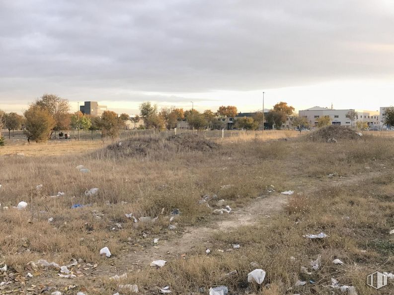
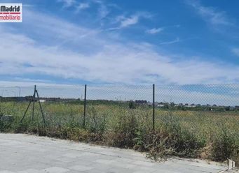
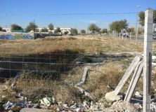
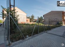
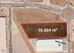
Sale of a plot for tertiary use of 922 m2 located in Villaverde.

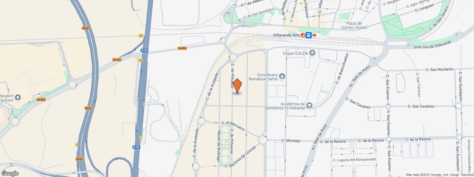
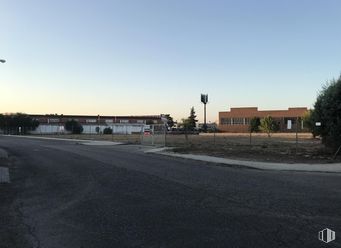
The land has industrial/commercial use and is located in the El Gato industrial estate. This is a consolidated business and industrial area with excellent accessibility by public transport (Villaverde Alto metro station and the suburbs of Villaverde Alto a 9-minute walk away) and road. Quick and easy access to the A-42, M-45 and M-40.

Last updated 2 months ago

Location map

Map loading...
Contact

Transport

BusLineDistance
Valle de Tobalina-BascuñuelosT41197 m
Ciudad de Frias-BascuñuelosT41296 m
Valle de Tobalina, 46T41302 m
Domingo Parraga-PºferroviariosT41314 m
UndergroundLineDistance
Villaverde Alto3472 m
Interurban busLineDistance
Madrid - Domingo Párraga - Poligono Industrial432331 m
Madrid - Domingo Parraga - Sta. Joaquina Vedruna432483 m
Leganes - Domingo Parraga - Sta. Joaquina Vedruna432492 m
Commuter trainLineDistance
Villaverde AltoC4, C5616 m
Puente AlcocerC52 km
San Cristóbal IndustrialC32 km
Las Margaritas UniversidadC42 km
Transport NodeDistance
Estación de Atocha Renfe8 km
Estación de Madrid-Chamartín15 km
Aeropuerto Adolfo Suárez-Madrid Barajas18 km

Points of interest

Commercial areasDistance
Mercado Municipal de Villaverde Alto1 km
Hipercor El Bercial1 km
Carrefour Getafe1 km
C.C. El Bercial - Tiendas El Corte Inglés1 km
HotelsDistance
Hotel - Apto. Asador de Enrique ***272 m
Hotel Parquesur ****1 km
Hotel H2 Getafe ****3 km
Public AdministrationDistance
Oficinas de empleo de Villaverde1 km
TGSS - Unidad de Recaudación Ejecutiva - Nº 131 km
Junta Municipal de Distrito. Villaverde1 km
Oficinas de empleo de Leganés II2 km
Administración de la Agencia Tributaria Getafe3 km
HealthDistance
Centro de Salud San Andrés643 m
C.E. Villaverde Cruce2 km
Protection and securityDistance
Parque de Bomberos de Madrid Nº 10. Villaverde912 m
Policía Municipal (OAC) Villaverde2 km
Desto./Compañía de Conducciones (UPROSE)3 km
Comisaría tramitación de DNI y pasaporte - Madrid - Usera - Villaverde 13 km
Base de socorro de la Cruz Roja de Leganés. Avda. Derechos Humanos 24 km
Other points of interestDistance
Gasolinera Calle Valle de Tobalina nº 24318 m
Farmacia Paseo de Alberto Palacios 49, Madrid669 m
Farmacia Calle de Alberto Palacios 20, Madrid682 m
Parking público. Avda. Bélgica2 km

Villaverde

Villaverde

Villaverde

Villaverde District covers an area of 2,028.65 hectares and is located in the southern side of the town, including the quarters of Villaverde Alto, San Cristóbal, Butarque, Los Rosales and Los Ángeles. It borders to the west with the town of Leganés, to the south with the town of Getafe, to the east with Villa de Vallecas District and to the north with Usera District.
Nearby lands for sale
See more land spaces for sale in Villaverde