Land for sale  486 m2 buildable | 1,312 m2 plot 
181,000 € | 372 €/m2 

  • Consolidated residential area
  • Multiple possibilities
  • Good communications
Verified Listing

The content of this page has been verified by the Belbex Research team – CoStar Group

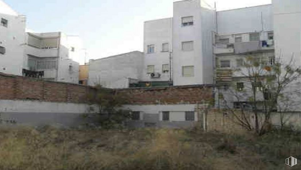
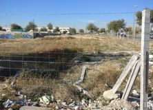
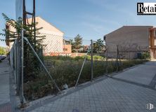
Urban land in Madrid for residential use.

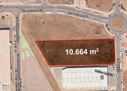
It has an area of 1,258 m2 and a maximum buildable area of 486 m2.

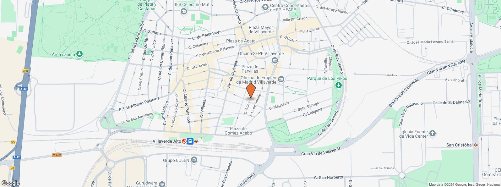
It is located in an area equipped with all the necessary services, close to Plaza de Gómez Acebo and the Villaverde Alto metro and train station (line 3).

Last updated 2 months ago

Location map

Map loading...
Contact

Transport

BusLineDistance
Domingo Parraga-Av.Real de Pinto79, N14185 m
Dr.Martin Arevalo-Pº Alberto Palacios130291 m
Dr.Martin Arevalo-Av.Real de Pinto22, 86, 130, 131297 m
Pza.De Agata-Dr.Martin Arevalo22, 79, 86307 m
UndergroundLineDistance
Villaverde Alto3528 m
Interurban busLineDistance
Getafe - Av. Real de Pinto - Col. Butano448108 m
Madrid - Av. Real de Pinto - Col. Butano432, 448111 m
Commuter trainLineDistance
Villaverde AltoC4, C5377 m
Puente AlcocerC5793 m
San Cristóbal IndustrialC32 km
San Cristóbal de los AngelesC32 km
Transport NodeDistance
Intercambiador de Plaza Elíptica5 km
Estación de Atocha Renfe7 km
Estación de Madrid-Chamartín14 km
Aeropuerto Adolfo Suárez-Madrid Barajas17 km
TaxiStopDistance
Paseo de Alberto Palacios, 117.09319 m

Points of interest

Commercial areasDistance
Mercado Municipal de Villaverde Alto382 m
Carrefour Getafe2 km
C.C. Boulevard Getafe2 km
Parque Comercial ParqueSur2 km
HotelsDistance
Hotel Parquesur ****2 km
Public AdministrationDistance
Oficinas de empleo de Villaverde214 m
TGSS - Unidad de Recaudación Ejecutiva - Nº 13340 m
Junta Municipal de Distrito. Villaverde630 m
Administración de la Agencia Tributaria Getafe4 km
Ayuntamiento de Getafe5 km
HealthDistance
Centro de Salud San Andrés386 m
C.E. Villaverde Cruce1 km
Protection and securityDistance
Parque de Bomberos de Madrid Nº 10. Villaverde428 m
Policía Municipal (OAC) Villaverde850 m
Comisaría tramitación de DNI y pasaporte - Madrid - Usera - Villaverde 12 km
Other points of interestDistance
Farmacia CalleJON de Gómez Acebo 5, Madrid107 m
Farmacia Avenida de Espinela 31, Madrid133 m
Gasolinera Avenida Real de Pinto, 106536 m
Parque Dehesa Boyal2 km

Villaverde

Villaverde

Villaverde

Villaverde District covers an area of 2,028.65 hectares and is located in the southern side of the town, including the quarters of Villaverde Alto, San Cristóbal, Butarque, Los Rosales and Los Ángeles. It borders to the west with the town of Leganés, to the south with the town of Getafe, to the east with Villa de Vallecas District and to the north with Usera District.
Nearby lands for sale
See more land spaces for sale in Villaverde