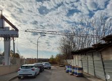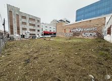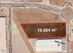
Land for sale  800 m2 buildable | 811 m2 plot 
500,000 € 

  • Very versatile spacious floor
  • Good location with wide façade
  • Residential area in expansion
Verified Listing

The content of this page has been verified by the Belbex Research team – CoStar Group

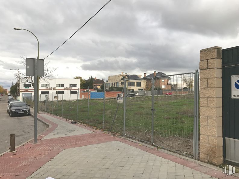
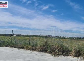
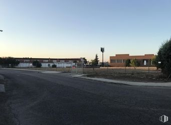
Wide finalist land for residential use.

It is located in an expanding residential area of Madrid.

It has 800 m2 of surface area, with a rectangular shape very comfortable and versatile for construction, with the possibility of building another 800 m2 distributed over 2 floors.

It has a wide façade of 20 linear meters and a background of 40 meters.

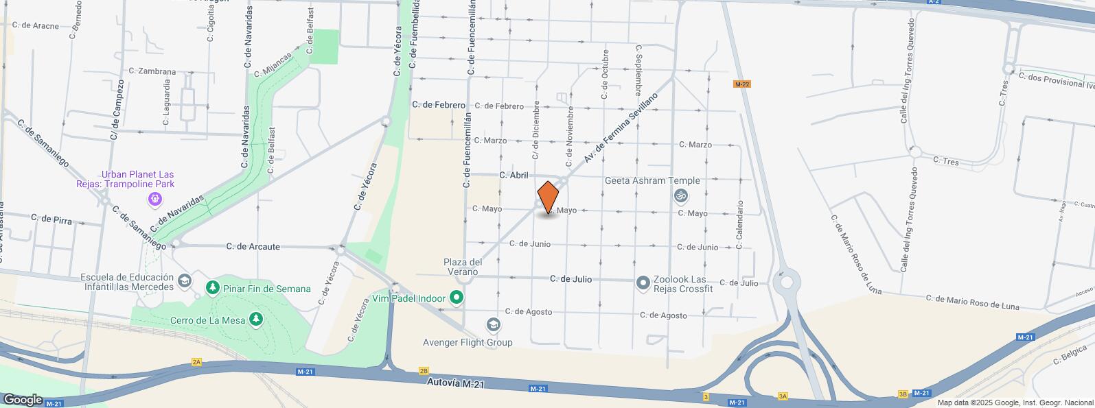
It is well connected, situated in an industrial and business estate between the A2 and M21.

Last updated 3 months ago

Location map

Map loading...
Contact

Transport

BusLineDistance
Av. Fermina Sevillano-Diciembre77, N554 m
Av.Fermina Sevillano-Mayo7767 m
Diciembre-Febrero77287 m
Gascueña-Fuensaviñan77455 m
Commuter trainLineDistance
CosladaC1, C2, C72 km
San Fernando de HenaresC1, C2, C73 km
Transport NodeDistance
Aeropuerto Adolfo Suárez-Madrid Barajas2 km
Área Intermodal de Canillejas3 km
Estación de Madrid-Chamartín10 km
Estación de Atocha Renfe11 km

Points of interest

Commercial areasDistance
C.C. Plenilunio Park2 km
C.C. Zocoslada3 km
Carrefour San Fernando3 km
Parque Comercial Camino Real4 km
HotelsDistance
Hotel Los 5 Pinos ***579 m
Hotel Nuevo Boston ****847 m
Hotel Auditorium Madrid ****1 km
Public AdministrationDistance
Administración de Aduanas Madrid - TIR1 km
INSS - Centros Comarcales - Nº 72 km
Ayuntamiento de Coslada2 km
Junta Municipal de Distrito. Barajas3 km
HealthDistance
Consultorio de Barrio Estación3 km
Protection and securityDistance
U. C. O./Jefatura Serv. Inform./Intervención Telef./Unidad de Seguridad1 km
Policía Municipal (OAC) Barajas1 km
Parque de Bomberos de Coslada2 km
Comisaría - Madrid - Barajas2 km
Base de socorro de la Cruz Roja de Coslada. Calle Océano Pacífico, 33 km
Other points of interestDistance
Gasolinera Carretera N-II, km. 12'600 (margen derecho)646 m
Farmacia Calle de Nanclares de Oca 14, Madrid687 m
Parking público. Calle Virgen de la Cabeza2 km
Parking público. Aeropuerto de Madrid - Barajas2 km

San Blas - Canillejas

San Blas - Canillejas

San Blas - Canillejas

The San Blas - Canillejas District covers an area of 2,181.21 hectares and is located at the east of the capital. It includes quarters such as Simancas, Hellín, Amposta, Arcos, Rosas, Canillejas and Salvador. It borders to the north with the Hortaleza and Barajas districts; to the east with San Fernando de Henares, Coslada and Vicálvaro District; to the south with Vicálvaro, and to the west with Ciudad Lineal.