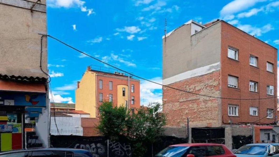
Calle Martínez de la Riva, 8 Puente de Vallecas, Madrid 28053
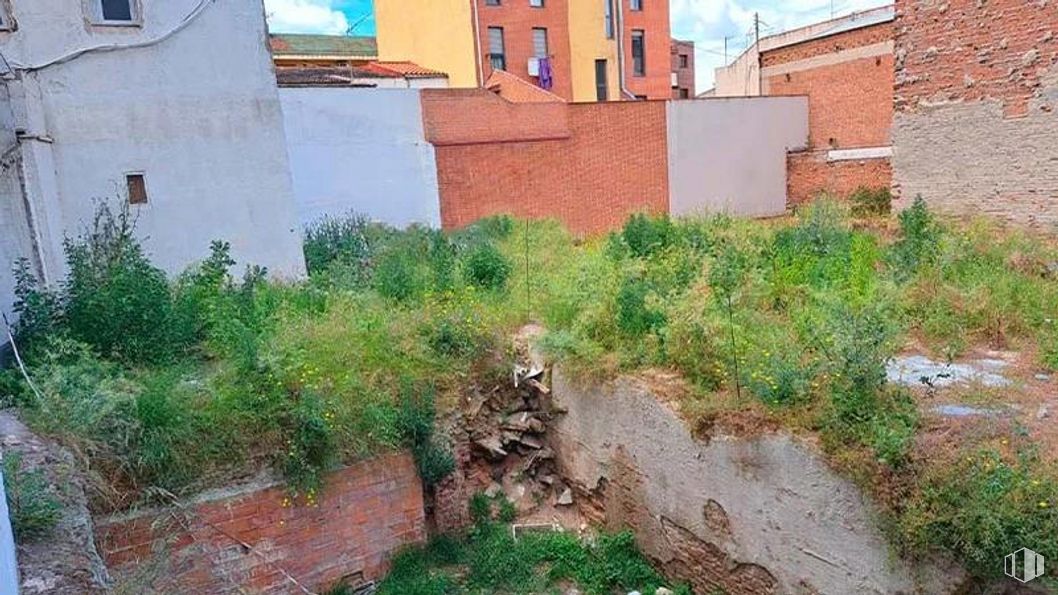
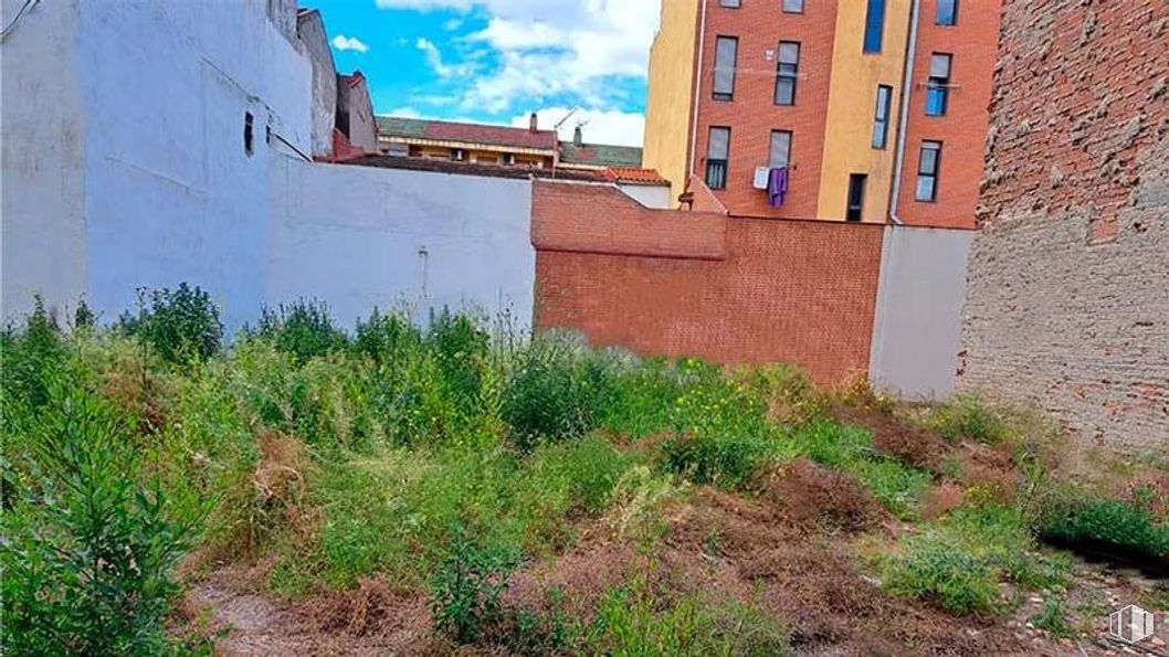
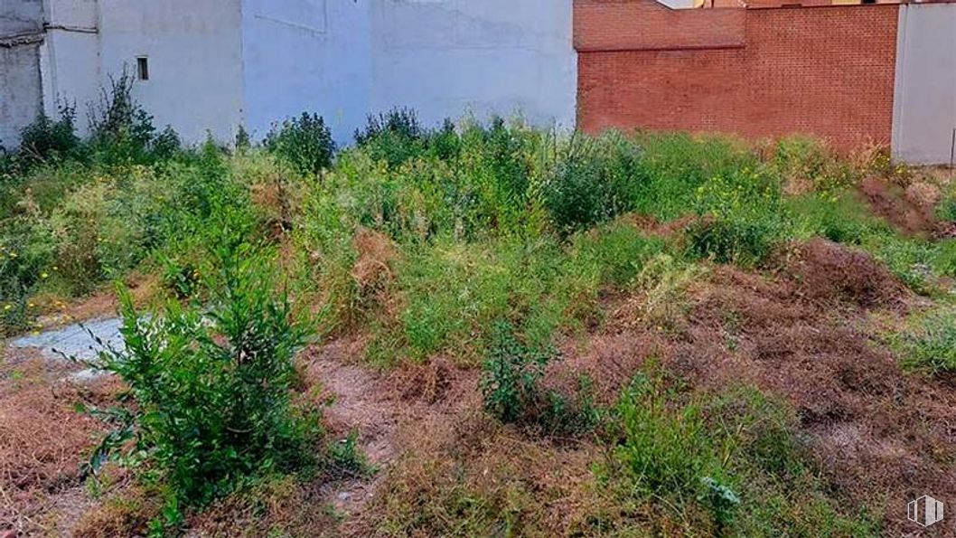
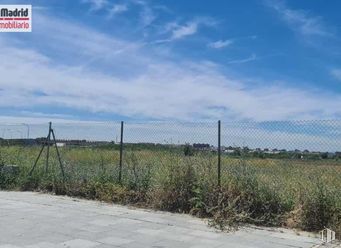
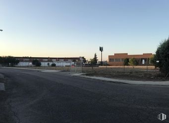
Land for sale1,014 m2 plot Price upon request
Urban land for high-rise housing construction
Excellent location next to the Puente de Vallecas market
Consolidated area with good communication and full services around
Verified Listing
The content of this page has been verified by the Belbex Research team – CoStar Group
Ref.: SRB0000020217
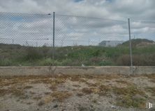
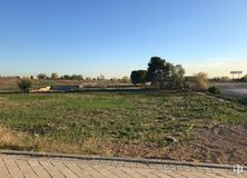
Sale of 1,014 m2 urban plot located in the San Diego neighborhood.
The asset is ideal for building high-rise housing and is located in a privileged location in Puente de Vallecas, right next to the municipal market. Immediate environment with all kinds of services and shops around and good communication by public transport (Numancia metro and Puente de Vallecas).
Easy and quick access to the M-30.
Last updated 1 month ago
Location map
Map loading...
Contact
Transport
Bus
Line
Distance
Arroyo Olivar-Martinez Riva
10, 24, 111, 310
63 m
Martinez de la Riva-Arroyo del Olivar
10, 24, 111, 310
105 m
Av.Albufera-Pto.Alcolea
10, 24, 54, 57, 58, 111, 136, 310, N10, N25
247 m
Monte Igueldo-Maria Bosch
10, 24, 111, 310
257 m
Underground
Line
Distance
Nueva Numancia
1
260 m
Puente de Vallecas
1
413 m
Portazgo
1
742 m
Pacífico
1, 6
981 m
Commuter train
Line
Distance
Méndez Alvaro
C1, C5, C7, C10
952 m
Asamblea de Madrid-Entrevías
C1, C2, C7
2 km
El Pozo
C1, C2, C7
2 km
Delicias
C1, C7, C10
2 km
Transport Node
Distance
Estación de Autobuses de Méndez Álvaro
923 m
Estación de Atocha Renfe
2 km
Estación de Madrid-Chamartín
9 km
Aeropuerto Adolfo Suárez-Madrid Barajas
11 km
Points of interest
Commercial areas
Distance
Mercado Municipal de Puente de Vallecas
94 m
Hipercor Méndez Álvaro
764 m
C.C. Méndez Álvaro - Tiendas El Corte Inglés
766 m
Mercado Municipal de Numancia
787 m
Hotels
Distance
Hotel NH Madrid Sur ***
529 m
Hotel Claridge ****
1 km
Rafael Hoteles Atocha ****
2 km
Public Administration
Distance
Junta Municipal de Distrito. Puente de Vallecas
213 m
Administración de Aduanas Madrid - Ferrocarril
757 m
Oficinas de empleo de Nueva Numancia
921 m
Oficinas de empleo de Atocha
2 km
Ayuntamiento de Madrid
3 km
Health
Distance
Centro de Salud Martínez de la Riva
334 m
C.E. Peña Prieta - Hermanos Sangró
450 m
Protection and security
Distance
Tramitación de DNI y pasaporte - Madrid - Puente de Vallecas
391 m
I.Armas y Explosivos - Madrid
558 m
Policía Municipal (OAC) Retiro
1 km
Parque de Bomberos de Madrid Nº 8. Puente de Vallecas
1 km
Base de socorro de la Cruz Roja de Madrid. Avda. Moratalaz 50-52
Puente de Vallecas district covers an area of 1,489.14 hectares and is located to the southeast of Madrid. It is one of the most populated areas of the capital. It borders to the east with Villa de Vallecas, separated from it by Avenida de la Democracia, the Madrid - Zaragoza railway line and the M-40; to the north with Moratalaz, separated by the A3; to the west with Retiro and Arganzuela, separated by the M30 and to the southeast with Usera, separated by the River Manzanares. Cerro del Tío Pío Park is located in Puente de Vallecas District, and is one of Madrid’s viewpoints and one of the most popular green areas in the southern part of the city.