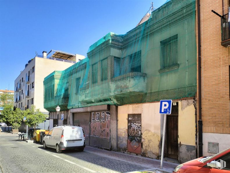
Land for sale  360 m2 buildable | 120 m2 plot 
498,000 € | 1,383 €/m2 

  • Ideal for promoters
  • Very bright solar
  • Excellent location in Vallecas
Verified Listing

The content of this page has been verified by the Belbex Research team – CoStar Group

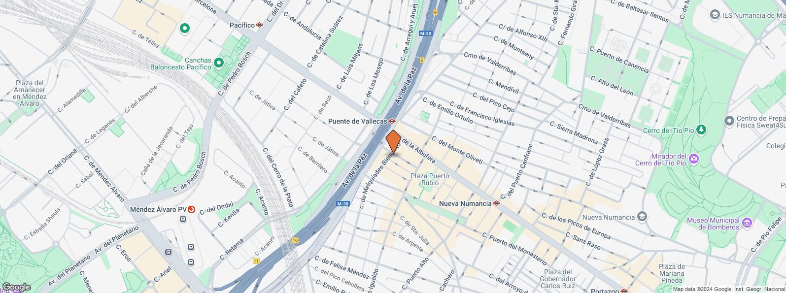
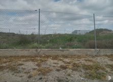
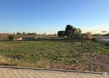
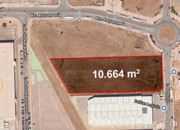
Plot for sale in the Puente de Vallecas area, in Madrid.

It has a total area of 120 m2 and a building area of 360 m2. The existing building would have to be demolished beforehand. It is located in the urban area NZ4. You can build a ground floor plus 2 floors with attic. Probability of building more heights after consulting urban planning.

One minute from the metro and the M30, next to schools, markets and leisure area.

Last updated 3 months ago

Location map

Map loading...
Contact

Transport

BusLineDistance
Monte Igueldo-Maria Bosch10, 24, 111, 31083 m
Intercambiador Pte.Vallecas37, 56, 58, 111103 m
Cerro Negro-Gandia113150 m
Pte.Vallecas-M3058, 111165 m
UndergroundLineDistance
Puente de Vallecas1102 m
Nueva Numancia1425 m
Pacífico1, 6673 m
Méndez Alvaro6892 m
Commuter trainLineDistance
Méndez AlvaroC1, C5, C7, C10812 m
Asamblea de Madrid-EntrevíasC1, C2, C72 km
DeliciasC1, C7, C102 km
AtochaC1, C2, C3, C4, C5, C7, C8, C8a, C8b, C102 km
Transport NodeDistance
Estación de Autobuses de Méndez Álvaro822 m
Estación de Atocha Renfe2 km
Estación de Madrid-Chamartín8 km
Aeropuerto Adolfo Suárez-Madrid Barajas11 km

Points of interest

Commercial areasDistance
Mercado Municipal de Puente de Vallecas236 m
Hipercor Méndez Álvaro660 m
C.C. Méndez Álvaro - Tiendas El Corte Inglés679 m
Mercado Municipal de Doña Carlota915 m
HotelsDistance
Hotel Claridge ****990 m
Rafael Hoteles Atocha ****2 km
Hotel AC Palacio del Retiro *****3 km
Public AdministrationDistance
Junta Municipal de Distrito. Puente de Vallecas223 m
Oficinas de empleo de Nueva Numancia756 m
Administración de Aduanas Madrid - Ferrocarril826 m
Oficinas de empleo de Atocha2 km
Ayuntamiento de Madrid3 km
HealthDistance
C.E. Peña Prieta - Hermanos Sangró159 m
Centro de Salud Peña Prieta-Especialidades165 m
Protection and securityDistance
Tramitación de DNI y pasaporte - Madrid - Puente de Vallecas709 m
Policía Municipal (OAC) Retiro740 m
I.Armas y Explosivos - Madrid759 m
Parque de Bomberos de Madrid Nº 8. Puente de Vallecas1 km
Base de socorro de la Cruz Roja de Madrid. Avda. Moratalaz 50-521 km
Other points of interestDistance
Farmacia Avenida de la Albufera 12, Madrid72 m
Farmacia Avenida del Monte Igueldo 14, Madrid91 m
Gasolinera Avenida Albufera, 89684 m
Parking mixto. Calle Fernández Shaw956 m
Parking mixto. Pza. del Conde de Casal956 m
Parque Cerro del Tío Pío1 km
Parque Enrique Tierno Galván (Madrid)1 km

Puente de Vallecas

Puente de Vallecas

Puente de Vallecas

Puente de Vallecas district covers an area of 1,489.14 hectares and is located to the southeast of Madrid. It is one of the most populated areas of the capital. It borders to the east with Villa de Vallecas, separated from it by Avenida de la Democracia, the Madrid - Zaragoza railway line and the M-40; to the north with Moratalaz, separated by the A3; to the west with Retiro and Arganzuela, separated by the M30 and to the southeast with Usera, separated by the River Manzanares. Cerro del Tío Pío Park is located in Puente de Vallecas District, and is one of Madrid’s viewpoints and one of the most popular green areas in the southern part of the city.
Recommended lands for sale
See more land spaces for sale in Puente de Vallecas