

2,662 m2 plot
3,500 €/mo


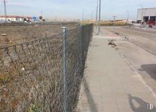
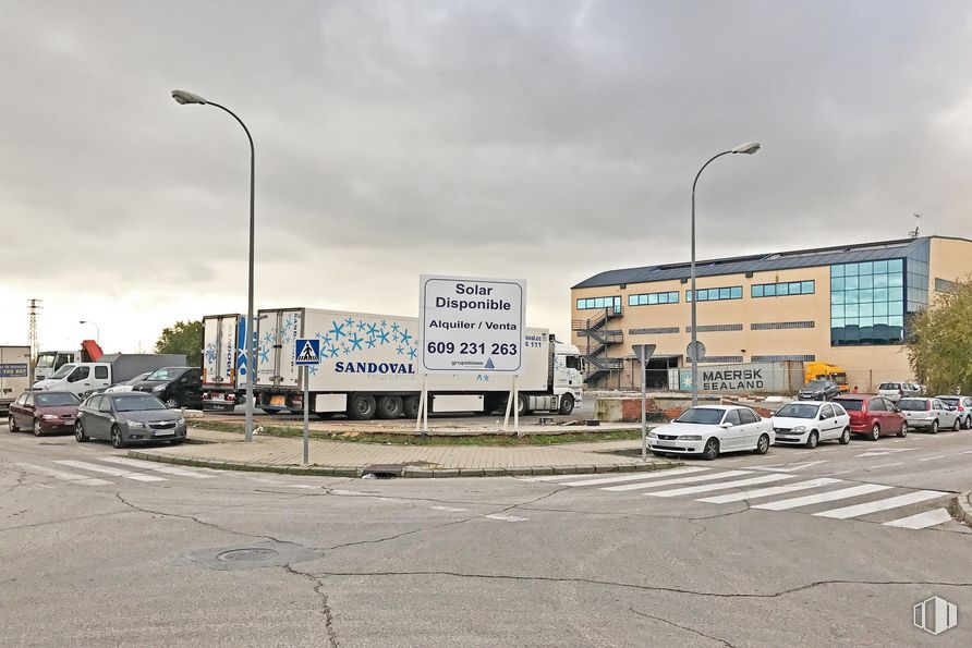
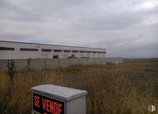
Plot of land of 6,257 m2 buildable above ground and 607 m2 buildable in the basement, available for sale and rent.
The so-called Plot 22 has 3,618.13 m2 and is located in Block “C” of the industrial estate of San José de Valderas-Sanahuja.
Maximum occupancy of 60% above ground level and maximum buildability in the basement of 30%. Setbacks of 10 meters to the main road and 6 meters to the secondary road.
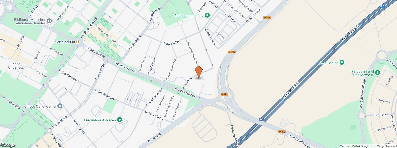
Location in the municipality of Leganés, with good connectivity to the R-5, A-5 and M-406 motorways.
| Underground | Line | Distance |
|---|---|---|
| Puerta del Sur | 10, 12 | 939 m |
| Joaquín Vilumbrales | 10 | 1 km |
| Parque de Lisboa | 12 | 2 km |
| Interurban bus | Line | Distance |
|---|---|---|
| Alcorcon - Fábricas - Ebanistas | 513 | 498 m |
| Alcorcon - Ministro Fdez. Ordóñez - Av. del Pinar | 514 | 564 m |
| Alcorcon - Fábricas - Pintores | 513 | 595 m |
| Commuter train | Line | Distance |
|---|---|---|
| San Jose de Valderas | C5 | 2 km |
| Alcorcón | C5 | 3 km |
| Leganés | C5 | 3 km |
| Las Retamas | C5 | 3 km |
| Transport Node | Distance |
|---|---|
| Estación de Atocha Renfe | 12 km |
| Estación de Madrid-Chamartín | 18 km |
| Aeropuerto Adolfo Suárez-Madrid Barajas | 23 km |
| Commercial areas | Distance |
|---|---|
| C.C. San José de Valderas - Tiendas El Corte Inglés | 2 km |
| Hipercor San José de Valderas | 2 km |
| C.C. Sambil Oulet | 3 km |
| Parque Comercial Plaza Nueva | 4 km |
| Hotels | Distance |
|---|---|
| Hotel Ibis Madrid Alcorcón Tres Aguas ** | 2 km |
| Hotel NH Alcorcón **** | 4 km |
| Hotel Menoir Dorsett **** | 5 km |
| Public Administration | Distance |
|---|---|
| Administración de la Agencia Tributaria Alcorcón | 743 m |
| Primera Instancia e Instrucción - Violencia sobre la Mujer | 1 km |
| Oficinas de empleo de Alcorcón II | 2 km |
| Ayuntamiento de Alcorcón | 2 km |
| Oficinas de empleo de Alcorcón I | 3 km |
| Health | Distance |
|---|---|
| Centro de Salud Dr. Pedro Laín Entralgo | 913 m |
| Hospital Universitario Fundación Alcorcón | 3 km |
| Protection and security | Distance |
|---|---|
| Base de socorro de la Cruz Roja de Alcorcón. Avenida de los Castillos 3 | 2 km |
| Parque de Bomberos de Alcorcón | 3 km |
| Comisaría tramitación de DNI y pasaporte, Oficina de extranjeros - Alcorcón | 3 km |
| Policía Local Alcorcón | 3 km |
| Other points of interest | Distance |
|---|---|
| Gasolinera Calle Laguna, 2 (Polígono Industrial Urtinsa) | 221 m |
| Parking público. Calle Parque Ordesa c/v Calle Tablas de Daimiel | 701 m |
| Farmacia Avenida de Viñagrande 27, Alcorcón | 706 m |
| Farmacia Calle del Parque Bujaruelo 15, Alcorcón | 789 m |
| Parking público. Calle Carballino, 8 | 940 m |
| Parque La Paz | 1 km |
| Parque Los Castillos | 1 km |
Leganés


