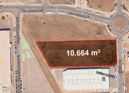
Land for sale340 m2 buildable | 161 m2 plot 390,000 € | 1,147 €/m2
It has supplies under the sun
Ideal for promoters
Excellent location
Verified Listing
The content of this page has been verified by the Belbex Research team – CoStar Group
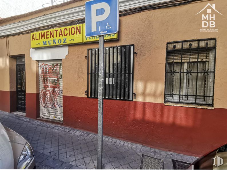
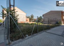
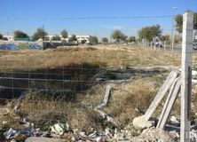
Plot for sale in Usera.
For sale in exclusive urban land for residential use consisting of a plot of 161 m2. It is classified as residential in height. It is located in the immediate vicinity of Marcelo Usera and next to metro line 6.
The surrounding area has all the services, schools, shops, pharmacies and parks. Next to the Doce de Octubre Hospital and the Plaza Elíptica interchange.
Last updated 2 months ago
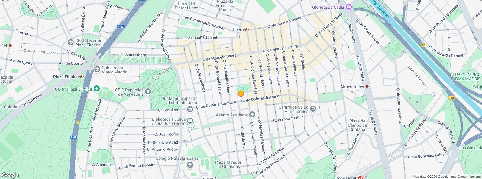
Location map
Map loading...
Contact
Transport
Bus
Line
Distance
Marcelo Usera-Gabriel Usera
47, 247, N15
111 m
Pza.Del Hidrogeno
6
169 m
Dolores Barranco-Jaspe
6
187 m
Rafaela Ybarra-Marcelo Usera
N15
279 m
Underground
Line
Distance
Usera
6
437 m
Plaza Elíptica
6, 11
768 m
Almendrales
3
874 m
Commuter train
Line
Distance
Doce de Octubre
C5
1 km
Orcasitas
C5
2 km
Pirámides
C1, C7, C10
2 km
Delicias
C1, C7, C10
2 km
Transport Node
Distance
Intercambiador de Plaza Elíptica
844 m
Estación de Atocha Renfe
3 km
Estación de Madrid-Chamartín
10 km
Aeropuerto Adolfo Suárez-Madrid Barajas
14 km
Points of interest
Commercial areas
Distance
Mercado Municipal de Usera
352 m
Mercado Municipal de Jesús del Gran Poder
656 m
C.C. Plaza Río 2
881 m
Alcampo Madrid Río
911 m
Hotels
Distance
Hotel Isis **
822 m
Hotel Praga ****
1 km
Rafael Hoteles Atocha ****
3 km
Public Administration
Distance
Junta Municipal de Distrito. Usera
298 m
Oficinas de empleo de Usera
587 m
Administración de la Agencia Tributaria Villaverde-Usera
716 m
Oficinas de empleo de San Isidro
2 km
Ayuntamiento de Madrid
4 km
Health
Distance
Centro de Salud Joaquín Rodrigo
357 m
Hospital Universitario 12 de Octubre
1 km
Protection and security
Distance
Comisaría tramitación de DNI y pasaporte - Madrid - Usera - Villaverde 2
Usera District is one of Madrid’s 21 districts, administratively arranged in the following quarters: Orcasitas, Orcasur, San Fermín, Almendrales, Moscardó, Zofío and Pradolongo. It covers a surface of 770.28 hectares and it is delimited by the River Manzanares, Puente de Praga, Paseo de Santa María de la Cabeza, Plaza de Fernández Ladreda, roads A-42 and M-40. It borders to the west and nothwest with Carabanchel, to the northeast with Arganzuela, to the east with Puente de Vallecas, and to the south with Villaverde District.