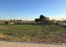

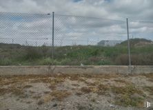
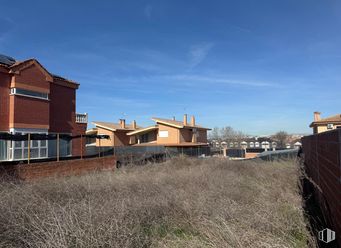
1,880 m2 plot
1,000,000 €
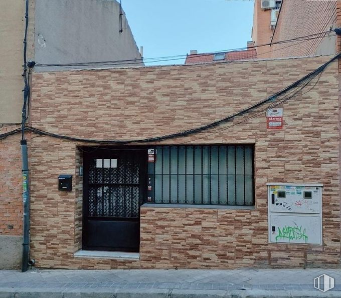
Plot for residential use with a total area of 75 m2.
The land offers many possibilities for those looking to invest in the real estate sector.
You can build several high-rise houses with a building area of 64 m2 per floor.
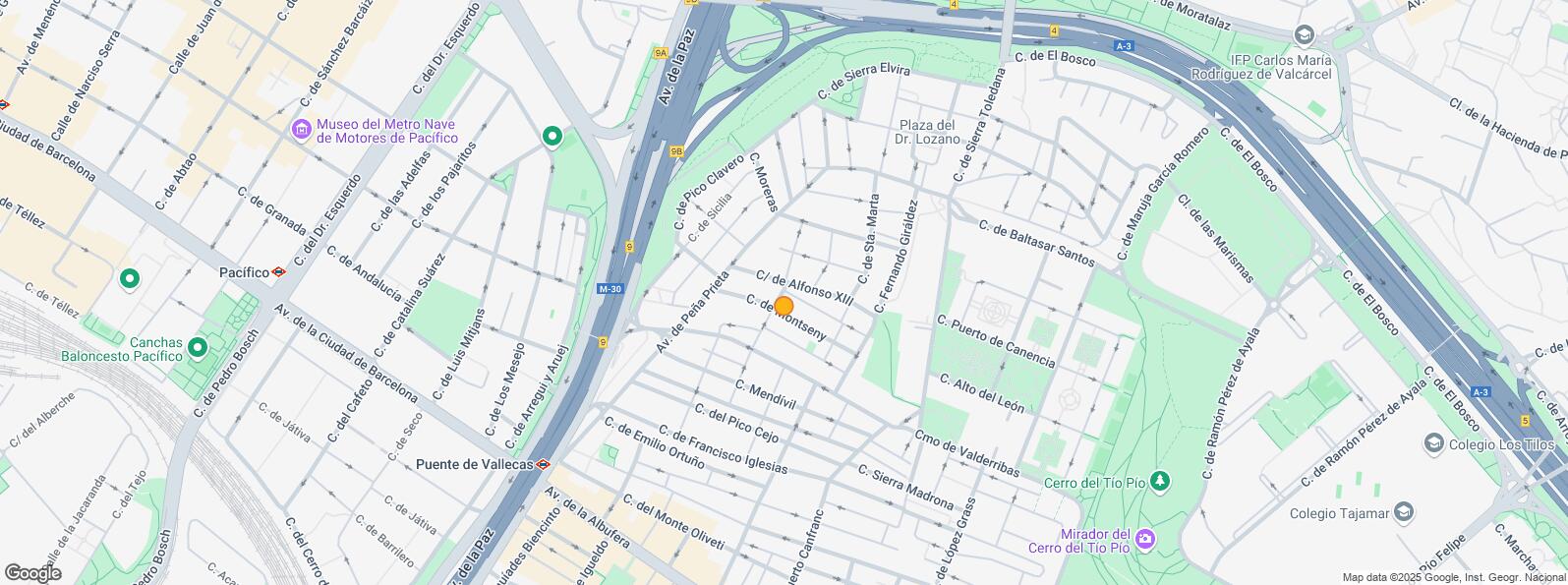
It is well connected by public transport, thanks to several urban bus lines and metro stations.
| Bus | Line | Distance |
|---|---|---|
| Alfonso XIIi-Peña Prieta | 8, 113 | 135 m |
| Mendivil-Doctor Salgado | 141 | 153 m |
| Av.Peña Prieta-Mendivil | 8, 113, 141 | 165 m |
| Cº Valderribas-Dr.Salgado | 141 | 167 m |
| Underground | Line | Distance |
|---|---|---|
| Puente de Vallecas | 1 | 440 m |
| Nueva Numancia | 1 | 531 m |
| Pacífico | 1, 6 | 867 m |
| Conde de Casal | 6 | 935 m |
| Commuter train | Line | Distance |
|---|---|---|
| Méndez Alvaro | C1, C5, C7, C10 | 1 km |
| Asamblea de Madrid-Entrevías | C1, C2, C7 | 2 km |
| Atocha | C1, C2, C3, C4, C5, C7, C8, C8a, C8b, C10 | 2 km |
| Delicias | C1, C7, C10 | 2 km |
| Transport Node | Distance |
|---|---|
| Área Intermodal de Conde de Casal | 826 m |
| Estación de Atocha Renfe | 2 km |
| Estación de Madrid-Chamartín | 8 km |
| Aeropuerto Adolfo Suárez-Madrid Barajas | 10 km |
| Taxi | Stop | Distance |
|---|---|---|
| Calle de la Sierra Toledana, 13 | 13.05 | 369 m |
| Commercial areas | Distance |
|---|---|
| Mercado Municipal de Doña Carlota | 409 m |
| Mercado Municipal de Puente de Vallecas | 643 m |
| Hipercor Méndez Álvaro | 1 km |
| C.C. Méndez Álvaro - Tiendas El Corte Inglés | 1 km |
| Hotels | Distance |
|---|---|
| Hotel Claridge **** | 740 m |
| Hotel Ayre Gran Hotel Colón **** | 1 km |
| Hotel AC Palacio del Retiro ***** | 3 km |
| Public Administration | Distance |
|---|---|
| Oficinas de empleo de Nueva Numancia | 254 m |
| Junta Municipal de Distrito. Puente de Vallecas | 460 m |
| Administración de Aduanas Madrid - Ferrocarril | 1 km |
| Oficinas de empleo de Atocha | 2 km |
| Ayuntamiento de Madrid | 3 km |
| Health | Distance |
|---|---|
| Centro de Salud Peña Prieta-Especialidades | 350 m |
| C.E. Peña Prieta - Hermanos Sangró | 377 m |
| Protection and security | Distance |
|---|---|
| I.Armas y Explosivos - Madrid | 717 m |
| Comisaría - Madrid - Puente de Vallecas | 881 m |
| Base de socorro de la Cruz Roja de Madrid. Avda. Moratalaz 50-52 | 933 m |
| Policía Municipal (OAC) Retiro | 1 km |
| Parque de Bomberos de Madrid Nº 8. Puente de Vallecas | 1 km |
| Other points of interest | Distance |
|---|---|
| Farmacia Avenida de Peña Prieta 39, Madrid | 116 m |
| Farmacia Calle de Francisco Iglesias 24, Madrid | 211 m |
| Gasolinera Avenida Albufera, 89 | 706 m |
| Parking mixto. Pza. del Conde de Casal | 726 m |
| Parking mixto. Calle Fernández Shaw | 726 m |
| Parque Cerro del Tío Pío | 879 m |
| Jardín de Plantas Aromáticas y Táctiles del Parque | 2 km |


Puente de Vallecas