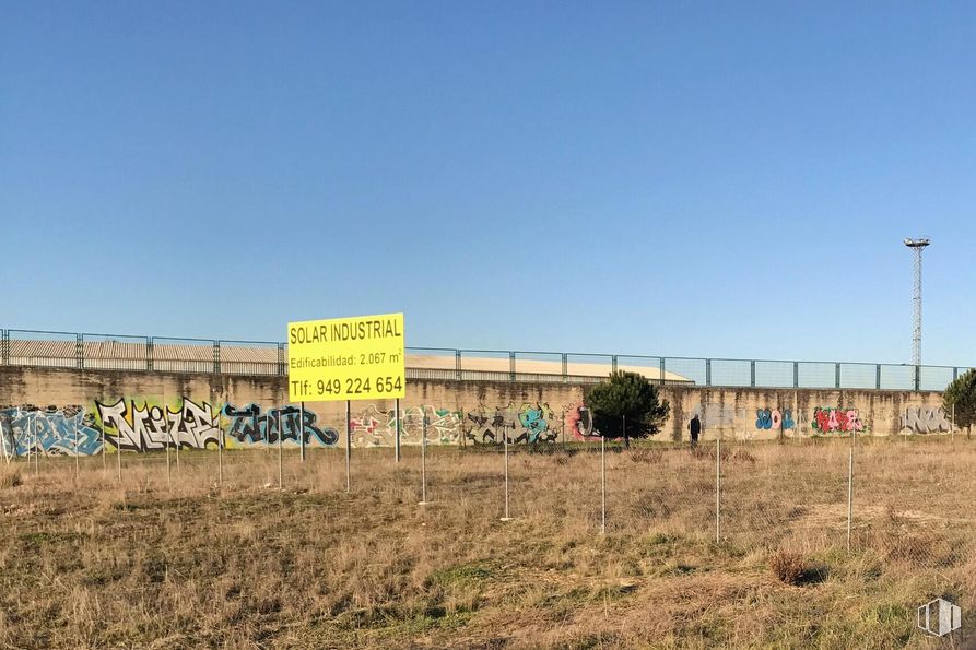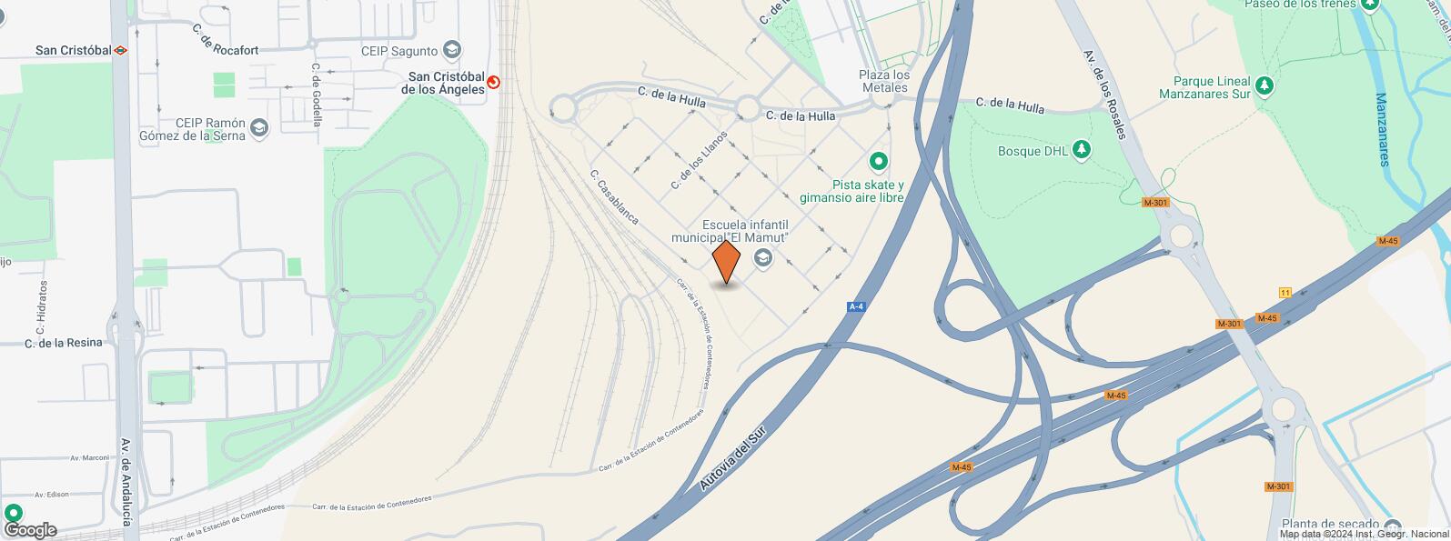


Tertiary/industrial plot in Villaverde (Butarque neighbourhood — New Parque Rosales) has 1768 m2 and a building capacity of 2048m2 with the possibility of two floors.
Included in the Partial Plan UZP-1.05 Villaverde — Neighbourhood “Butarque” is located on 1st Street and the resulting estates TE-1/1B and TE-1/3, CT-3 and VB-9.
It takes the form of an irregular 6-sided polygon, which encloses a horizontal flat surface of 1,768, 70 m2 in its perimeter and its boundaries are:
NORTH: Broken line of 3 straight sections from east to west measuring 4.10 m and 7.70 m with the resulting farm CT-3 and 29.12 m with the resulting farm TE-1/3.
SOUTH: 49.68 m straight line with the resulting farm TE-1/1B.
ESTE: Straight line of 35.73 m with 1st Street.
WEST: Straight line of 46.44 m with the resulting farm VB-9.
The Partial Plan supports for the building unit described, a maximum buildable capacity of 2,067 m2 corresponding to 1,653 U. A (U. U. units). Industrial use.
The price does not include community expenses, fees and taxes arising from the commercial activity of the premises.
| Commuter train | Line | Distance |
|---|---|---|
| San Cristóbal de los Angeles | C3 | 606 m |
| San Cristóbal Industrial | C3 | 2 km |
| Villaverde Bajo | C3, C4 | 2 km |
| Puente Alcocer | C5 | 3 km |
| Transport Node | Distance |
|---|---|
| Estación de Atocha Renfe | 8 km |
| Estación de Madrid-Chamartín | 15 km |
| Aeropuerto Adolfo Suárez-Madrid Barajas | 16 km |
| Commercial areas | Distance |
|---|---|
| Mercado Municipal de Villaverde Alto | 3 km |
| Carrefour Los Ángeles | 3 km |
| C.C. Los Ángeles | 3 km |
| Carrefour Getafe | 4 km |
| Hotels | Distance |
|---|---|
| Hotel Mercader **** | 3 km |
| Public Administration | Distance |
|---|---|
| Junta Municipal de Distrito. Villaverde | 3 km |
| Health | Distance |
|---|---|
| Centro de Salud San Cristobal | 911 m |
| C.E. Villaverde Cruce | 2 km |
| Protection and security | Distance |
|---|---|
| Parque de Bomberos de Madrid Nº 10. Villaverde | 2 km |
| Comisaría tramitación de DNI y pasaporte - Madrid - Usera - Villaverde 1 | 3 km |
| Policía Municipal (OAC) Villaverde | 3 km |
| Other points of interest | Distance |
|---|---|
| Gasolinera Calle Hulla, 22 | 426 m |
| Farmacia Calle del Berrocal 60, Madrid | 545 m |
| Farmacia Calle del Berrocal 11, Madrid | 753 m |
| Parque Dehesa Boyal | 1 km |
Villaverde


