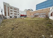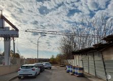

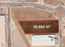
- Direct management with the Naves Arenas property, without intermediary fees
- Industrial plot with a high percentage of buildability
- In a consolidated industrial area
- Excellent communications by private transport
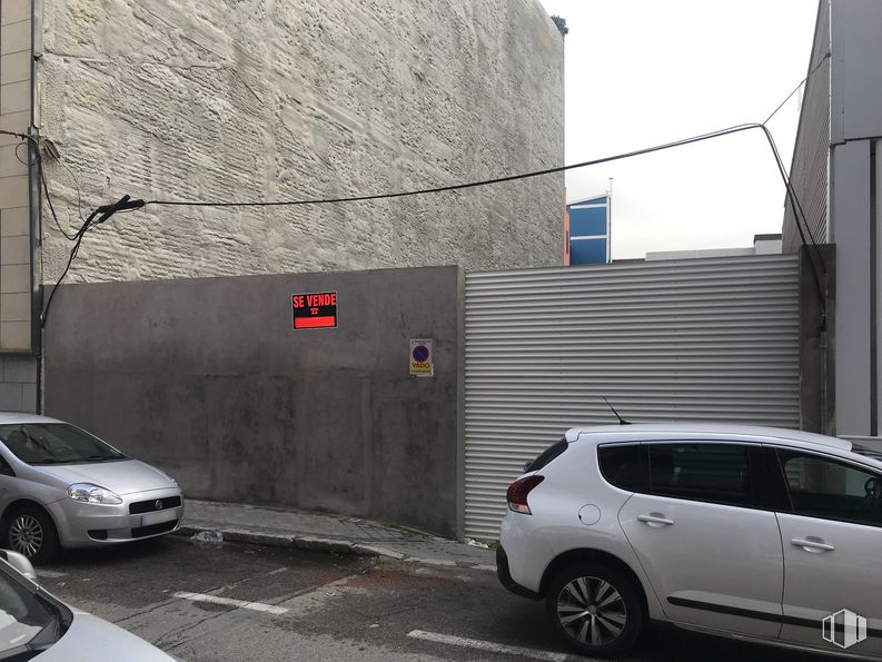

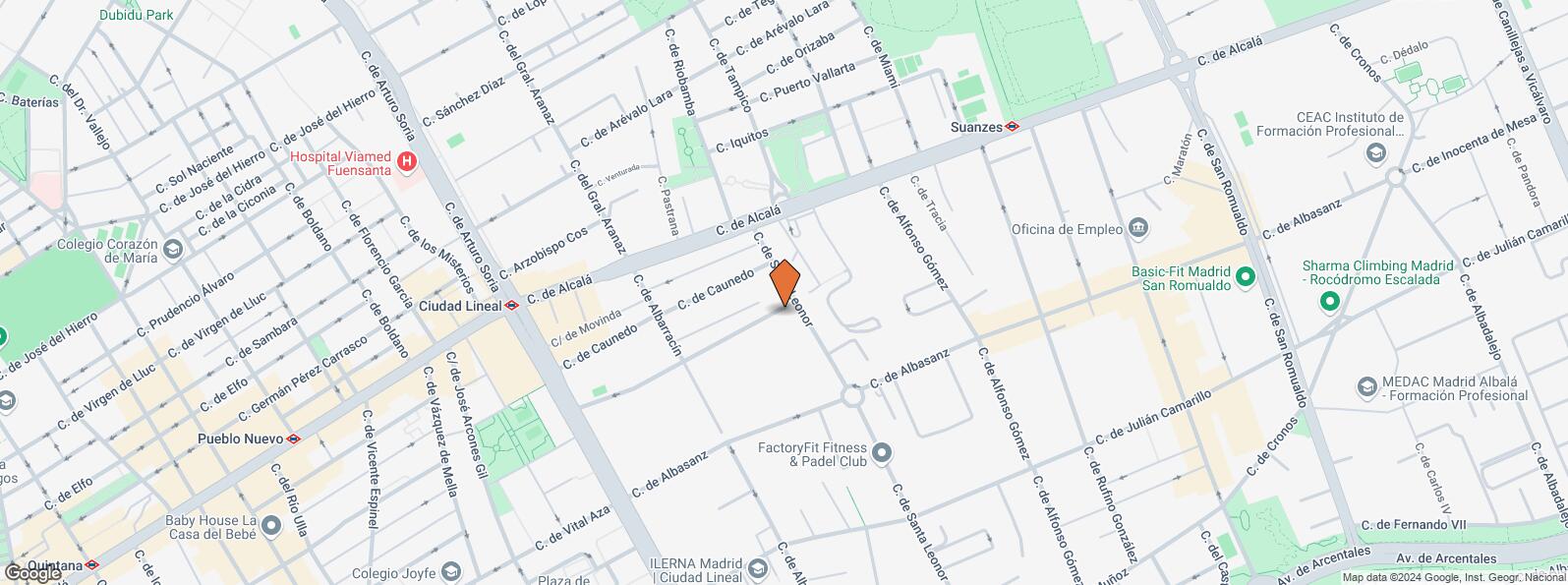
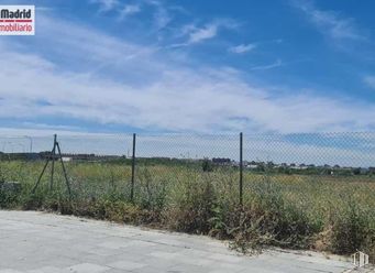
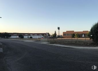
Building plot for tertiary industrial use of 1,543.2 m2 located in the Julián Camarillo Industrial Estate, Simancas.
Plot of 643 m2 of surface compatible with commercial tertiary use and equipment, complying with the NZ 9 ordinance with grade 4º-A. It has a buildability coefficient of 2.4 and allows a maximum height of 20 meters and five floors. Typology of closed block or between party walls and lateral setback of 3 meters and 10 meters of minimum plot front. The building could be attached to one of the boundaries from the first 12 meters.
Location very close to the streets of Arturo Soria, Alcalá, etc., in a business and residential environment with full services around. Easy connection to Alcalá Street and Arcentales Avenue and good communication by public transport (Ciudad Lineal and Suanzes metro). Quick and convenient road access from the A-2, M-30 and E-5.
| Bus | Line | Distance |
|---|---|---|
| Alcala-Sta.Leonor | 77, 104, N5 | 173 m |
| Alcala-Riobamba | 77, 104, N5 | 186 m |
| Alcala-Alegria de Oria | 77, 104, N5 | 258 m |
| Alcala-Alfonso Gomez | 77, 104, N5 | 273 m |
| Underground | Line | Distance |
|---|---|---|
| Ciudad Lineal | 5 | 440 m |
| Suanzes | 5 | 573 m |
| Interurban bus | Line | Distance |
|---|---|---|
| Madrid - Hnos. Gª Noblejas - Ciudad Lineal | 286, 288, 289, N203 | 466 m |
| Transport Node | Distance |
|---|---|
| Área Intermodal de Ciudad Lineal | 551 m |
| Aeropuerto Adolfo Suárez-Madrid Barajas | 6 km |
| Estación de Madrid-Chamartín | 6 km |
| Estación de Atocha Renfe | 6 km |
| Taxi | Stop | Distance |
|---|---|---|
| Calle de Alcala, 476 | 20.18 | 181 m |
| Commercial areas | Distance |
|---|---|
| C.C. Alcalá Norte | 511 m |
| Mercado Municipal de San Pascual | 2 km |
| C.C. Arturo Soria Plaza | 2 km |
| Mercado Municipal de Bami | 2 km |
| Hotels | Distance |
|---|---|
| Hotel Travelodge Madrid Alcalá * | 145 m |
| Hotel Velada Madrid **** | 171 m |
| Hotel Barceló Torre Arias **** | 384 m |
| Public Administration | Distance |
|---|---|
| Penal. Decanato de lo Penal. | 413 m |
| Junta Municipal de Distrito. Ciudad Lineal | 465 m |
| Juzgado de Menores - Juzgado de lo Penal | 640 m |
| Administración de la Agencia Tributaria San Blas | 2 km |
| Ayuntamiento de Madrid | 6 km |
| Health | Distance |
|---|---|
| Centro de Salud Avda. de Aragón | 435 m |
| Fuensanta S.l. (Clínica Fuensanta) | 727 m |
| Protection and security | Distance |
|---|---|
| Policía Municipal (OAC) Ciudad Lineal | 635 m |
| Jefatura Material Tráfico | 722 m |
| Comisaría tramitación de DNI y pasaporte - Madrid - San Blas | 2 km |
| Parque de Bomberos de Madrid Nº 7. San Blas | 2 km |
| Base de socorro de la Cruz Roja de Madrid. Avda. Moratalaz 50-52 | 4 km |
| Other points of interest | Distance |
|---|---|
| Farmacia Calle de Caunedo 57, Madrid | 95 m |
| Farmacia Calle de Alcalá 446, Madrid | 253 m |
| Gasolinera Calle Hermanos Garcia Noblejas, 35 | 574 m |
| Parque Quinta de los Molinos | 754 m |
| Parking mixto. Calle Miguel Yuste | 900 m |
| Parque Torre Arias | 1 km |

San Blas - Canillejas


