

Ref.: SRB0000103376
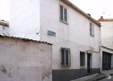
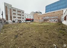
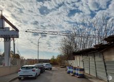
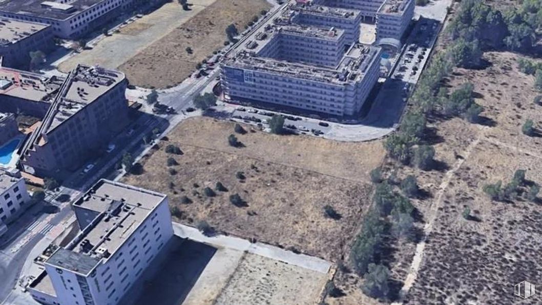
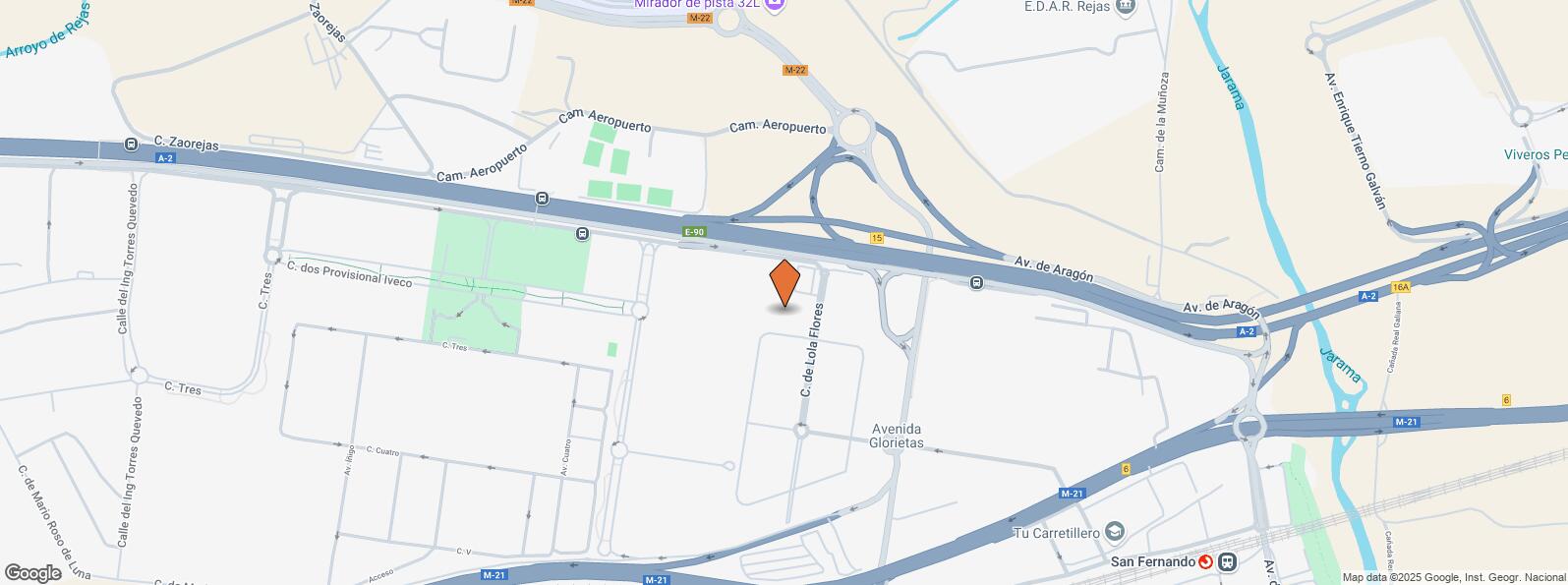
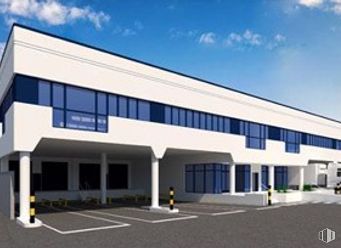
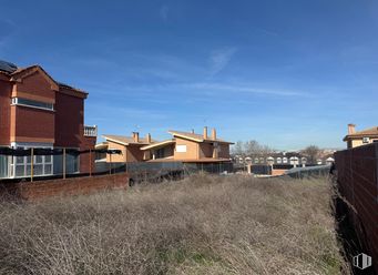
Sale of an urban plot for industrial or tertiary use of 7,640 buildings and an area of 1,923 m2 in Madrid.
This is a unique investment opportunity with the possibility of acquiring 6 more plots already classified as plots with a combined area of 9,773.45 m2 and a total building area of 23,021.33 m2.
These plots separated from each other are intended for industrial or tertiary uses, especially focused on offices. The location close to main road arteries and the airport makes this asset a strategic point for the development of large industrial or commercial projects.
More information on respect for plots:
Number of plots: 6.
Total area: 9,773.45 m2.
Qualified use: Industrial.
Buildability: 23,021.33 m2t.
Compatible use: Tertiary — Offices.
Building type: External building.
Maximum height: 20 m the ledge.
Minimum plot: 500 m2, with a minimum front of 10 m.
Maximum heights: 5 floors.
Floor height: 3 m.
Distance to borders: Minimum 3 m.
Parking facilities: 1 space per 100 m2.
| Interurban bus | Line | Distance |
|---|---|---|
| Alcala de Henares - Ctra. A2 - Pegaso City | 223, 227, 229, N202 | 403 m |
| Commuter train | Line | Distance |
|---|---|---|
| San Fernando de Henares | C1, C2, C7 | 894 m |
| Coslada | C1, C2, C7 | 3 km |
| Transport Node | Distance |
|---|---|
| Aeropuerto Adolfo Suárez-Madrid Barajas | 3 km |
| Estación de Madrid-Chamartín | 12 km |
| Estación de Atocha Renfe | 13 km |
| Commercial areas | Distance |
|---|---|
| Carrefour San Fernando | 1 km |
| Parque Comercial - Camino Real | 1 km |
| Parque Comercial Camino Real | 2 km |
| C.C. La Rambla | 2 km |
| Hotels | Distance |
|---|---|
| Hotel Crowne Plaza Madrid Airport **** | 132 m |
| Hotel AC Coslada **** | 330 m |
| Hotel SHS Aeropuerto *** | 517 m |
| Public Administration | Distance |
|---|---|
| Administración de Aduanas Madrid - TIR | 2 km |
| Ayuntamiento de San Fernando de Henares | 3 km |
| Junta Municipal de Distrito. Barajas | 4 km |
| Health | Distance |
|---|---|
| Consultorio de Barrio Estación | 1 km |
| Hospital Monográfico Asepeyo | 2 km |
| Protection and security | Distance |
|---|---|
| Parque de Bomberos de Coslada | 777 m |
| Jefatura Servicio Fiscal y Aeroportuario (Manjas) / Desto/ I. Armas y Explosivos | 2 km |
| Policía Local Coslada | 2 km |
| Comisaría tramitación de DNI y pasaporte, Oficina de extranjeros - Coslada | 3 km |
| Base de socorro de la Cruz Roja de Coslada. Calle Océano Pacífico, 3 | 4 km |
| Other points of interest | Distance |
|---|---|
| Gasolinera Carretera N-II, km.16 | 1 km |
San Blas - Canillejas


